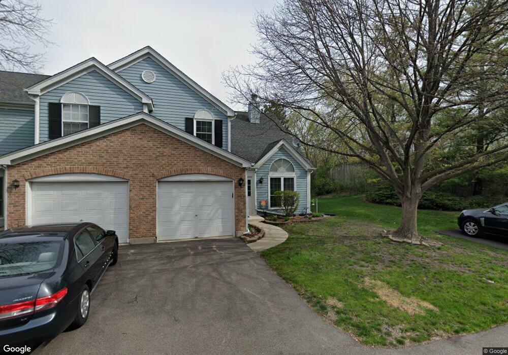
70 Lancaster Cir Unit D Gurnee, IL 60031
Estimated Value: $234,000 - $275,000
About This Home
This home is located at 70 Lancaster Cir Unit D, Gurnee, IL 60031 and is currently estimated at $249,472, approximately $182 per square foot. 70 Lancaster Cir Unit D is a home located in Lake County with nearby schools including Spaulding Elementary School, Viking Middle School, and Warren Township High School.
Ownership History
We collect this data history from publicly available records. To have your information removed, we recommend requesting removal directly through your county’s website.
Purchase Details
Home Financials for this Owner
Home Financials are based on the most recent Mortgage that was taken out on this home.Purchase Details
Home Financials for this Owner
Home Financials are based on the most recent Mortgage that was taken out on this home.Purchase Details
Purchase Details
Home Financials for this Owner
Home Financials are based on the most recent Mortgage that was taken out on this home.Home Values in the Area
Average Home Value in this Area
Purchase History
We collect this data history from publicly available records. To have your information removed, we recommend requesting removal directly through your county’s website.
| Date | Buyer | Sale Price | Title Company |
|---|---|---|---|
| $179,000 | First American Title Ins Co | ||
| -- | Prairie Title | ||
| $117,500 | -- | ||
| $71,666 | Preferred Land Title |
Mortgage History
We collect this data history from publicly available records. To have your information removed, we recommend requesting removal directly through your county’s website.
| Date | Status | Borrower | Loan Amount |
|---|---|---|---|
| Open | $143,200 | ||
| Previous Owner | $142,000 | ||
| Previous Owner | $102,125 |
Tax History
We collect this data history from publicly available records. To have your information removed, we recommend requesting removal directly through your county’s website.
| Year | Tax Paid | Tax Assessment Tax Assessment Total Assessment is a certain percentage of the fair market value that is determined by local assessors to be the total taxable value of land and additions on the property. | Land | Improvement |
|---|---|---|---|---|
| 2025 | $5,776 | $72,378 | $9,612 | $62,766 |
| 2024 | $5,332 | $68,547 | $8,227 | $60,320 |
| 2023 | $5,061 | $60,575 | $7,270 | $53,305 |
| 2022 | $5,061 | $56,364 | $7,271 | $49,093 |
| 2021 | $4,592 | $54,102 | $6,979 | $47,123 |
| 2020 | $4,445 | $52,772 | $6,807 | $45,965 |
| 2019 | $4,331 | $51,240 | $6,609 | $44,631 |
| 2018 | $3,987 | $47,287 | $4,331 | $42,956 |
| 2017 | $3,943 | $45,932 | $4,207 | $41,725 |
| 2016 | $3,815 | $43,887 | $4,020 | $39,867 |
| 2015 | $3,694 | $41,623 | $3,813 | $37,810 |
| 2014 | $4,212 | $47,981 | $3,740 | $44,241 |
| 2012 | $4,000 | $48,349 | $3,769 | $44,580 |
Map
- 265 Yorkshire Ct Unit 9
- 267 Yorkshire Ct Unit 9
- 4483 Brighton Ct Unit 4
- 255 Cumberland Ct Unit C
- 125 S Delany Rd
- 430 Gillings Dr
- 291 Jennifer Ct Unit 13
- 3947 Blackstone Ave
- 450 Tanglewood Dr
- 299 Concord Square
- 269 Concord Square
- 4669 Kings Way N
- 676 Framingham Ct
- 670 Williamsburg Ave
- 33564 Greenleaf St
- 4463 Cornell Ave
- 0 Greenview Ave Unit MRD12655895
- 0 Greenview Ave Unit MRD12655857
- 4437-4495 W Kennedy Dr
- 803 Pine Grove Ave
- 77 Lancaster Cir
- 75 Lancaster Cir Unit D
- 73 Lancaster Cir
- 4321 Buckingham Dr Unit A
- 71 Lancaster Cir Unit B
- 4317 Buckingham Dr Unit B
- 76 Lancaster Cir Unit A
- 74 Lancaster Cir
- 67 Lancaster Cir Unit A
- 63 Lancaster Cir Unit C
- 4311 Buckingham Dr Unit C
- 72 Lancaster Cir Unit C
- 4322 Buckingham Dr Unit D
- 79 Wiltshire Ct Unit A
- 61 Lancaster Cir Unit B
- 4318 Buckingham Dr
- 59 Lancaster Cir Unit A
- 81 Wiltshire Ct
- 4314 Buckingham Dr Unit B
- 4314 Buckingham Dr
Ask me questions while you tour the home.