70 Lunsford Rd Colquitt, GA 39837
Estimated Value: $134,000 - $215,000
3
Beds
2
Baths
1,421
Sq Ft
$119/Sq Ft
Est. Value
About This Home
This home is located at 70 Lunsford Rd, Colquitt, GA 39837 and is currently estimated at $169,078, approximately $118 per square foot. 70 Lunsford Rd is a home located in Miller County with nearby schools including Miller County Elementary School, Miller County Middle School, and Miller County High School.
Ownership History
Date
Name
Owned For
Owner Type
Purchase Details
Closed on
Aug 22, 2025
Sold by
Blanton Harriet H
Bought by
Enfinger Joshua Campbell
Current Estimated Value
Home Financials for this Owner
Home Financials are based on the most recent Mortgage that was taken out on this home.
Original Mortgage
$136,363
Outstanding Balance
$136,245
Interest Rate
6.74%
Mortgage Type
New Conventional
Estimated Equity
$32,833
Purchase Details
Closed on
Jun 1, 2007
Sold by
Harris Steven Dewayne
Bought by
Blanton Harriet H
Home Financials for this Owner
Home Financials are based on the most recent Mortgage that was taken out on this home.
Original Mortgage
$95,000
Interest Rate
6.12%
Mortgage Type
New Conventional
Purchase Details
Closed on
Dec 8, 2006
Sold by
Malowany Frank
Bought by
Harris Steven Dewayne
Create a Home Valuation Report for This Property
The Home Valuation Report is an in-depth analysis detailing your home's value as well as a comparison with similar homes in the area
Purchase History
| Date | Buyer | Sale Price | Title Company |
|---|---|---|---|
| Enfinger Joshua Campbell | $130,000 | -- | |
| Blanton Harriet H | $120,000 | -- | |
| Harris Steven Dewayne | $35,200 | -- |
Source: Public Records
Mortgage History
| Date | Status | Borrower | Loan Amount |
|---|---|---|---|
| Open | Enfinger Joshua Campbell | $136,363 | |
| Previous Owner | Blanton Harriet H | $95,000 |
Source: Public Records
Tax History
| Year | Tax Paid | Tax Assessment Tax Assessment Total Assessment is a certain percentage of the fair market value that is determined by local assessors to be the total taxable value of land and additions on the property. | Land | Improvement |
|---|---|---|---|---|
| 2025 | $2,478 | $74,768 | $3,350 | $71,418 |
| 2024 | $2,513 | $74,768 | $3,350 | $71,418 |
| 2023 | $1,992 | $55,929 | $3,350 | $52,579 |
| 2022 | $1,605 | $41,961 | $2,184 | $39,777 |
| 2021 | $1,588 | $41,961 | $2,184 | $39,777 |
| 2020 | $1,588 | $41,961 | $2,184 | $39,777 |
| 2019 | $1,593 | $41,961 | $2,184 | $39,777 |
| 2018 | $1,547 | $41,961 | $2,184 | $39,777 |
| 2017 | $1,547 | $41,961 | $2,184 | $39,777 |
| 2016 | $1,547 | $41,961 | $2,184 | $39,777 |
| 2015 | -- | $42,098 | $3,666 | $38,432 |
| 2014 | -- | $42,098 | $3,666 | $38,432 |
| 2013 | -- | $42,098 | $3,666 | $38,432 |
Source: Public Records
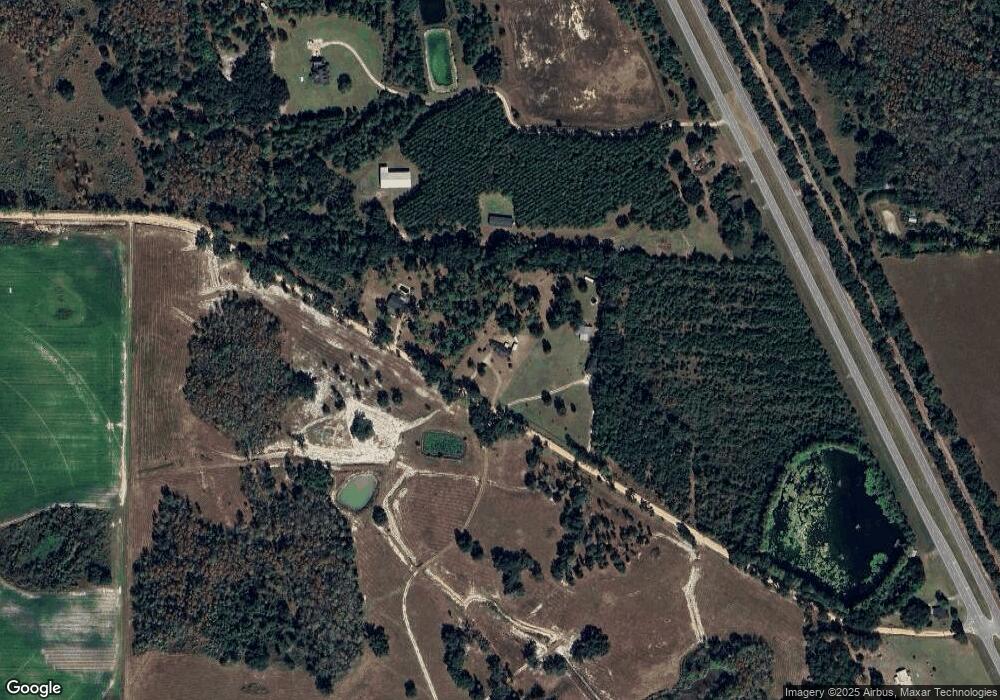
Map
Nearby Homes
- 1514 Whites Bridge Rd
- 708 E Crawford St
- 000 Thompson Town Rd
- 000 Bellview Rd
- 224 Brooks St
- 1203 Bellview Rd
- 244 E Grow St
- 511 Wilkin St
- 392 E Bush St
- 203 W Bush St
- 357 S 1st St
- 2493 Colquitt Hwy
- US 27 Us Highway 27
- 570 E Pine St
- 356 E Pine St
- 149 County Line Church Rd
- 994 Hornsby Rd
- 970 Babcock Rd Unit 964
- 156 E Geer St
- 300 N First St
- 48 Lunsford Rd
- 82 Lunsford Rd
- 1346 Ga Highway 27 S
- 0 Lunsford Rd
- 1316 Ga Highway 27 S
- 1298 Ga Highway 27 S
- 1406 Ga Highway 27 S
- 1420 Ga Highway 27 S
- 32 Boykin Dr
- 152 Lunsford Rd
- 1434 Ga Highway 27 S
- 1289 Ga Highway 27 S
- 1289 Ga Highway 27 S
- 0 Draper Jones Rd
- 10 Shepard Hall Rd
- 12 Shepard Hall Rd
- 16 Shepard Hall Rd
- 18 Shepard Hall Rd
- 28 Shepard Hall Rd
- 53 White Oak Rd S
Your Personal Tour Guide
Ask me questions while you tour the home.