70 Parr Rd Gurdon, AR 71743
Estimated Value: $193,000 - $218,478
Studio
2
Baths
2,196
Sq Ft
$94/Sq Ft
Est. Value
About This Home
This home is located at 70 Parr Rd, Gurdon, AR 71743 and is currently estimated at $206,159, approximately $93 per square foot. 70 Parr Rd is a home located in Clark County with nearby schools including Gurdon Primary School, Cabe Middle School, and Gurdon High School.
Ownership History
Date
Name
Owned For
Owner Type
Purchase Details
Closed on
Dec 13, 2021
Sold by
Sheets and Lori
Bought by
Harris Vincent C
Current Estimated Value
Home Financials for this Owner
Home Financials are based on the most recent Mortgage that was taken out on this home.
Original Mortgage
$60,000
Outstanding Balance
$13,810
Interest Rate
3.14%
Mortgage Type
Credit Line Revolving
Estimated Equity
$192,349
Purchase Details
Closed on
Sep 26, 2007
Bought by
Sheets Steven and Sheets Lori
Purchase Details
Closed on
Apr 8, 2005
Bought by
Wells Bonnie
Purchase Details
Closed on
Oct 1, 1983
Bought by
Wells Donald and Wells Bonnie
Create a Home Valuation Report for This Property
The Home Valuation Report is an in-depth analysis detailing your home's value as well as a comparison with similar homes in the area
Purchase History
| Date | Buyer | Sale Price | Title Company |
|---|---|---|---|
| Harris Vincent C | $110,000 | New Title Company Name | |
| Sheets Steven | $125,000 | -- | |
| Wells Bonnie | -- | -- | |
| Wells Donald | -- | -- |
Source: Public Records
Mortgage History
| Date | Status | Borrower | Loan Amount |
|---|---|---|---|
| Open | Harris Vincent C | $60,000 |
Source: Public Records
Tax History
| Year | Tax Paid | Tax Assessment Tax Assessment Total Assessment is a certain percentage of the fair market value that is determined by local assessors to be the total taxable value of land and additions on the property. | Land | Improvement |
|---|---|---|---|---|
| 2025 | $378 | $22,760 | $1,460 | $21,300 |
| 2024 | $435 | $18,610 | $1,050 | $17,560 |
| 2023 | $510 | $18,610 | $1,050 | $17,560 |
| 2022 | $429 | $18,610 | $1,050 | $17,560 |
| 2021 | $804 | $18,610 | $1,050 | $17,560 |
| 2020 | $747 | $18,610 | $1,050 | $17,560 |
| 2019 | $679 | $15,710 | $1,180 | $14,530 |
| 2018 | $671 | $15,710 | $1,180 | $14,530 |
| 2017 | $669 | $15,710 | $1,180 | $14,530 |
| 2016 | $671 | $15,710 | $1,180 | $14,530 |
| 2015 | $319 | $15,710 | $1,180 | $14,530 |
| 2014 | $333 | $16,030 | $1,240 | $14,790 |
Source: Public Records
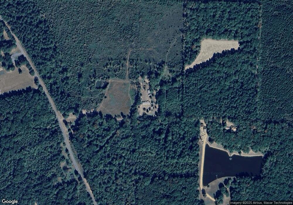
Map
Nearby Homes
- 1414 Ar-53 South Hwy
- 845 Stevenson Rd
- 196 Stevenson Rd
- 602 Stevenson Rd
- 1029 Center Point Rd
- 705 N 9th St
- 7104 Highway 67 S
- 908 E Pine St
- 109 N 7th St
- 0000 Arkansas 53
- 110 S 10th St
- 0 S 6th St
- 4174 Central Rd
- 000 Red Springs Rd
- 52 Curtis Rd
- 72 Curtis Rd
- 82 Curtis Rd
- 1491 Southfork Rd
- 108 Curtis Rd
- 0 Southfork Rd
- 171 Parr Rd
- 960 Highway 53 N
- 923 Highway 53 N
- 917 Highway 53 N
- 941 Highway 53 N
- 881 Highway 53 N
- 49 Amber Ln
- 29 Amber Ln
- 98 Amber Ln
- 1029 Highway 53 N
- 97 Amber Ln
- 69 Sandage Rd
- 64 Jester Rd
- 736 Highway 53 N
- 48 Collins Rd
- 729 Highway 53 N
- 739 Highway 53 N
- 57 Sandage Rd
- 57 Sandage Rd
- 1219 Highway 53 N
Your Personal Tour Guide
Ask me questions while you tour the home.