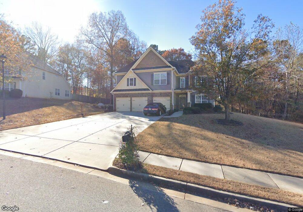
70 Tudor Way Senoia, GA 30276
Estimated Value: $516,000 - $569,000
4
Beds
4
Baths
4,267
Sq Ft
$127/Sq Ft
Est. Value
About This Home
This home is located at 70 Tudor Way, Senoia, GA 30276 and is currently estimated at $540,121, approximately $126 per square foot. 70 Tudor Way is a home located in Coweta County with nearby schools including Willis Road Elementary School, East Coweta Middle School, and East Coweta High School.
Ownership History
Date
Name
Owned For
Owner Type
Purchase Details
Closed on
Dec 27, 2006
Sold by
D R Horton Inc
Bought by
Penny Macarthur and Penny Brenda W
Current Estimated Value
Home Financials for this Owner
Home Financials are based on the most recent Mortgage that was taken out on this home.
Original Mortgage
$79,464
Outstanding Balance
$46,712
Interest Rate
6.1%
Mortgage Type
New Conventional
Estimated Equity
$493,409
Purchase Details
Closed on
Mar 8, 2005
Sold by
Scarbrough & Rolander Development
Bought by
D R Horton Inc
Create a Home Valuation Report for This Property
The Home Valuation Report is an in-depth analysis detailing your home's value as well as a comparison with similar homes in the area
Home Values in the Area
Average Home Value in this Area
Purchase History
| Date | Buyer | Sale Price | Title Company |
|---|---|---|---|
| Penny Macarthur | $309,500 | -- | |
| D R Horton Inc | $7,640,000 | -- |
Source: Public Records
Mortgage History
| Date | Status | Borrower | Loan Amount |
|---|---|---|---|
| Open | Penny Macarthur | $79,464 |
Source: Public Records
Tax History
| Year | Tax Paid | Tax Assessment Tax Assessment Total Assessment is a certain percentage of the fair market value that is determined by local assessors to be the total taxable value of land and additions on the property. | Land | Improvement |
|---|---|---|---|---|
| 2025 | $3,934 | $209,262 | $30,000 | $179,262 |
| 2024 | $3,570 | $194,888 | $30,000 | $164,888 |
| 2023 | $3,570 | $174,296 | $30,000 | $144,296 |
Source: Public Records
Map
Nearby Homes
- 190 Tudor Way
- 390 Staffin Dr
- 410 Staffin Dr
- 400 Staffin Dr
- 165 Teal Ct
- 235 Renwick Dr
- 385 Staffin Dr
- 130 Sapelo Dr
- 120 Sapelo Dr
- 170 Savannah Dr
- 290 Calebee Ave
- 75 Townsend Dr
- 60 Townsend Dr
- 300 Emerald Way
- 145 Sapelo Dr
- 310 Savannah Dr
- 300 Autumn Creek
- 320 Emerald Way
- 153 Brittany Ln
- 917 Stallings Rd Unit 29
Your Personal Tour Guide
Ask me questions while you tour the home.