70 Wheat Dr Unit 46 Abbottstown, PA 17301
Estimated Value: $358,000 - $410,000
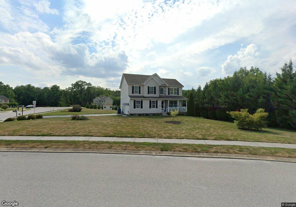
About This Home
This home is located at 70 Wheat Dr Unit 46, Abbottstown, PA 17301 and is currently estimated at $388,186, approximately $204 per square foot. 70 Wheat Dr Unit 46 is a home located in York County with nearby schools including Spring Grove Area Middle School, Spring Grove Area High School, and Paradise School.
Ownership History
We collect this data history from publicly available records. To have your information removed, we recommend requesting removal directly through your county’s website.
Purchase Details
Purchase Details
Home Financials for this Owner
Home Financials are based on the most recent Mortgage that was taken out on this home.Home Values in the Area
Average Home Value in this Area
Purchase History
We collect this data history from publicly available records. To have your information removed, we recommend requesting removal directly through your county’s website.
| Date | Buyer | Sale Price | Title Company |
|---|---|---|---|
| -- | None Listed On Document | ||
| -- | None Listed On Document | ||
| $229,351 | None Available |
Mortgage History
We collect this data history from publicly available records. To have your information removed, we recommend requesting removal directly through your county’s website.
| Date | Status | Borrower | Loan Amount |
|---|---|---|---|
| Previous Owner | $183,480 |
Tax History
We collect this data history from publicly available records. To have your information removed, we recommend requesting removal directly through your county’s website.
| Year | Tax Paid | Tax Assessment Tax Assessment Total Assessment is a certain percentage of the fair market value that is determined by local assessors to be the total taxable value of land and additions on the property. | Land | Improvement |
|---|---|---|---|---|
| 2026 | $7,477 | $213,900 | $51,430 | $162,470 |
| 2025 | $7,134 | $213,900 | $51,430 | $162,470 |
| 2024 | $7,057 | $213,900 | $51,430 | $162,470 |
| 2023 | $6,818 | $206,670 | $51,430 | $155,240 |
| 2022 | $6,818 | $206,670 | $51,430 | $155,240 |
| 2021 | $6,524 | $206,670 | $51,430 | $155,240 |
| 2020 | $6,503 | $206,670 | $51,430 | $155,240 |
| 2019 | $6,363 | $206,670 | $51,430 | $155,240 |
| 2018 | $6,278 | $206,670 | $51,430 | $155,240 |
| 2017 | $6,133 | $206,670 | $51,430 | $155,240 |
| 2016 | $0 | $206,130 | $51,430 | $154,700 |
| 2015 | -- | $206,130 | $51,430 | $154,700 |
| 2014 | -- | $38,470 | $38,470 | $0 |
Map
- 5 Chesapeake Dr
- 77 Moulstown Rd
- 7467 Saint Patrick Ct
- 7483 Saint Patrick Ct
- 7487 Saint Patrick Ct
- 7481 Saint Patrick Ct
- 7469 Saint Patrick Ct
- 7471 Saint Patrick Ct
- 7485 Saint Patrick Ct
- 7465 Saint Patrick Ct
- 7477 Saint Patrick Ct
- 7475 Saint Patrick Ct
- 7479 Saint Patrick Ct
- 7473 Saint Patrick Ct
- 7457 Saint Patrick Ct
- 36 Pine Rd
- 7630 Lincoln Hwy
- 15 Memories Ln
- 7666 Lincoln Hwy
- 7705 Altland Ave
- 70 Wheat Dr
- 68 Wheat Dr Unit 50
- 71 Wheat Dr
- 76 Wheat Dr
- 76 Wheat Dr Unit 47
- 65 Wheat Dr Unit 73
- 65 Wheat Dr
- 57 Wheat Dr
- 78 Wheat Dr
- 78 Wheat Dr Unit 48
- 68 Wheat Dr
- 69 Wheat Dr
- 69 Wheat Dr Unit 74
- 7518 Lincoln Hwy
- 53 Wheat Dr Unit 71
- 53 Wheat Dr
- 74 Clover Run
- 51 Wheat Dr Unit 70
- 51 Wheat Dr
- 0 Lincoln Hwy
Ask me questions while you tour the home.