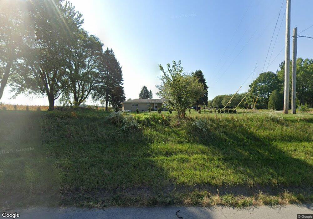
7004 E State Road 2 Rolling Prairie, IN 46371
Estimated Value: $269,000 - $336,000
3
Beds
2
Baths
1,492
Sq Ft
$206/Sq Ft
Est. Value
About This Home
This home is located at 7004 E State Road 2, Rolling Prairie, IN 46371 and is currently estimated at $306,780, approximately $205 per square foot. 7004 E State Road 2 is a home located in LaPorte County with nearby schools including New Prairie High School and Sacred Heart Apostolic School.
Ownership History
Date
Name
Owned For
Owner Type
Purchase Details
Closed on
Oct 31, 2022
Sold by
Merrill Charles
Bought by
Ahern Joseph T and Ahern Tammy L
Current Estimated Value
Home Financials for this Owner
Home Financials are based on the most recent Mortgage that was taken out on this home.
Original Mortgage
$226,647
Outstanding Balance
$218,698
Interest Rate
6.95%
Mortgage Type
FHA
Estimated Equity
$88,082
Purchase Details
Closed on
Jul 1, 2022
Sold by
Charles Merrill
Bought by
Merrill Charles
Home Financials for this Owner
Home Financials are based on the most recent Mortgage that was taken out on this home.
Original Mortgage
$166,250
Interest Rate
5.1%
Mortgage Type
New Conventional
Purchase Details
Closed on
Oct 24, 2017
Sold by
Mansfield Brandie M
Bought by
Merrill Charles
Home Financials for this Owner
Home Financials are based on the most recent Mortgage that was taken out on this home.
Original Mortgage
$136,363
Interest Rate
3.83%
Mortgage Type
New Conventional
Purchase Details
Closed on
Jan 25, 2011
Sold by
Matve Jean
Bought by
Mansfield Brandie M
Home Financials for this Owner
Home Financials are based on the most recent Mortgage that was taken out on this home.
Original Mortgage
$123,000
Interest Rate
4.82%
Mortgage Type
Purchase Money Mortgage
Create a Home Valuation Report for This Property
The Home Valuation Report is an in-depth analysis detailing your home's value as well as a comparison with similar homes in the area
Purchase History
| Date | Buyer | Sale Price | Title Company |
|---|---|---|---|
| Ahern Joseph T | -- | -- | |
| Merrill Charles | -- | Berkshire Law Llc | |
| Merrill Charles | -- | None Available | |
| Mansfield Brandie M | -- | Metropolitan Title |
Source: Public Records
Mortgage History
| Date | Status | Borrower | Loan Amount |
|---|---|---|---|
| Open | Ahern Joseph T | $226,647 | |
| Previous Owner | Merrill Charles | $166,250 | |
| Previous Owner | Merrill Charles | $136,363 | |
| Previous Owner | Mansfield Brandie M | $123,000 |
Source: Public Records
Tax History
| Year | Tax Paid | Tax Assessment Tax Assessment Total Assessment is a certain percentage of the fair market value that is determined by local assessors to be the total taxable value of land and additions on the property. | Land | Improvement |
|---|---|---|---|---|
| 2025 | $2,436 | $248,600 | $38,700 | $209,900 |
| 2024 | $2,240 | $241,300 | $38,700 | $202,600 |
| 2023 | $2,161 | $223,700 | $38,700 | $185,000 |
| 2022 | $1,717 | $177,700 | $38,700 | $139,000 |
| 2021 | $1,742 | $168,500 | $38,700 | $129,800 |
| 2020 | $1,802 | $168,500 | $38,700 | $129,800 |
| 2019 | $1,775 | $168,500 | $38,700 | $129,800 |
| 2018 | $1,386 | $148,800 | $29,200 | $119,600 |
| 2017 | $1,236 | $136,900 | $26,700 | $110,200 |
| 2016 | $1,416 | $142,500 | $26,700 | $115,800 |
| 2014 | $1,641 | $177,600 | $19,500 | $158,100 |
Source: Public Records
Map
Nearby Homes
- 6361 E State Road 2
- 7674 Potato Hole Ct
- 0 E Chicago Rd Unit NRA832986
- 8256 E State Road 2
- 3812 N 600 E
- 8416 E 400 N
- 67 Acres E 300 N
- 6798 E 350 N
- 55554 County Line Rd
- 33820 Early Rd
- 33810 Early Rd
- 33790 Early Rd
- 33780 Early Rd
- 33770 Early Rd
- 33760 Early Rd
- 33800 Early Rd
- 33750 Early Rd
- 33791 Early Rd
- 33740 Early Rd
- 33883 Sumerset Ln
- 7004 E State Road 2
- 7103 E State Road 2
- 7103 E State Road 2
- 7004 Indiana 2
- 7004 E State Road 2
- 4545 N Cougar Rd
- 4494 N 700 E
- 4484 N 700 E
- 4388 N 700 E
- 4412 N 700 E
- 6706 E State Road 2
- 6706 E St Rd 2
- 6706 E St
- Lot 2 N 700 E
- Lot 1 N 700 E
- 400 N 700 E
- 350-400 N 700 E
- 0-Lot 2 N 700 E
- 0-Lot 1 N 700 E
- 4242 N 700 E
Your Personal Tour Guide
Ask me questions while you tour the home.