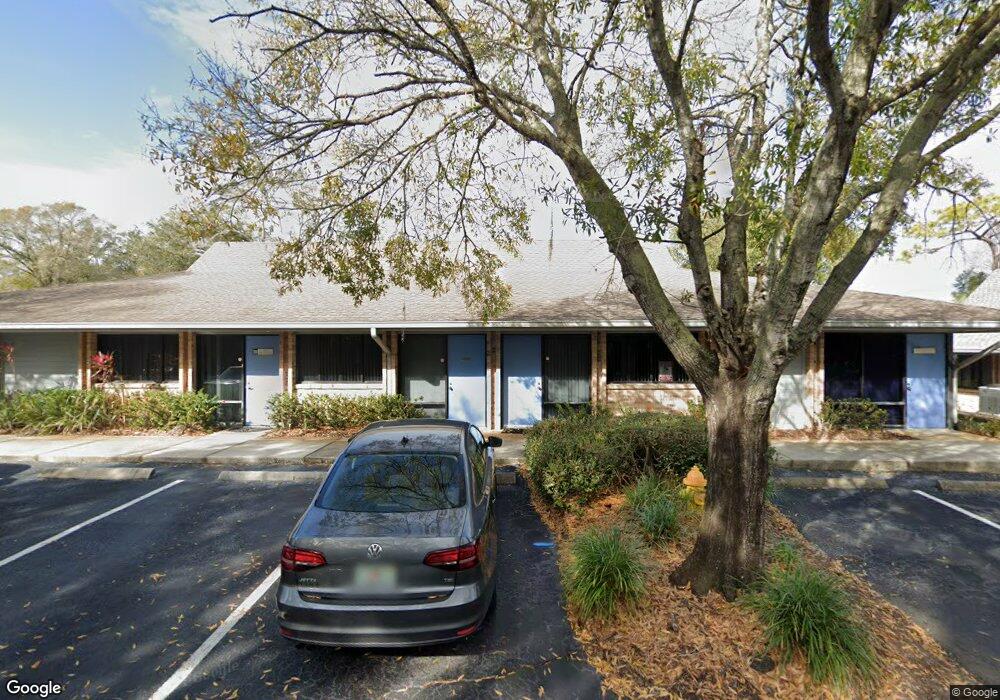
701 Enterprise Rd E Safety Harbor, FL 34695
Estimated Value: $650,406 - $812,000
About This Home
This home is located at 701 Enterprise Rd E, Safety Harbor, FL 34695 and is currently estimated at $722,135, approximately $257 per square foot. 701 Enterprise Rd E is a home located in Pinellas County with nearby schools including Leila Davis Elementary School, Countryside High School, and Safety Harbor Middle School.
Ownership History
We collect this data history from publicly available records. To have your information removed, we recommend requesting removal directly through your county’s website.
Purchase Details
Purchase Details
Purchase Details
Home Financials for this Owner
Home Financials are based on the most recent Mortgage that was taken out on this home.Home Values in the Area
Average Home Value in this Area
Purchase History
We collect this data history from publicly available records. To have your information removed, we recommend requesting removal directly through your county’s website.
| Date | Buyer | Sale Price | Title Company |
|---|---|---|---|
| $730,000 | Savvy Title Company Llc | ||
| -- | Attorney | ||
| $300,000 | -- |
Mortgage History
We collect this data history from publicly available records. To have your information removed, we recommend requesting removal directly through your county’s website.
| Date | Status | Borrower | Loan Amount |
|---|---|---|---|
| Previous Owner | $850,000 | ||
| Previous Owner | $850,000 |
Tax History
We collect this data history from publicly available records. To have your information removed, we recommend requesting removal directly through your county’s website.
| Year | Tax Paid | Tax Assessment Tax Assessment Total Assessment is a certain percentage of the fair market value that is determined by local assessors to be the total taxable value of land and additions on the property. | Land | Improvement |
|---|---|---|---|---|
| 2025 | $9,405 | $540,000 | -- | $540,000 |
| 2024 | $6,366 | $510,000 | -- | $510,000 |
| 2023 | $6,366 | $375,000 | $0 | $375,000 |
| 2022 | $5,761 | $330,000 | $0 | $330,000 |
| 2021 | $4,705 | $258,000 | $0 | $0 |
| 2020 | $4,342 | $235,000 | $0 | $0 |
| 2019 | $3,972 | $211,820 | $0 | $211,820 |
| 2018 | $4,006 | $211,820 | $0 | $0 |
| 2017 | $3,863 | $201,110 | $0 | $0 |
| 2016 | $3,716 | $190,400 | $0 | $0 |
| 2015 | $3,582 | $178,500 | $0 | $0 |
| 2014 | $3,525 | $174,900 | $0 | $0 |
Map
- 616 Fayette Dr N
- 2363 Flanders Way Unit C
- 2367 Flanders Way Unit D
- 3321 Meander Ln
- 612 Baldwin Ave Unit C
- 603 Baldwin Ave Unit B
- 2403 Country Trails Dr
- 30 Turnstone Dr
- 511 Longfellow Ct Unit B
- 2089 Swan Ln
- 56 Bay Woods Dr
- 514 Longfellow Ct Unit B
- 2402 Huntington Blvd
- 1706 Country Trails Dr
- 1609 Hampton Ct
- 2303 Oxford Ct
- 514 Tabor Ct Unit C
- 1215 Huntington Ln
- 1713 Tall Pine Cir
- 1611 Hampton Ln
- 701 Enterprise Rd E Unit 300
- 701 Enterprise Rd E Unit 100
- 701 Enterprise Rd E Unit 410
- 31 Harbor Woods Cir
- 33 Harbor Woods Cir
- 29 Harbor Woods Cir
- 3326 Enterprise Rd E
- 39 Harbor Woods Cir
- 27 Harbor Woods Cir
- 3324 Enterprise Rd E
- 48 Village Ln
- 21 Harbor Woods Cir
- 43 Harbor Woods Cir
- 23 Harbor Woods Cir
- 3322 Enterprise Rd E
- 40 Village Ln
- 17 Harbor Woods Cir
- 3406 Enterprise Rd E
- 45 Harbor Woods Cir
- 46 Village Ln
Ask me questions while you tour the home.