701 Ml Miller Rd Brooklet, GA 30415
Estimated Value: $483,000 - $1,486,465
3
Beds
2
Baths
2,084
Sq Ft
$473/Sq Ft
Est. Value
About This Home
This home is located at 701 Ml Miller Rd, Brooklet, GA 30415 and is currently estimated at $984,733, approximately $472 per square foot. 701 Ml Miller Rd is a home located in Bulloch County with nearby schools including Stilson Elementary School, Southeast Bulloch High School, and Southeast Bulloch Middle School.
Ownership History
Date
Name
Owned For
Owner Type
Purchase Details
Closed on
Aug 18, 2014
Sold by
Miller Ginger M
Bought by
Davis Ted L
Current Estimated Value
Purchase Details
Closed on
Feb 19, 2010
Sold by
Miller Ginger
Bought by
Boddiford Susan G
Purchase Details
Closed on
Oct 1, 2007
Sold by
Not Provided
Bought by
Miller Ginger
Purchase Details
Closed on
Jan 26, 2007
Sold by
Not Provided
Bought by
Miller Ginger
Create a Home Valuation Report for This Property
The Home Valuation Report is an in-depth analysis detailing your home's value as well as a comparison with similar homes in the area
Purchase History
We collect this data history from publicly available records. To have your information removed, we recommend requesting removal directly through your county’s website.
| Date | Buyer | Sale Price | Title Company |
|---|---|---|---|
| Davis Ted L | $800,000 | -- | |
| Boddiford Susan G | $46,020 | -- | |
| Miller Ginger | -- | -- | |
| Miller Ginger | -- | -- |
Source: Public Records
Tax History
| Year | Tax Paid | Tax Assessment Tax Assessment Total Assessment is a certain percentage of the fair market value that is determined by local assessors to be the total taxable value of land and additions on the property. | Land | Improvement |
|---|---|---|---|---|
| 2025 | $4,446 | $575,848 | $488,680 | $87,168 |
| 2024 | $3,827 | $323,580 | $240,200 | $83,380 |
| 2023 | $3,987 | $244,392 | $165,760 | $78,632 |
| 2022 | $3,322 | $209,430 | $138,174 | $71,256 |
| 2021 | $3,207 | $202,705 | $138,174 | $64,531 |
| 2020 | $3,203 | $178,177 | $115,123 | $63,054 |
| 2019 | $3,193 | $179,156 | $115,123 | $64,033 |
| 2018 | $2,217 | $126,039 | $99,770 | $26,269 |
| 2017 | $2,169 | $124,775 | $99,770 | $25,005 |
| 2016 | $2,168 | $124,314 | $99,770 | $24,544 |
| 2015 | $2,103 | $123,018 | $99,770 | $23,248 |
| 2014 | $1,856 | $123,018 | $99,770 | $23,248 |
Source: Public Records
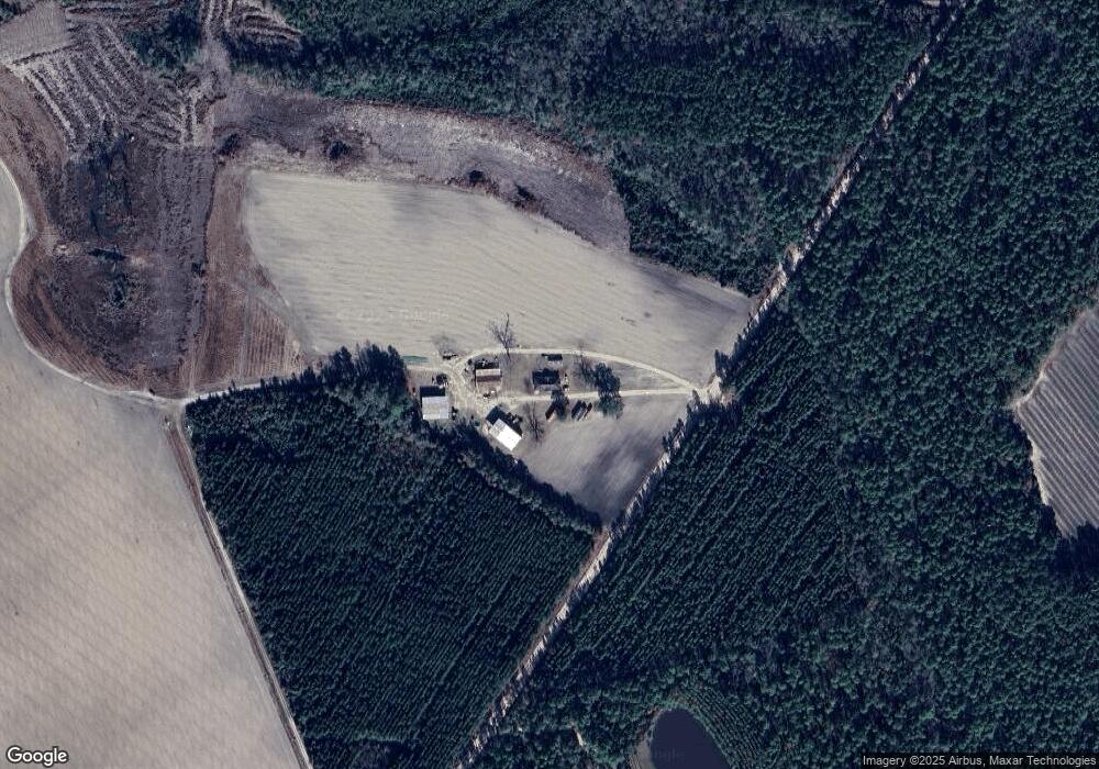
Map
Nearby Homes
- 0 Old River Rd S Unit 17387399
- 0 Old River Rd S Unit 17402901
- 206 Captain Cone Ct
- 552 Sherrod Rd
- 614-670 Pleasant Church Hill Rd
- 440 Rivercrest Dr
- 670 Pleasant Hill Church Rd
- 614 Pleasant Hill Church Rd
- 1 Stilson-Leefield Rd
- 2 Stilson-Leefield Rd
- 4 Stilson-Leefield Rd
- 4000 Old River Rd S
- 3 Stilson-Leefield Rd
- 0 Highway 119 N Unit 10458049
- 217 Fallen Leaf Dr
- 235 Fallen Leaf Dr
- 548 Sand Hill Rd
- 162 River Bluff Way
- 670 Belfast Loop
- 672 Belfast Loop
- 700 Ml Miller Rd
- 3000 Highway 119
- 2787 Ball Park Rd
- 14155 Mud Rd
- 11067 Ga Highway 119
- 10919 Ga Highway 119
- 1367 Ml Miller Rd
- 13815 Mud Rd
- 0 Mudd Unit 96704
- 13571 Highway 119 Connector
- 13883 Mud Rd
- 0 River Crest Dr Unit 49038
- 0 River Crest Dr Unit 49030
- 0 Riverview Rd Unit 2563644
- 32 Old River Rd S Unit LOT 32C
- 18 Old River Rd S Unit 18
- 12 Old River Rd S Unit 12
- 0 Riverview Rd Unit 280062
- 2 Old River Rd S
- 0 Riverview Rd Unit 8944825
Your Personal Tour Guide
Ask me questions while you tour the home.