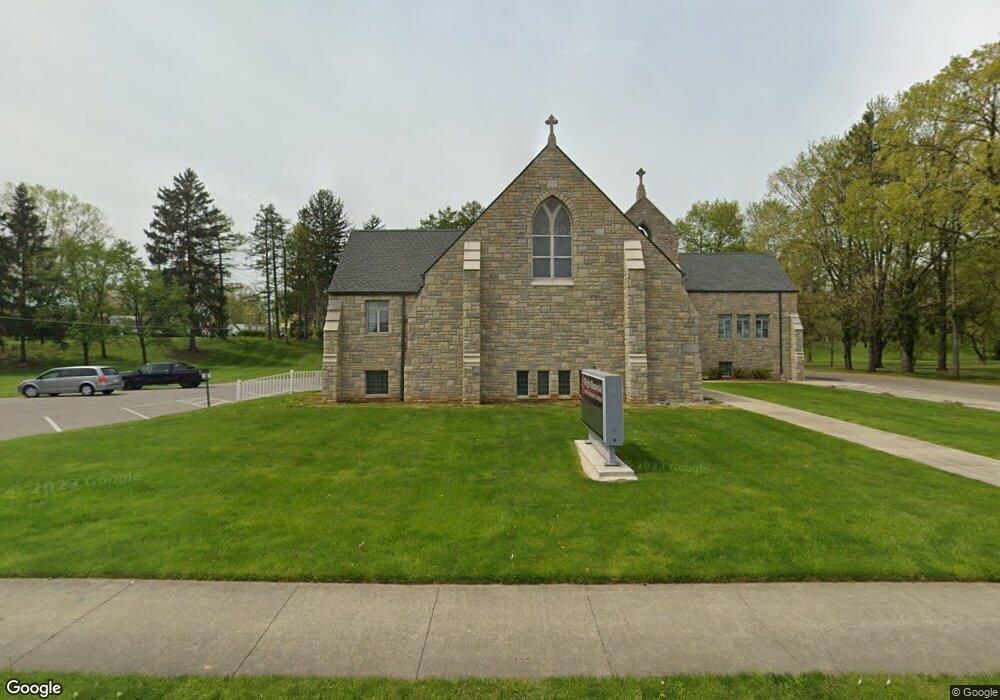
701 Mount Vernon Rd Newark, OH 43055
Estimated Value: $500,000 - $549,894
About This Home
This home is located at 701 Mount Vernon Rd, Newark, OH 43055 and is currently estimated at $518,974, approximately $131 per square foot. 701 Mount Vernon Rd is a home located in Licking County with nearby schools including John Clem Elementary School, Liberty Middle School, and Newark High School.
Ownership History
We collect this data history from publicly available records. To have your information removed, we recommend requesting removal directly through your county’s website.
Purchase Details
Home Financials for this Owner
Home Financials are based on the most recent Mortgage that was taken out on this home.Purchase Details
Purchase Details
Home Financials for this Owner
Home Financials are based on the most recent Mortgage that was taken out on this home.Home Values in the Area
Average Home Value in this Area
Purchase History
We collect this data history from publicly available records. To have your information removed, we recommend requesting removal directly through your county’s website.
| Date | Buyer | Sale Price | Title Company |
|---|---|---|---|
| $210,000 | Ohio Title | ||
| $366,500 | Jonathan Ti | ||
| $420,000 | -- |
Mortgage History
We collect this data history from publicly available records. To have your information removed, we recommend requesting removal directly through your county’s website.
| Date | Status | Borrower | Loan Amount |
|---|---|---|---|
| Previous Owner | $168,000 | ||
| Previous Owner | $300,000 |
Tax History
We collect this data history from publicly available records. To have your information removed, we recommend requesting removal directly through your county’s website.
| Year | Tax Paid | Tax Assessment Tax Assessment Total Assessment is a certain percentage of the fair market value that is determined by local assessors to be the total taxable value of land and additions on the property. | Land | Improvement |
|---|---|---|---|---|
| 2025 | $5,536 | $150,540 | $40,670 | $109,870 |
| 2024 | $5,395 | $150,540 | $40,670 | $109,870 |
| 2023 | $5,386 | $150,540 | $40,670 | $109,870 |
| 2022 | $4,372 | $108,850 | $26,950 | $81,900 |
| 2021 | $4,585 | $108,850 | $26,950 | $81,900 |
| 2020 | $4,690 | $108,850 | $26,950 | $81,900 |
| 2019 | $4,027 | $89,950 | $26,950 | $63,000 |
| 2018 | $4,029 | $0 | $0 | $0 |
| 2017 | $3,859 | $0 | $0 | $0 |
| 2016 | $3,968 | $0 | $0 | $0 |
| 2015 | $4,055 | $0 | $0 | $0 |
| 2014 | $5,185 | $0 | $0 | $0 |
| 2013 | $3,856 | $0 | $0 | $0 |
Map
- 247 Rugg Ave
- 206 Jefferson Rd
- 574 Mount Vernon Rd
- 325 Stare Rd
- 562 Prior Ave
- 20 Cherry St
- 391 Moull St
- 413 Sherwood Dr W
- 210 W Shields St
- 395 Mount Vernon Rd
- 370 Buckingham St
- 328 Eddy St
- 97 Manning St
- 584 Moull St Unit A
- 913 Roosevelt Ct
- 712 Meadow Dr
- 168 Waterworks Rd
- 18 E Oak St
- 11 Waterworks Rd
- 916 Lateglow Ct
- 222 N Quentin Rd
- 234 N Quentin Rd
- 744 Towne Krier Ct
- 240 N Quentin Rd
- 218 N Quentin Rd
- 206 N Quentin Rd
- 246 N Quentin Rd
- 247 N Quentin Rd
- 219 N Quentin Rd
- 194 N Quentin Rd
- 252 N Quentin Rd
- 207 N Quentin Rd
- 261 N Quentin Rd
- 741 Mount Vernon Rd
- 260 N Quentin Rd
- 186 N Quentin Rd
- 197 N Quentin Rd
- 260 S Quentin Rd
- 178 N Quentin Rd
- 220 S Quentin Rd
Ask me questions while you tour the home.