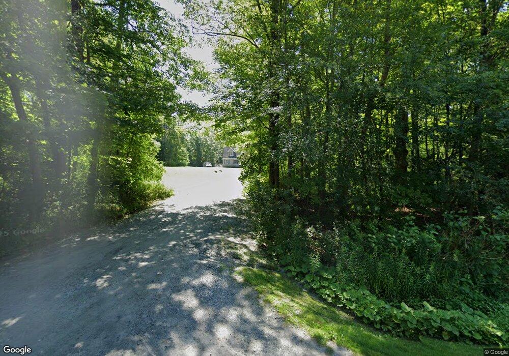
701 Swamp Rd Pittsfield, MA 01201
Estimated Value: $679,000 - $924,000
4
Beds
2
Baths
3,048
Sq Ft
$270/Sq Ft
Est. Value
About This Home
This home is located at 701 Swamp Rd, Pittsfield, MA 01201 and is currently estimated at $823,851, approximately $270 per square foot. 701 Swamp Rd is a home with nearby schools including Richmond Consolidated School.
Ownership History
Date
Name
Owned For
Owner Type
Purchase Details
Closed on
Apr 12, 2021
Sold by
Renzi Michael B Est
Bought by
Painted Acres Rt
Current Estimated Value
Purchase Details
Closed on
Sep 8, 1995
Sold by
Campoli Thomas L and Campoli Cheryl D
Bought by
Renzi Michael B and Renzi Deborah A
Create a Home Valuation Report for This Property
The Home Valuation Report is an in-depth analysis detailing your home's value as well as a comparison with similar homes in the area
Home Values in the Area
Average Home Value in this Area
Purchase History
| Date | Buyer | Sale Price | Title Company |
|---|---|---|---|
| Painted Acres Rt | -- | None Available | |
| Renzi Michael B | $50,000 | -- |
Source: Public Records
Mortgage History
| Date | Status | Borrower | Loan Amount |
|---|---|---|---|
| Previous Owner | Renzi Michael B | $360,000 | |
| Previous Owner | Renzi Michael B | $150,000 |
Source: Public Records
Tax History
| Year | Tax Paid | Tax Assessment Tax Assessment Total Assessment is a certain percentage of the fair market value that is determined by local assessors to be the total taxable value of land and additions on the property. | Land | Improvement |
|---|---|---|---|---|
| 2025 | $10,653 | $1,078,200 | $164,700 | $913,500 |
| 2024 | $10,447 | $1,073,700 | $157,100 | $916,600 |
| 2023 | $8,971 | $841,600 | $178,700 | $662,900 |
| 2022 | $9,026 | $708,500 | $178,700 | $529,800 |
| 2021 | $7,688 | $604,400 | $178,700 | $425,700 |
| 2020 | $7,669 | $619,500 | $178,600 | $440,900 |
| 2019 | $7,471 | $619,500 | $178,600 | $440,900 |
| 2018 | $7,279 | $619,500 | $178,600 | $440,900 |
| 2016 | $6,951 | $606,000 | $178,600 | $427,400 |
| 2015 | $6,654 | $606,000 | $178,600 | $427,400 |
Source: Public Records
Map
Nearby Homes
- 399 State Rd
- 1136 Barker Rd Unit 27
- 802 State Rd
- 0 Swamp Rd
- 15 Reservoir Rd
- 1772 Swamp Rd
- L16 Reservoir Rd
- 399 Under Mountain Rd
- 851 Lenox Rd
- 319 Under Mountain Rd
- 117 Lime Kiln Rd
- 40 Stearns Ave
- 551 Tamarack Rd
- 0 Jones Ave
- 103 Stearns Ave
- 90 Jones Ave
- 103 Alpine Trail
- 2200 Swamp Rd
- 42 Bryant St
- 249 Pittsfield Rd
Your Personal Tour Guide
Ask me questions while you tour the home.