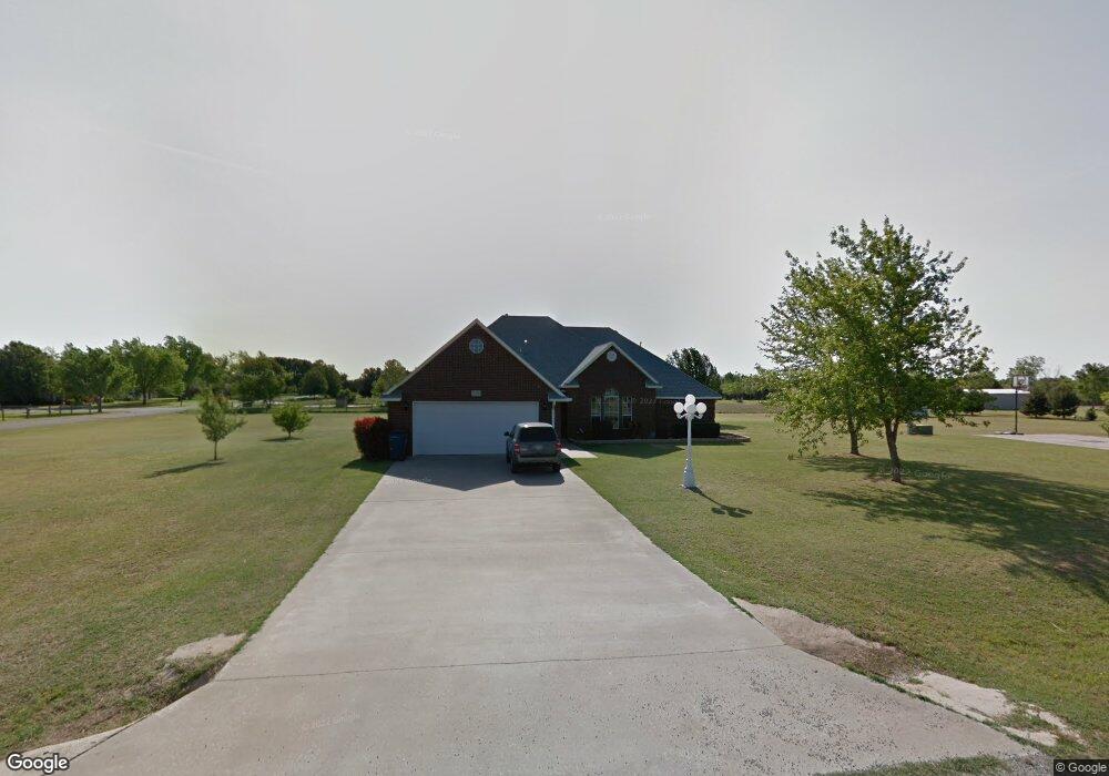
7010 Red Robin Rd Duncan, OK 73533
Estimated Value: $237,000 - $296,000
3
Beds
2
Baths
2,100
Sq Ft
$126/Sq Ft
Est. Value
About This Home
This home is located at 7010 Red Robin Rd, Duncan, OK 73533 and is currently estimated at $265,063, approximately $126 per square foot. 7010 Red Robin Rd is a home located in Stephens County with nearby schools including Marlow Elementary School, Marlow Middle School, and Marlow High School.
Ownership History
Date
Name
Owned For
Owner Type
Purchase Details
Closed on
Dec 23, 2011
Sold by
Mayes Cecil E
Bought by
Us Bank National Assn and Bear Stearns Assett Backed Securities Tr
Current Estimated Value
Purchase Details
Closed on
Sep 30, 2004
Sold by
Savoy Mark and Savoy Paula
Purchase Details
Closed on
Feb 3, 2003
Sold by
Johnson Benny and Johnson Margaret
Purchase Details
Closed on
Feb 14, 1996
Sold by
Action Investments
Create a Home Valuation Report for This Property
The Home Valuation Report is an in-depth analysis detailing your home's value as well as a comparison with similar homes in the area
Purchase History
| Date | Buyer | Sale Price | Title Company |
|---|---|---|---|
| Us Bank National Assn | -- | None Available | |
| -- | $150,000 | -- | |
| -- | $135,000 | -- | |
| -- | $6,500 | -- |
Source: Public Records
Tax History
| Year | Tax Paid | Tax Assessment Tax Assessment Total Assessment is a certain percentage of the fair market value that is determined by local assessors to be the total taxable value of land and additions on the property. | Land | Improvement |
|---|---|---|---|---|
| 2025 | $1,991 | $20,796 | $2,118 | $18,678 |
| 2024 | $1,953 | $19,602 | $2,118 | $17,484 |
| 2023 | $1,894 | $19,602 | $2,118 | $17,484 |
| 2022 | $1,792 | $19,031 | $2,118 | $16,913 |
| 2021 | $1,529 | $17,939 | $2,118 | $15,821 |
| 2020 | $1,753 | $19,760 | $2,118 | $17,642 |
| 2019 | $1,776 | $20,105 | $2,118 | $17,987 |
| 2018 | $1,708 | $20,105 | $2,118 | $17,987 |
| 2017 | $1,653 | $19,519 | $2,118 | $17,401 |
| 2016 | $1,601 | $18,399 | $2,118 | $16,281 |
| 2015 | $1,203 | $17,863 | $2,118 | $15,745 |
| 2014 | $1,203 | $17,343 | $2,118 | $15,225 |
Source: Public Records
Map
Nearby Homes
- 4179 W Gatlin Rd
- 0 N 44th St
- 1793 W Gatlin Rd
- 6161 N Alaska Dr
- 6191 N Alaska Dr
- 280251 Tanglewood Dr
- 279389 Highway 7
- ??? N Highway 81
- 280979 Shamrock Rd
- E Gatlin Rd Unit Marlow OK 73055
- 278824 E 1690 Rd
- 2001 Kingsbury Rd
- 0 Clear Springs Dr
- 3606 Woodknoll
- 3602 Woodknoll
- 1308 Twisted Oaks Dr
- 805 Daryl Place
- 4590 N 5th St
- 3505 Spencer Rd
- 1205 Timbercreek Dr
- 7105 Red Robin Rd
- 3120 Scissortail Dr
- 168177 Red Robin Rd
- 280742 280742 Scissortail
- 7004 Red Robin Rd
- 3110 Scissortail Dr
- 3125 Scissortail Dr
- 168151 Red Robin Rd
- 168151 Red Robin Rd
- 168151 168151 Red Robin Rd
- 280826 Scissortail Dr
- 7015 Red Robin Rd
- 280875 Scissortail Dr
- 168102 Red Robin Rd
- 3125 Whipporwill Ln
- 168103 Red Robin Rd
- 280725 Whippoorwill Ln
- 3025 Whipporwill Ln
- 3120 Whipporwill Ln
- 3025 Scissortail Dr
Your Personal Tour Guide
Ask me questions while you tour the home.