7010 Space Dr Cheyenne, WY 82009
Ranchettes NeighborhoodEstimated Value: $884,000 - $1,092,951
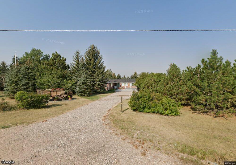
About This Home
This home is located at 7010 Space Dr, Cheyenne, WY 82009 and is currently estimated at $996,984, approximately $353 per square foot. 7010 Space Dr is a home located in Laramie County with nearby schools including Hobbs Elementary School, McCormick Junior High School, and Central High School.
Ownership History
We collect this data history from publicly available records. To have your information removed, we recommend requesting removal directly through your county’s website.
Purchase Details
Purchase Details
Home Financials for this Owner
Home Financials are based on the most recent Mortgage that was taken out on this home.Purchase Details
Home Financials for this Owner
Home Financials are based on the most recent Mortgage that was taken out on this home.Home Values in the Area
Average Home Value in this Area
Purchase History
We collect this data history from publicly available records. To have your information removed, we recommend requesting removal directly through your county’s website.
| Date | Buyer | Sale Price | Title Company |
|---|---|---|---|
| -- | None Available | ||
| -- | None Available | ||
| -- | None Available |
Mortgage History
We collect this data history from publicly available records. To have your information removed, we recommend requesting removal directly through your county’s website.
| Date | Status | Borrower | Loan Amount |
|---|---|---|---|
| Open | $415,625 | ||
| Previous Owner | $363,600 |
Tax History
We collect this data history from publicly available records. To have your information removed, we recommend requesting removal directly through your county’s website.
| Year | Tax Paid | Tax Assessment Tax Assessment Total Assessment is a certain percentage of the fair market value that is determined by local assessors to be the total taxable value of land and additions on the property. | Land | Improvement |
|---|---|---|---|---|
| 2025 | $6,298 | $92,001 | $9,305 | $82,696 |
| 2024 | $7,562 | $112,507 | $11,732 | $100,775 |
| 2023 | $6,325 | $108,648 | $11,732 | $96,916 |
| 2022 | $6,325 | $94,156 | $11,732 | $82,424 |
| 2021 | $5,816 | $86,366 | $9,413 | $76,953 |
| 2020 | $5,805 | $86,468 | $9,413 | $77,055 |
| 2019 | $5,315 | $79,092 | $9,413 | $69,679 |
| 2018 | $3,748 | $56,346 | $6,823 | $49,523 |
| 2017 | $3,637 | $54,148 | $6,611 | $47,537 |
| 2016 | $3,514 | $52,291 | $6,398 | $45,893 |
| 2015 | $3,449 | $51,296 | $6,398 | $44,898 |
| 2014 | $3,452 | $50,999 | $6,398 | $44,601 |
Map
- 2008 Eagle Dr
- Lot 15 Buckskin Trail
- 1340 Jack Ln
- 1305 Jessi Dr
- 7813 Powderhouse Rd
- 2510 Painted Horse Trail
- 1307 Marie Ln
- 1211 Jessi Dr
- 1231 Miracle Pkwy
- 1020 Alyssa Way
- 6712 Big Sky Trail
- 1126 White Water Ct
- 1054 Marie Ln
- 6808 Brave Ct
- 1119 Skyline Dr
- 925 Whispering Hills
- 918 Storey Blvd
- 7524 Legacy Pkwy
- 5808 Crestridge Dr
- 7120 Pasadena Rd
- 1810 Eagle Dr
- 1910 Eagle Dr
- 1811 Eagle Dr
- 1740 Eagle Dr
- 1913 Eagle Dr
- 6720 Space Dr
- 1930 Eagle Dr
- 2025 Columbia Dr
- 1725 Eagle Dr
- 7221 Space Dr
- 1710 Eagle Dr
- 1935 Eagle Dr
- 1803 Columbia Dr
- 2035 Columbia Dr
- 1739 Columbia Dr
- 7211 Astronaut Dr
- 2005 Eagle Dr
- 2030 Columbia Dr
- 1810 Columbia Dr
- 7313 Space Dr
Ask me questions while you tour the home.