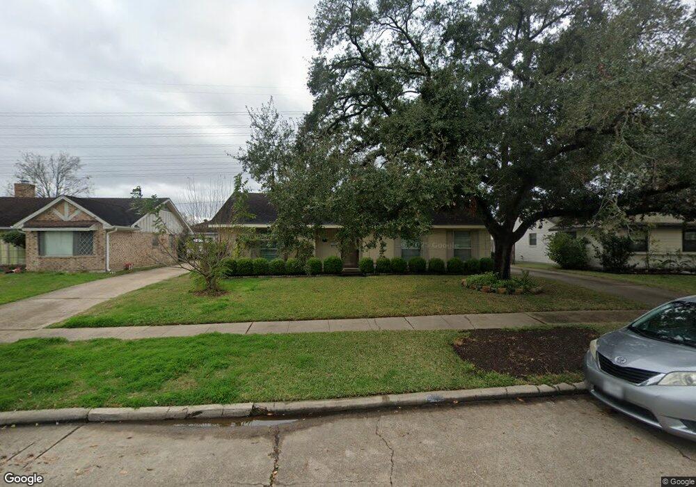
7018 Redding Rd Houston, TX 77036
Sharpstown NeighborhoodEstimated Value: $272,000 - $291,240
About This Home
This home is located at 7018 Redding Rd, Houston, TX 77036 and is currently estimated at $282,560, approximately $160 per square foot. 7018 Redding Rd is a home located in Harris County with nearby schools including Neff Elementary School, Sugar Grove Academy, and Sharpstown High School.
Ownership History
We collect this data history from publicly available records. To have your information removed, we recommend requesting removal directly through your county’s website.
Purchase Details
Home Financials for this Owner
Home Financials are based on the most recent Mortgage that was taken out on this home.Home Values in the Area
Average Home Value in this Area
Purchase History
We collect this data history from publicly available records. To have your information removed, we recommend requesting removal directly through your county’s website.
| Date | Buyer | Sale Price | Title Company |
|---|---|---|---|
| -- | First American Title |
Mortgage History
We collect this data history from publicly available records. To have your information removed, we recommend requesting removal directly through your county’s website.
| Date | Status | Borrower | Loan Amount |
|---|---|---|---|
| Closed | $111,200 |
Tax History
We collect this data history from publicly available records. To have your information removed, we recommend requesting removal directly through your county’s website.
| Year | Tax Paid | Tax Assessment Tax Assessment Total Assessment is a certain percentage of the fair market value that is determined by local assessors to be the total taxable value of land and additions on the property. | Land | Improvement |
|---|---|---|---|---|
| 2025 | $3,049 | $258,812 | $135,808 | $123,004 |
| 2024 | $2,961 | $228,374 | $98,084 | $130,290 |
| 2023 | $2,961 | $256,909 | $98,084 | $158,825 |
| 2022 | $4,711 | $208,107 | $60,359 | $147,748 |
| 2021 | $4,375 | $187,700 | $60,359 | $127,341 |
| 2020 | $4,403 | $176,000 | $60,359 | $115,641 |
| 2019 | $4,380 | $167,800 | $45,269 | $122,531 |
| 2018 | $2,842 | $154,510 | $45,269 | $109,241 |
| 2017 | $4,163 | $177,118 | $45,269 | $131,849 |
| 2016 | $3,784 | $172,713 | $45,269 | $127,444 |
| 2015 | $2,299 | $155,454 | $45,269 | $110,185 |
| 2014 | $2,299 | $134,757 | $45,269 | $89,488 |
Map
- 8530 Roos Rd
- 8811 Leader St
- 8531 Hiawatha Dr
- 8314 Edgemoor Dr
- 8910 Neff St
- 7103 Pella Dr
- 8222 Leader St
- 8511 De Moss Dr
- 8834 Sandstone St
- 7230 Pella Dr
- 8103 Mobud Dr
- 8506 Langdon Ln
- 8022 Stroud Dr
- 7919 Mobud Dr
- 6407 Burning Tree Dr
- 9238 Stroud Dr
- 6602 Harbor Town Dr Unit 506
- 6602 Harbor Town Dr Unit 308
- 9235 Sharpview Dr
- 9201 Clarewood Dr Unit 245
- 7110 Redding Rd
- 7114 Redding Rd
- 7106 Redding Rd
- 7118 Redding Rd
- 7102 Redding Rd
- 8526 Mobud Dr
- 7122 Redding Rd
- 7022 Redding Rd
- 8522 Mobud Dr
- 8527 Mobud Dr
- 8523 Edgemoor Dr
- 7126 Redding Rd
- 8523 Mobud Dr
- 8518 Mobud Dr
- 8519 Edgemoor Dr
- 7130 Redding Rd
- 7014 Redding Rd
- 7107 S Gessner Rd
- 7107 S Gessner Dr
- 7107 S Gessner Dr Unit + 7109
Ask me questions while you tour the home.