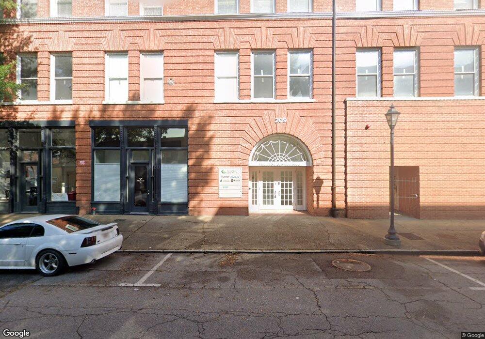
702 Broad St Augusta, GA 30901
Downtown Augusta Neighborhood
Studio
--
Bath
44,000
Sq Ft
0.32
Acres Lot
About This Home
This home is located at 702 Broad St, Augusta, GA 30901. 702 Broad St is a home located in Richmond County with nearby schools including Lamar Elementary School, W.S. Hornsby Elementary School, and Johnson Magnet.
Ownership History
Date
Name
Owned For
Owner Type
Purchase Details
Closed on
Jun 11, 2020
Sold by
Soto Properties Llc
Bought by
Vinea Properties Llc
Home Financials for this Owner
Home Financials are based on the most recent Mortgage that was taken out on this home.
Original Mortgage
$1,891,810
Outstanding Balance
$369,119
Interest Rate
3.2%
Mortgage Type
Commercial
Purchase Details
Closed on
Apr 15, 2020
Sold by
702 Broad Street Llc
Bought by
Soto Properties Llc
Home Financials for this Owner
Home Financials are based on the most recent Mortgage that was taken out on this home.
Original Mortgage
$1,891,810
Outstanding Balance
$369,119
Interest Rate
3.2%
Mortgage Type
Commercial
Purchase Details
Closed on
May 27, 2003
Sold by
Merry Land Properties Inc
Bought by
Merry Land Holdings Llc
Home Financials for this Owner
Home Financials are based on the most recent Mortgage that was taken out on this home.
Original Mortgage
$4,969,375
Interest Rate
5.68%
Mortgage Type
Unknown
Create a Home Valuation Report for This Property
The Home Valuation Report is an in-depth analysis detailing your home's value as well as a comparison with similar homes in the area
Home Values in the Area
Average Home Value in this Area
Purchase History
We collect this data history from publicly available records. To have your information removed, we recommend requesting removal directly through your county’s website.
| Date | Buyer | Sale Price | Title Company |
|---|---|---|---|
| Vinea Properties Llc | -- | -- | |
| Soto Properties Llc | $2,100,000 | -- | |
| Merry Land Holdings Llc | $300,000 | -- |
Source: Public Records
Mortgage History
We collect this data history from publicly available records. To have your information removed, we recommend requesting removal directly through your county’s website.
| Date | Status | Borrower | Loan Amount |
|---|---|---|---|
| Open | Vinea Properties Llc | $1,891,810 | |
| Previous Owner | Soto Properties Llc | $1,890,000 | |
| Previous Owner | Merry Land Holdings Llc | $4,969,375 |
Source: Public Records
Tax History
| Year | Tax Paid | Tax Assessment Tax Assessment Total Assessment is a certain percentage of the fair market value that is determined by local assessors to be the total taxable value of land and additions on the property. | Land | Improvement |
|---|---|---|---|---|
| 2025 | $26,745 | $895,274 | $30,666 | $864,608 |
| 2024 | $26,745 | $647,098 | $30,666 | $616,432 |
| 2023 | $19,225 | $621,702 | $30,666 | $591,036 |
| 2022 | $16,550 | $523,478 | $30,666 | $492,812 |
| 2021 | $10,098 | $523,478 | $30,666 | $492,812 |
| 2020 | $9,940 | $284,523 | $30,666 | $253,857 |
| 2019 | $10,616 | $284,523 | $30,666 | $253,857 |
| 2018 | $14,217 | $400,166 | $30,666 | $369,500 |
| 2017 | $0 | $400,166 | $30,666 | $369,500 |
| 2016 | $14,659 | $400,166 | $30,666 | $369,500 |
| 2015 | -- | $400,166 | $30,666 | $369,500 |
| 2014 | -- | $400,166 | $30,666 | $369,500 |
Source: Public Records
Map
Nearby Homes
- 1 7th St Unit 1402
- 1 7th St Unit 705
- 1 7th St Unit 805
- 1 7th St Unit STE 1105
- 1 7th St
- 1 7th St Unit 602
- 1 7th St Unit 1304
- 936 Broad St Unit 304
- 936 Broad St Unit 416
- 510 Walker St
- 434 Watkins St
- 716 5th St
- 509 Walton Way
- 137 Riverclub Ln
- 306 Ellis St
- 841 Barnes St
- 305 Walker St
- 416 3rd St
- 232 Broad St
- 231 Greene St
- 670 Broad St
- 212 7th St Unit 301
- 212 7th St Unit 202
- 714 Broad St
- 730 Broad Street (726 & 728)
- 631 Ellis St
- 726 Broad St
- 301 7th St
- 311 7th St
- 630 Ellis St
- 629 Greene St
- 528 Broad St
- 608 2A Broad St Unit 2-A
- 608 - B Broad St Unit B
- 725 Greene St
- 608 Broad St Unit 608-A
- 608 Broad St
- 608 Broad St Unit A
- 608 Broad St Unit 1
- 758 Broad St
Your Personal Tour Guide
Ask me questions while you tour the home.