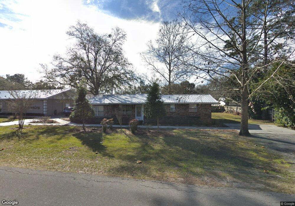
702 Chipshot Dr MacClenny, FL 32063
Estimated Value: $189,501
Studio
1
Bath
1,426
Sq Ft
$133/Sq Ft
Est. Value
About This Home
This home is located at 702 Chipshot Dr, MacClenny, FL 32063 and is currently estimated at $189,501, approximately $132 per square foot. 702 Chipshot Dr is a home located in Baker County with nearby schools including Keller Intermediate School, MacClenny Elementary School, and Baker County Middle School.
Ownership History
Date
Name
Owned For
Owner Type
Purchase Details
Closed on
Apr 1, 2019
Sold by
Ferreira Amber and Porter Amber
Bought by
Ferreira Todd
Current Estimated Value
Purchase Details
Closed on
Dec 12, 2006
Sold by
Wilds Douglas L
Bought by
Ferriera V Todd
Home Financials for this Owner
Home Financials are based on the most recent Mortgage that was taken out on this home.
Original Mortgage
$96,800
Interest Rate
6.29%
Mortgage Type
Unknown
Purchase Details
Closed on
Feb 4, 2006
Sold by
Wilds Candy L
Bought by
Wilds Douglas L
Create a Home Valuation Report for This Property
The Home Valuation Report is an in-depth analysis detailing your home's value as well as a comparison with similar homes in the area
Home Values in the Area
Average Home Value in this Area
Purchase History
| Date | Buyer | Sale Price | Title Company |
|---|---|---|---|
| Ferreira Todd | -- | Attorney | |
| Ferriera V Todd | $121,000 | Baker Title & Escrow Co Inc | |
| Wilds Douglas L | -- | Attorney |
Source: Public Records
Mortgage History
| Date | Status | Borrower | Loan Amount |
|---|---|---|---|
| Closed | Ferriera V Todd | $96,800 |
Source: Public Records
Tax History
| Year | Tax Paid | Tax Assessment Tax Assessment Total Assessment is a certain percentage of the fair market value that is determined by local assessors to be the total taxable value of land and additions on the property. | Land | Improvement |
|---|---|---|---|---|
| 2025 | $1,877 | $108,775 | $30,000 | $78,775 |
| 2024 | $1,878 | $108,775 | $30,000 | $78,775 |
| 2023 | $1,894 | $108,775 | $30,000 | $78,775 |
| 2022 | $1,820 | $103,775 | $25,000 | $78,775 |
| 2021 | $1,768 | $98,237 | $20,000 | $78,237 |
| 2020 | $1,741 | $95,737 | $0 | $0 |
| 2019 | $1,755 | $95,737 | $17,500 | $78,237 |
| 2018 | $1,776 | $95,737 | $0 | $0 |
| 2017 | $1,735 | $92,681 | $0 | $0 |
| 2016 | $1,709 | $89,504 | $0 | $0 |
| 2015 | $1,657 | $85,050 | $0 | $0 |
| 2014 | $1,619 | $82,399 | $0 | $0 |
Source: Public Records
Map
Nearby Homes
- 639 W Ohio Ave
- 724 Miltondale Rd
- 406 Barbara Cir
- 717 Bogie Dr
- 369 Owen Acres Dr
- 768 Constitution Place
- 551 Heritage Crossing
- 906 Jacqueline Cir
- 724 Liberty Cir
- 570 Independence Dr
- 574 Independence Dr
- 288 W Ohio Ave
- 553 Lissie Ct
- 702 N 7th St
- 172 W Mciver Ave
- 6121 Michele Rd
- 47 N 5th St
- 423 South Blvd W
- 34 N College St
- 0 6th St
Your Personal Tour Guide
Ask me questions while you tour the home.