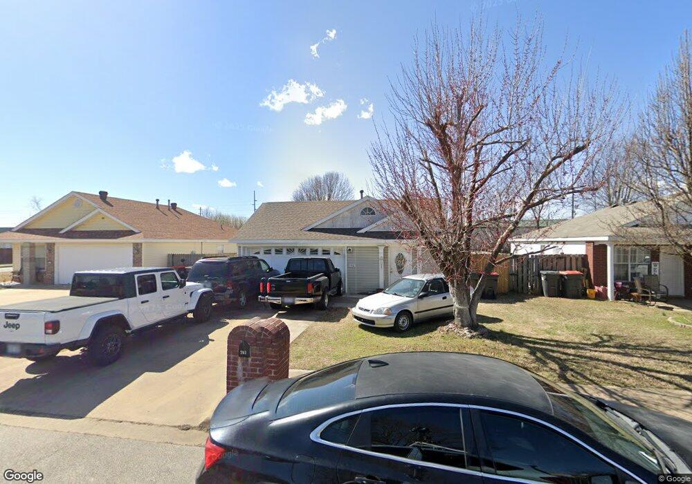
702 Locust St Springdale, AR 72762
Estimated Value: $249,000 - $271,000
3
Beds
2
Baths
1,130
Sq Ft
$230/Sq Ft
Est. Value
About This Home
This home is located at 702 Locust St, Springdale, AR 72762 and is currently estimated at $260,426, approximately $230 per square foot. 702 Locust St is a home located in Washington County with nearby schools including Elmdale Elementary School, Southwest Junior High School, and Helen Tyson Middle School.
Ownership History
Date
Name
Owned For
Owner Type
Purchase Details
Closed on
Jan 31, 2022
Sold by
Elias Guzman Jose and Elias Gloria Maria
Bought by
Guzman Jose Elias and Vega Maria Gloria
Current Estimated Value
Purchase Details
Closed on
Feb 9, 1998
Bought by
Guzman Jose Elias
Purchase Details
Closed on
Jun 9, 1997
Bought by
Terminella, Inc
Purchase Details
Closed on
Sep 19, 1996
Bought by
Central Village, Inc An
Create a Home Valuation Report for This Property
The Home Valuation Report is an in-depth analysis detailing your home's value as well as a comparison with similar homes in the area
Purchase History
| Date | Buyer | Sale Price | Title Company |
|---|---|---|---|
| Guzman Jose Elias | -- | None Listed On Document | |
| Guzman Jose Elias | $64,000 | -- | |
| Terminella, Inc | $16,000 | -- | |
| Birddog Development, Llc | $683,000 | -- | |
| Central Village, Inc An | -- | -- |
Source: Public Records
Tax History
| Year | Tax Paid | Tax Assessment Tax Assessment Total Assessment is a certain percentage of the fair market value that is determined by local assessors to be the total taxable value of land and additions on the property. | Land | Improvement |
|---|---|---|---|---|
| 2025 | $1,518 | $43,990 | $12,600 | $31,390 |
| 2024 | $1,403 | $43,990 | $12,600 | $31,390 |
| 2023 | $1,312 | $43,990 | $12,600 | $31,390 |
| 2022 | $1,178 | $29,550 | $6,000 | $23,550 |
| 2021 | $1,088 | $29,550 | $6,000 | $23,550 |
| 2020 | $997 | $29,550 | $6,000 | $23,550 |
| 2019 | $906 | $17,200 | $5,000 | $12,200 |
| 2018 | $906 | $17,200 | $5,000 | $12,200 |
| 2017 | $898 | $17,200 | $5,000 | $12,200 |
| 2016 | $736 | $14,090 | $5,000 | $9,090 |
| 2015 | $736 | $14,090 | $5,000 | $9,090 |
| 2014 | $784 | $15,020 | $5,000 | $10,020 |
Source: Public Records
Map
Nearby Homes
- 659 Westbury St
- 2700 Mcmillan Dr
- 2704 Mcmillan Dr
- 1107 White Rd
- 2503 Toni Ave
- 1104 Letha Dr
- 548 Westford St
- 524 Westford St
- 2403 Trudi Place
- 2007 W Huntsville Ave
- 1004 Daline St
- 603 Thomas Blvd
- 1300 Silent Grove Rd
- 802 Andy St
- 355 Andy St
- 1101 Karena St
- 718 Morrison Place
- 3602 W Emma Ave
- 710 Hinshaw Dr
- 801 Morrison Place
- 718 Locust
- 718 Locust St
- 686 Locust St
- 732 Locust St
- 2987 Chestnut Ave
- 640 Locust St
- 693 White Rd Unit A
- 693 White Rd
- 760 Locust St
- 2974 Mimosa Ave
- 2973 Chestnut Ave
- 622 Locust St
- 2989 Mimosa Ave
- 5560 Little Field Ave
- 5499 Little Field Ave
- 5544 Little Field Ave
- 5483 Little Field Ave
- 5582 Little Field Ave
- 5400 Little Field Ave
- 5522 Little Field Ave
Your Personal Tour Guide
Ask me questions while you tour the home.