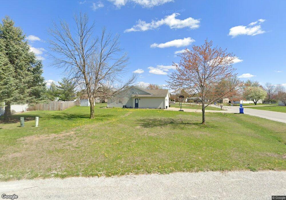
702 N Bitterroot Ct Athens, IL 62613
Estimated Value: $185,000 - $216,000
Studio
--
Bath
1,560
Sq Ft
$127/Sq Ft
Est. Value
About This Home
This home is located at 702 N Bitterroot Ct, Athens, IL 62613 and is currently estimated at $197,638, approximately $126 per square foot. 702 N Bitterroot Ct is a home located in Menard County with nearby schools including Cantrall Elementary School, Cantrall Intermediate School, and Athens Junior High School.
Ownership History
Date
Name
Owned For
Owner Type
Purchase Details
Closed on
Aug 1, 2018
Bought by
Kuhlmann Chanda
Current Estimated Value
Purchase Details
Closed on
Jan 1, 2016
Sold by
Diskey Todd A and Diskey Samantha E
Bought by
Kuhlmann Chanda
Purchase Details
Closed on
Jun 5, 2012
Sold by
Diskey Todd Alan and Diskey Samantha
Bought by
Dion William C
Home Financials for this Owner
Home Financials are based on the most recent Mortgage that was taken out on this home.
Original Mortgage
$98,400
Interest Rate
3.87%
Create a Home Valuation Report for This Property
The Home Valuation Report is an in-depth analysis detailing your home's value as well as a comparison with similar homes in the area
Purchase History
We collect this data history from publicly available records. To have your information removed, we recommend requesting removal directly through your county’s website.
| Date | Buyer | Sale Price | Title Company |
|---|---|---|---|
| Kuhlmann Chanda | $148,000 | -- | |
| Kuhlmann Chanda | -- | -- | |
| Dion William C | $123,000 | -- |
Source: Public Records
Mortgage History
We collect this data history from publicly available records. To have your information removed, we recommend requesting removal directly through your county’s website.
| Date | Status | Borrower | Loan Amount |
|---|---|---|---|
| Previous Owner | Dion William C | $98,400 |
Source: Public Records
Tax History
| Year | Tax Paid | Tax Assessment Tax Assessment Total Assessment is a certain percentage of the fair market value that is determined by local assessors to be the total taxable value of land and additions on the property. | Land | Improvement |
|---|---|---|---|---|
| 2024 | $3,554 | $58,257 | $7,323 | $50,934 |
| 2023 | $3,554 | $55,157 | $6,933 | $48,224 |
| 2022 | $3,537 | $55,372 | $7,892 | $47,480 |
| 2021 | $3,403 | $52,486 | $7,481 | $45,005 |
| 2020 | $3,370 | $51,457 | $7,334 | $44,123 |
| 2019 | $3,362 | $51,457 | $7,334 | $44,123 |
| 2018 | $3,247 | $49,717 | $7,086 | $42,631 |
| 2017 | $3,119 | $48,269 | $6,880 | $41,389 |
| 2016 | $3,101 | $48,269 | $6,880 | $41,389 |
| 2015 | $3,085 | $48,269 | $6,880 | $41,389 |
| 2014 | $3,011 | $46,773 | $6,667 | $40,106 |
| 2013 | $3,011 | $46,773 | $6,667 | $40,106 |
Source: Public Records
Map
Nearby Homes
- 400 E Lynwood Dr
- 301 E Buttercup Dr
- 502 Bitterroot Dr
- 604 N Main St
- 507 W Jackson St
- Lot 14 Brierwood Rd
- 414 Oak Grove Dr
- 14498 Prairie Trail
- 23451 Grist Mill Ln
- Lot 157 Grist Mill Ln
- 603 S Loft Ln
- 132 Sandy Point Rd
- Lot 172 Covered Bridge Rd
- 23422 Covered Bridge Rd
- 514 S Barn Hollow Dr
- 23130 Grist Mill Ln
- 13563 Woodland Dr
- 16410 Turkey Run St
- 202 1st St Unit 1
- 11266 Timber View Ln
- 704 N Bitterroot Ct
- 701 N Bunchberry Ct
- 308 E Lynwood Dr
- 308 Lynwood Dr
- 609 N Bunchberry Ct
- 703 N Bunchberry Ct
- 706 N Bitterroot Ct
- 29 Bunchberry Ct
- 705 N Bunchberry Ct
- 602 Bitterroot Dr
- 310 E Lynwood Dr
- 705 N Bitterroot Ct
- 708 N Bitterroot Ct
- 312 E Lynwood Dr
- 707 N Bunchberry Ct
- 603 N Bitterroot Dr
- 302 E Lynwood Dr
- 600 Bitterroot Dr
- 702 N Bunchberry Ct
- 707 N Bitterroot Ct
Your Personal Tour Guide
Ask me questions while you tour the home.