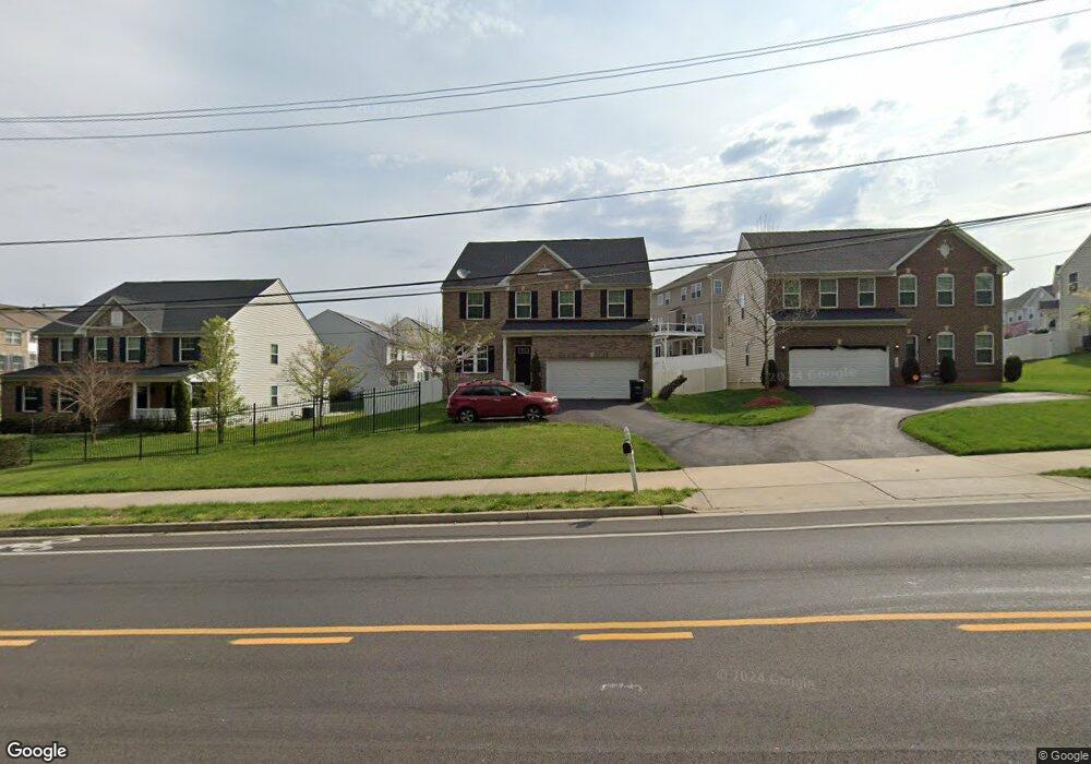
702 Rollins Ave Capitol Heights, MD 20743
Estimated Value: $544,824 - $680,000
Studio
1
Bath
2,708
Sq Ft
$225/Sq Ft
Est. Value
About This Home
This home is located at 702 Rollins Ave, Capitol Heights, MD 20743 and is currently estimated at $608,956, approximately $224 per square foot. 702 Rollins Ave is a home located in Prince George's County with nearby schools including Doswell E. Brooks Elementary, Walker Mill Middle School, and Central High School.
Ownership History
Date
Name
Owned For
Owner Type
Purchase Details
Closed on
Jan 26, 2016
Sold by
Nvr Inc
Bought by
Franklin Alver
Current Estimated Value
Home Financials for this Owner
Home Financials are based on the most recent Mortgage that was taken out on this home.
Original Mortgage
$414,975
Interest Rate
4.02%
Mortgage Type
New Conventional
Purchase Details
Closed on
Aug 24, 2015
Sold by
Beazer Homes Corp
Bought by
Nvr Inc
Create a Home Valuation Report for This Property
The Home Valuation Report is an in-depth analysis detailing your home's value as well as a comparison with similar homes in the area
Home Values in the Area
Average Home Value in this Area
Purchase History
| Date | Buyer | Sale Price | Title Company |
|---|---|---|---|
| Franklin Alver | $415,965 | Stewart Title Guaranty | |
| Nvr Inc | $102,000 | Attorney |
Source: Public Records
Mortgage History
| Date | Status | Borrower | Loan Amount |
|---|---|---|---|
| Previous Owner | Franklin Alver | $414,975 | |
| Previous Owner | Franklin Alver | $0 |
Source: Public Records
Tax History
| Year | Tax Paid | Tax Assessment Tax Assessment Total Assessment is a certain percentage of the fair market value that is determined by local assessors to be the total taxable value of land and additions on the property. | Land | Improvement |
|---|---|---|---|---|
| 2025 | $7,743 | $541,200 | -- | -- |
| 2024 | $7,743 | $494,200 | -- | -- |
| 2023 | $7,043 | $447,200 | $80,900 | $366,300 |
| 2022 | $6,977 | $442,733 | $0 | $0 |
| 2021 | $6,910 | $438,267 | $0 | $0 |
| 2020 | $6,844 | $433,800 | $50,400 | $383,400 |
| 2019 | $6,562 | $414,833 | $0 | $0 |
| 2018 | $6,280 | $395,867 | $0 | $0 |
| 2017 | $5,999 | $376,900 | $0 | $0 |
| 2016 | -- | $355,133 | $0 | $0 |
| 2015 | $127 | $8,800 | $0 | $0 |
| 2014 | $127 | $8,800 | $0 | $0 |
Source: Public Records
Map
Nearby Homes
- 6103 Westin Ct
- 607 Waveland Ave
- 6205 Palatine Ave
- 308 Zelma Ave
- 6106 Modupeola Way
- 1000 Fairford Way
- 209 Addison Rd S
- 5814 Folgate Ct
- 1101 Dutton Way
- 0 Rollins Ave Unit MDPG2158618
- 9 Whist Place
- 1112 Castlehaven Ct
- 5936 Applegarth Place
- 5625 Oakford Rd
- 17 Tunic Ave
- 20 Tunic Ave
- 5809 Burgundy St
- 1004 Veneer Ct
- 1100 Shumi Ct
- 5732 Bugler St
- 704 Rollins Ave
- 6101 Walbridge St
- 6100 Westin Ct
- 6105 Walbridge St
- 6105 Walbridge St Unit M
- 6105 Walbridge St Unit JF
- 6105 Walbridge St Unit J
- 6105 Walbridge St
- 706 Rollins Ave
- 706 Rollins Ave Unit BASEMENT
- 6102 Westin Ct
- 6111 Walbridge St
- 708 Rollins Ave
- 6101 Westin Ct
- 6117 Walbridge St
- 6104 Westin Ct
- 6100 Walbridge St
- 6102 Walbridge St
- 6104 Walbridge St
- 6106 Walbridge St
Your Personal Tour Guide
Ask me questions while you tour the home.