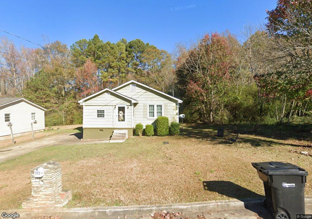
702 W 15th St West Point, GA 31833
Estimated Value: $84,561 - $204,000
3
Beds
1
Bath
1,221
Sq Ft
$100/Sq Ft
Est. Value
About This Home
This home is located at 702 W 15th St, West Point, GA 31833 and is currently estimated at $121,890, approximately $99 per square foot. 702 W 15th St is a home located in Troup County with nearby schools including West Point Elementary School, Long Cane Elementary School, and Whitesville Road Elementary School.
Ownership History
Date
Name
Owned For
Owner Type
Purchase Details
Closed on
Nov 11, 2003
Sold by
Chase Manhattan Bank
Bought by
Woody Jonathon T and Woody Tomecka
Current Estimated Value
Purchase Details
Closed on
Nov 5, 2002
Sold by
Mcqueen Steve
Bought by
Chase Manhattan Bank
Purchase Details
Closed on
Dec 24, 1997
Sold by
Tammie C Jacks
Bought by
Mcqueen Steve
Purchase Details
Closed on
Nov 4, 1996
Sold by
Johnathan Clark
Bought by
Tammie C Jacks
Purchase Details
Closed on
Jun 26, 1996
Sold by
First National Bank Of Chicago
Bought by
Johnathan Clark
Purchase Details
Closed on
Jun 25, 1996
Sold by
Clarice Reid
Bought by
First National Bank Of Chicago
Purchase Details
Closed on
Mar 5, 1996
Sold by
Clarice Reid By Atty
Bought by
Clarice Reid
Purchase Details
Closed on
Oct 24, 1983
Sold by
City Of W P
Bought by
Clarice Reid By Atty
Create a Home Valuation Report for This Property
The Home Valuation Report is an in-depth analysis detailing your home's value as well as a comparison with similar homes in the area
Home Values in the Area
Average Home Value in this Area
Purchase History
| Date | Buyer | Sale Price | Title Company |
|---|---|---|---|
| Woody Jonathon T | $13,000 | -- | |
| Chase Manhattan Bank | $29,700 | -- | |
| Mcqueen Steve | $53,000 | -- | |
| Tammie C Jacks | $35,000 | -- | |
| Johnathan Clark | $20,000 | -- | |
| First National Bank Of Chicago | -- | -- | |
| Clarice Reid | $21,600 | -- | |
| Clarice Reid By Atty | $23,500 | -- |
Source: Public Records
Tax History
| Year | Tax Paid | Tax Assessment Tax Assessment Total Assessment is a certain percentage of the fair market value that is determined by local assessors to be the total taxable value of land and additions on the property. | Land | Improvement |
|---|---|---|---|---|
| 2025 | $990 | $28,360 | $1,400 | $26,960 |
| 2024 | $751 | $21,240 | $1,400 | $19,840 |
| 2023 | $799 | $22,440 | $1,400 | $21,040 |
| 2022 | $592 | $21,200 | $1,400 | $19,800 |
| 2021 | $471 | $15,600 | $1,800 | $13,800 |
| 2020 | $470 | $15,600 | $1,800 | $13,800 |
| 2019 | $443 | $14,680 | $1,800 | $12,880 |
| 2018 | $452 | $15,000 | $1,800 | $13,200 |
| 2017 | $452 | $15,000 | $1,800 | $13,200 |
| 2016 | $447 | $14,804 | $1,800 | $13,004 |
| 2015 | $447 | $14,804 | $1,800 | $13,004 |
| 2014 | $427 | $14,119 | $1,800 | $12,319 |
| 2013 | -- | $15,229 | $1,800 | $13,429 |
Source: Public Records
Map
Nearby Homes
- 1007 4th Ave
- 1508 N 4th Ave
- 403 N 15th St
- 712 4th Ave
- 1026 N 6th Ave
- 1903 Ridgewood Dr
- 1604 U S 29
- 811 Cherry Dr
- 1805 US Highway 29
- 1202 E 9th St
- 514 N 8th Ave
- 302 N 6th Ave
- 900 E 9th St
- 506 E 6th St
- 707 E 7th St
- 508 Pine St
- 0 Ga Highway 0116 Unit 10619139
- 1508 N 15th Dr
- 1104 E 8th St
- 0 Arrowhead Dr Unit 10451860
Your Personal Tour Guide
Ask me questions while you tour the home.