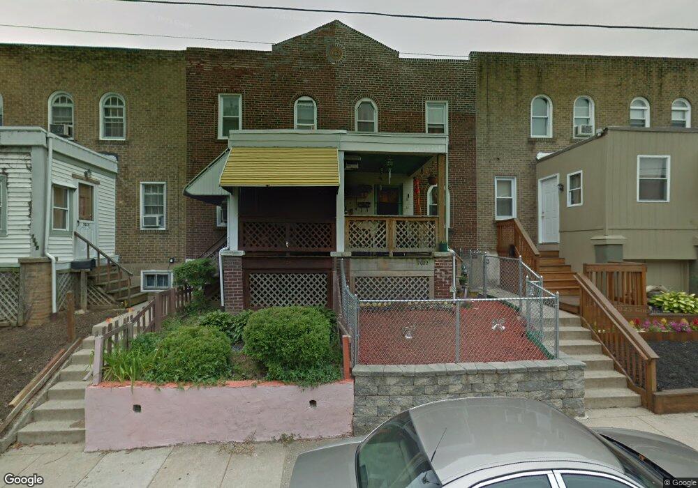
7020 Clinton Rd Upper Darby, PA 19082
Estimated Value: $62,000 - $150,342
About This Home
This home is located at 7020 Clinton Rd, Upper Darby, PA 19082 and is currently estimated at $104,836, approximately $83 per square foot. 7020 Clinton Rd is a home located in Delaware County with nearby schools including Upper Darby Kdg Center, Upper Darby High School, and Lansdowne Friends School.
Ownership History
We collect this data history from publicly available records. To have your information removed, we recommend requesting removal directly through your county’s website.
Purchase Details
Purchase Details
Purchase Details
Purchase Details
Purchase Details
Purchase Details
Home Financials for this Owner
Home Financials are based on the most recent Mortgage that was taken out on this home.Home Values in the Area
Average Home Value in this Area
Purchase History
We collect this data history from publicly available records. To have your information removed, we recommend requesting removal directly through your county’s website.
| Date | Buyer | Sale Price | Title Company |
|---|---|---|---|
| $90,000 | Innovative Closing Solutions | ||
| $28,000 | None Listed On Document | ||
| $28,000 | None Listed On Document | ||
| $28,000 | None Listed On Document | ||
| $15,000 | None Listed On Document | ||
| $5,000 | Mba Abstract Inc | ||
| $53,000 | T A Title Insurance Company |
Mortgage History
We collect this data history from publicly available records. To have your information removed, we recommend requesting removal directly through your county’s website.
| Date | Status | Borrower | Loan Amount |
|---|---|---|---|
| Previous Owner | $53,000 |
Tax History
We collect this data history from publicly available records. To have your information removed, we recommend requesting removal directly through your county’s website.
| Year | Tax Paid | Tax Assessment Tax Assessment Total Assessment is a certain percentage of the fair market value that is determined by local assessors to be the total taxable value of land and additions on the property. | Land | Improvement |
|---|---|---|---|---|
| 2026 | $2,758 | $62,090 | $13,600 | $48,490 |
| 2025 | $2,626 | $62,090 | $13,600 | $48,490 |
| 2024 | $2,626 | $62,090 | $13,600 | $48,490 |
| 2023 | $2,601 | $62,090 | $13,600 | $48,490 |
| 2022 | $2,531 | $62,090 | $13,600 | $48,490 |
| 2021 | $3,413 | $62,090 | $13,600 | $48,490 |
| 2020 | $2,346 | $36,270 | $12,360 | $23,910 |
| 2019 | $2,305 | $36,270 | $12,360 | $23,910 |
| 2018 | $2,278 | $36,270 | $0 | $0 |
| 2017 | $2,219 | $36,270 | $0 | $0 |
| 2016 | $199 | $36,270 | $0 | $0 |
| 2015 | $199 | $36,270 | $0 | $0 |
| 2014 | $199 | $36,270 | $0 | $0 |
Map
- 7121 Radbourne Rd
- 7153 Radbourne Rd
- 6997 Guilford Rd
- 7108 Clover Ln
- 7160 Clover Ln
- 7046 Clover Ln
- 7023 Clover Ln
- 585 Snowden Rd
- 613 Copley Rd
- 7123 Seaford Rd
- 246 Wiltshire Rd
- 7000 Greenwood Ave
- 501 Millbank Rd
- 510 Millbank Rd
- 535 Wiltshire Rd
- 7231 Clinton Rd
- 7143 Guilford Rd
- 7027 Emerson Ave
- 526 S 69th St
- 7117 Atlantic Ave
- 7026 Clinton Rd
- 7028 Clinton Rd
- 7024 Clinton Rd
- 7030 Clinton Rd
- 7022 Clinton Rd
- 7038 Clinton Rd
- 7032 Clinton Rd
- 7018 Clinton Rd
- 7016 Clinton Rd
- 7034 Clinton Rd
- 7014 Clinton Rd
- 7036 Clinton Rd
- 7002 Clinton Rd
- 7000 Clinton Rd
- 7117 Radbourne Rd
- 7119 Radbourne Rd
- 7115 Radbourne Rd
- 7062 Clinton Rd
- 7113 Radbourne Rd
- 7123 Radbourne Rd
Ask me questions while you tour the home.