7025 Ridpath Rd Grove City, OH 43123
Estimated Value: $306,000 - $457,847
3
Beds
2
Baths
1,857
Sq Ft
$213/Sq Ft
Est. Value
About This Home
This home is located at 7025 Ridpath Rd, Grove City, OH 43123 and is currently estimated at $395,462, approximately $212 per square foot. 7025 Ridpath Rd is a home located in Franklin County with nearby schools including Hayes Intermediate School, Darbydale Elementary School, and Jackson Middle School.
Ownership History
Date
Name
Owned For
Owner Type
Purchase Details
Closed on
Apr 16, 2015
Sold by
Corwin P Stephen and Corwin Eileen M
Bought by
Corwin P Stephen and Corwin Eileen M
Current Estimated Value
Purchase Details
Closed on
May 20, 1999
Sold by
Corwin P Stephen and Corwin Eileen M
Bought by
Corwin Kenneth S and Corwin Clara S
Purchase Details
Closed on
Oct 9, 1980
Bought by
Corwin P Stephen
Create a Home Valuation Report for This Property
The Home Valuation Report is an in-depth analysis detailing your home's value as well as a comparison with similar homes in the area
Home Values in the Area
Average Home Value in this Area
Purchase History
| Date | Buyer | Sale Price | Title Company |
|---|---|---|---|
| Corwin P Stephen | -- | None Available | |
| Corwin Kenneth S | -- | -- | |
| Corwin P Stephen | $17,900 | -- |
Source: Public Records
Tax History
| Year | Tax Paid | Tax Assessment Tax Assessment Total Assessment is a certain percentage of the fair market value that is determined by local assessors to be the total taxable value of land and additions on the property. | Land | Improvement |
|---|---|---|---|---|
| 2025 | $5,691 | $133,210 | $53,900 | $79,310 |
| 2024 | $5,691 | $133,210 | $53,900 | $79,310 |
| 2023 | $5,605 | $133,210 | $53,900 | $79,310 |
| 2022 | $5,708 | $97,940 | $37,910 | $60,030 |
| 2021 | $5,823 | $97,940 | $37,910 | $60,030 |
| 2020 | $5,804 | $97,940 | $37,910 | $60,030 |
| 2019 | $5,238 | $81,660 | $31,610 | $50,050 |
| 2018 | $5,125 | $81,660 | $31,610 | $50,050 |
| 2017 | $5,114 | $81,660 | $31,610 | $50,050 |
| 2016 | $5,029 | $71,860 | $27,270 | $44,590 |
| 2015 | $5,031 | $71,860 | $27,270 | $44,590 |
| 2014 | $5,035 | $71,860 | $27,270 | $44,590 |
| 2013 | -- | $71,855 | $27,265 | $44,590 |
Source: Public Records
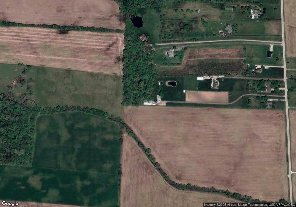
Map
Nearby Homes
- 9148 Matville Rd
- 9661 Welch Rd
- 6210 Seeds Rd
- 0 Burgett Rd
- 201 Rosewood Loop SW
- 190 Rosewood Loop SW
- 161 Rosewood Loop SE
- 159 Chestnut Commons Dr
- 4617 Zuber Rd
- 2392 London Groveport Rd
- 2609 Landings Way Unit 29-D
- 2601 Landings Way
- 1800 Lynnbrook Ct
- 2460 Buckeye Grove Blvd
- 2513 Landings Way Unit 26
- 1812 Zuber Rd
- 1736 Harvey Ln
- 161 Chestnut Estates Dr
- 1490 Hiner Rd
- 182 Honey Locust Ln
- 6957 Ridpath Rd
- 7003 Ridpath Rd
- 6949 Ridpath Rd
- 6931 Ridpath Rd
- 7013 Ridpath Rd
- 7039 Ridpath Rd
- 6993 Ridpath Rd
- 6969 Ridpath Rd
- 6913 Ridpath Rd
- 6986 Ridpath Rd
- 6891 Ridpath Rd
- 6815 Ridpath Rd
- 6863 Ridpath Rd
- 6835 Ridpath Rd
- 7030 Ridpath Rd
- 6974 Ridpath Rd
- 6858 Ridpath Rd
- 6858 Ridpath Rd
- 6805 Ridpath Rd
- 6836 Ridpath Rd
Your Personal Tour Guide
Ask me questions while you tour the home.