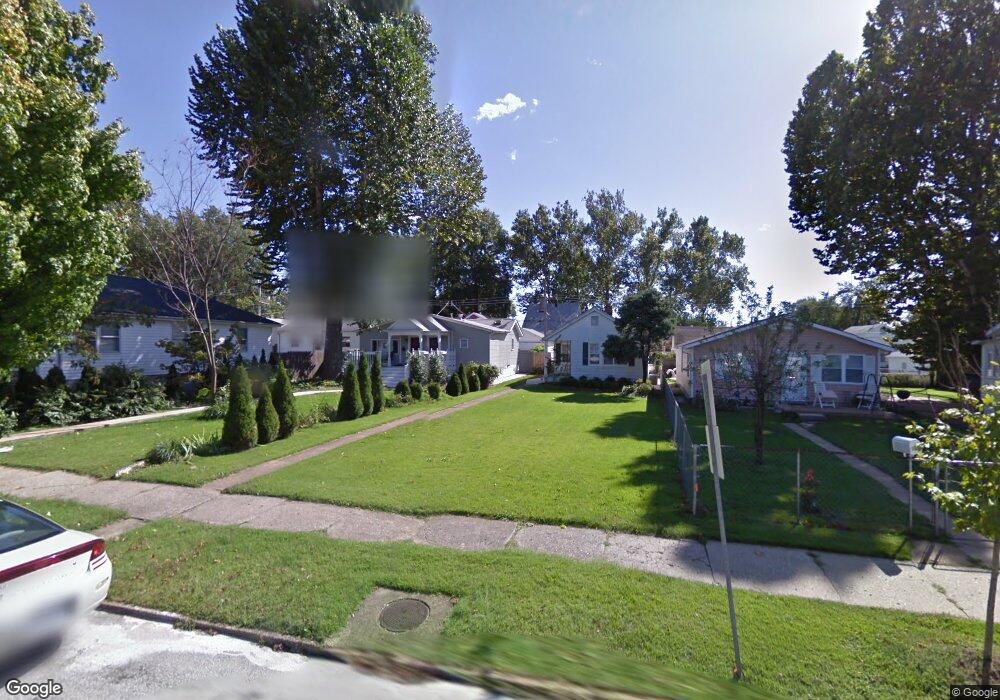
7026 Bancroft Ave Saint Louis, MO 63109
Lindenwood Park NeighborhoodEstimated Value: $143,221 - $208,000
About This Home
This home is located at 7026 Bancroft Ave, Saint Louis, MO 63109 and is currently estimated at $183,305, approximately $110 per square foot. 7026 Bancroft Ave is a home located in St. Louis City with nearby schools including Mason Elementary School, Long International Middle School, and Roosevelt High School.
Ownership History
We collect this data history from publicly available records. To have your information removed, we recommend requesting removal directly through your county’s website.
Purchase Details
Purchase Details
Home Financials for this Owner
Home Financials are based on the most recent Mortgage that was taken out on this home.Home Values in the Area
Average Home Value in this Area
Purchase History
We collect this data history from publicly available records. To have your information removed, we recommend requesting removal directly through your county’s website.
| Date | Buyer | Sale Price | Title Company |
|---|---|---|---|
| -- | None Available | ||
| -- | Ort |
Mortgage History
We collect this data history from publicly available records. To have your information removed, we recommend requesting removal directly through your county’s website.
| Date | Status | Borrower | Loan Amount |
|---|---|---|---|
| Previous Owner | $65,000 |
Tax History
We collect this data history from publicly available records. To have your information removed, we recommend requesting removal directly through your county’s website.
| Year | Tax Paid | Tax Assessment Tax Assessment Total Assessment is a certain percentage of the fair market value that is determined by local assessors to be the total taxable value of land and additions on the property. | Land | Improvement |
|---|---|---|---|---|
| 2025 | $1,478 | $20,390 | $2,000 | $18,390 |
| 2024 | $1,345 | $17,320 | $2,000 | $15,320 |
| 2023 | $1,345 | $17,320 | $2,000 | $15,320 |
| 2022 | $1,345 | $15,930 | $2,000 | $13,930 |
| 2021 | $1,343 | $15,930 | $2,000 | $13,930 |
| 2020 | $1,220 | $14,550 | $2,000 | $12,550 |
| 2019 | $1,216 | $14,560 | $2,000 | $12,560 |
| 2018 | $1,061 | $12,270 | $1,820 | $10,450 |
| 2017 | $1,043 | $12,270 | $1,820 | $10,450 |
| 2016 | $1,003 | $11,630 | $1,820 | $9,800 |
| 2015 | $911 | $11,620 | $1,820 | $9,800 |
| 2014 | $893 | $11,620 | $1,820 | $9,800 |
| 2013 | -- | $11,400 | $1,820 | $9,580 |
Map
- 6963 Sutherland Ave
- 7075 Lansdowne Ave
- 4313 Jamieson Ave
- 7078 Lindenwood Place
- 6963 Chippewa St
- 7068 Tholozan Ave
- 7038 Pernod Ave
- 6663 Devonshire Ave
- 6627 Winona Ave
- 6635 Devonshire Ave
- 6935 Pernod Ave
- 7056 Oleatha Ave
- 6614 Devonshire Ave
- 6600 Devonshire Ave Unit 9
- 6633 Tholozan Ave
- 6531 Bancroft Ave
- 6718 Oleatha Ave
- 7309 Nottingham Ave
- 6969 Marquette Ave
- 6555 Mardel Ave
- 7005 Sutherland Ave
- 7011 Sutherland Ave
- 7013 Sutherland Ave
- 7015 Sutherland Ave
- 4320 Mccausland Ave
- 7001 Sutherland Ave
- 7017 Sutherland Ave
- 7004 Bancroft Ave
- 7008 Bancroft Ave
- 7002 Bancroft Ave
- 7012 Bancroft Ave
- 6975 Sutherland Ave
- 7025 Sutherland Ave
- 7016 Bancroft Ave
- 7004 Sutherland Ave
- 7000 Sutherland Ave
- 7008 Sutherland Ave
- 4304 Mccausland Ave
- 7020 Bancroft Ave
- 7012 Sutherland Ave
Ask me questions while you tour the home.