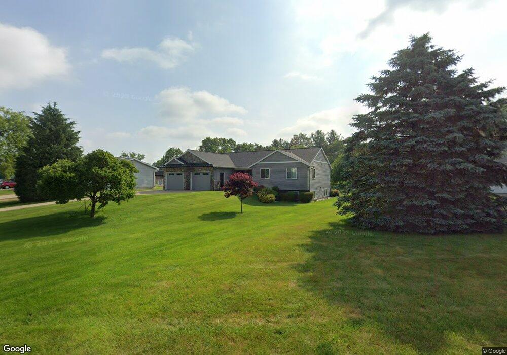
703 Barton St Otsego, MI 49078
Estimated Value: $331,315 - $355,000
About This Home
This home is located at 703 Barton St, Otsego, MI 49078 and is currently estimated at $339,829, approximately $241 per square foot. 703 Barton St is a home located in Allegan County with nearby schools including Otsego High School, Otsego Christian Academy, and St. Margaret School.
Ownership History
We collect this data history from publicly available records. To have your information removed, we recommend requesting removal directly through your county’s website.
Purchase Details
Purchase Details
Purchase Details
Purchase Details
Home Values in the Area
Average Home Value in this Area
Purchase History
We collect this data history from publicly available records. To have your information removed, we recommend requesting removal directly through your county’s website.
| Date | Buyer | Sale Price | Title Company |
|---|---|---|---|
| -- | None Listed On Document | ||
| $173,270 | Devon Title Agency | ||
| $132,900 | -- | ||
| $20,100 | -- |
Tax History
We collect this data history from publicly available records. To have your information removed, we recommend requesting removal directly through your county’s website.
| Year | Tax Paid | Tax Assessment Tax Assessment Total Assessment is a certain percentage of the fair market value that is determined by local assessors to be the total taxable value of land and additions on the property. | Land | Improvement |
|---|---|---|---|---|
| 2025 | $4,198 | $157,800 | $17,500 | $140,300 |
| 2024 | $3,594 | $149,500 | $12,500 | $137,000 |
| 2023 | $4,003 | $133,300 | $10,000 | $123,300 |
| 2022 | $3,594 | $124,600 | $10,000 | $114,600 |
| 2021 | $3,581 | $117,300 | $10,000 | $107,300 |
| 2020 | $3,529 | $116,300 | $10,000 | $106,300 |
| 2019 | $3,434 | $106,100 | $10,000 | $96,100 |
| 2018 | $3,350 | $101,000 | $10,000 | $91,000 |
| 2017 | $0 | $97,500 | $8,000 | $89,500 |
| 2016 | $0 | $86,800 | $7,700 | $79,100 |
| 2015 | -- | $86,800 | $7,700 | $79,100 |
| 2014 | $2,916 | $79,000 | $15,000 | $64,000 |
| 2013 | $2,916 | $74,400 | $14,200 | $60,200 |
Map
- 1362 Michigan Unit 89-183
- 224 Charles St
- 611 S Farmer St
- 513 S Farmer St
- 212 E Allegan St
- 216 N Wilmott St
- 1607 Elm St
- 1431 Michigan 89
- 120 N Farmer St
- 218 Kalamazoo St
- 1239 103rd Ave
- 612 Conference St
- 1206 Carl Ct
- 210 W River St
- 1644 Aspen Trail
- 1648 Aspen Trail
- 355 12th St
- 1255 106th Ave
- 1660 Aspen Trail
- 1667 Aspen Trail
Ask me questions while you tour the home.