70416 Wolcott Rd Armada, MI 48005
Estimated Value: $425,000 - $632,000
3
Beds
4
Baths
3,436
Sq Ft
$150/Sq Ft
Est. Value
About This Home
This home is located at 70416 Wolcott Rd, Armada, MI 48005 and is currently estimated at $516,674, approximately $150 per square foot. 70416 Wolcott Rd is a home located in Macomb County with nearby schools including Orville C. Krause Elementary School, Armada Middle School, and Armada High School.
Ownership History
Date
Name
Owned For
Owner Type
Purchase Details
Closed on
Oct 23, 2018
Sold by
Perkins Ralph
Bought by
Petack Larry G and Petack Kelley L
Current Estimated Value
Home Financials for this Owner
Home Financials are based on the most recent Mortgage that was taken out on this home.
Original Mortgage
$245,000
Outstanding Balance
$214,109
Interest Rate
4.6%
Mortgage Type
New Conventional
Estimated Equity
$302,565
Create a Home Valuation Report for This Property
The Home Valuation Report is an in-depth analysis detailing your home's value as well as a comparison with similar homes in the area
Home Values in the Area
Average Home Value in this Area
Purchase History
| Date | Buyer | Sale Price | Title Company |
|---|---|---|---|
| Petack Larry G | $263,714 | Troy Abstract & Title Agency |
Source: Public Records
Mortgage History
| Date | Status | Borrower | Loan Amount |
|---|---|---|---|
| Open | Petack Larry G | $245,000 |
Source: Public Records
Tax History
| Year | Tax Paid | Tax Assessment Tax Assessment Total Assessment is a certain percentage of the fair market value that is determined by local assessors to be the total taxable value of land and additions on the property. | Land | Improvement |
|---|---|---|---|---|
| 2025 | $3,273 | $260,900 | $0 | $0 |
| 2024 | $32 | $254,400 | $0 | $0 |
| 2023 | $3,017 | $222,600 | $0 | $0 |
| 2022 | $4,568 | $201,100 | $0 | $0 |
| 2021 | $4,442 | $192,300 | $0 | $0 |
| 2020 | $2,774 | $186,800 | $0 | $0 |
| 2019 | $3,940 | $170,000 | $0 | $0 |
| 2018 | $3,858 | $158,400 | $0 | $0 |
| 2017 | $3,562 | $148,800 | $20,500 | $128,300 |
| 2016 | $3,536 | $148,800 | $0 | $0 |
| 2015 | -- | $133,600 | $0 | $0 |
| 2011 | -- | $117,817 | $18,990 | $98,827 |
Source: Public Records
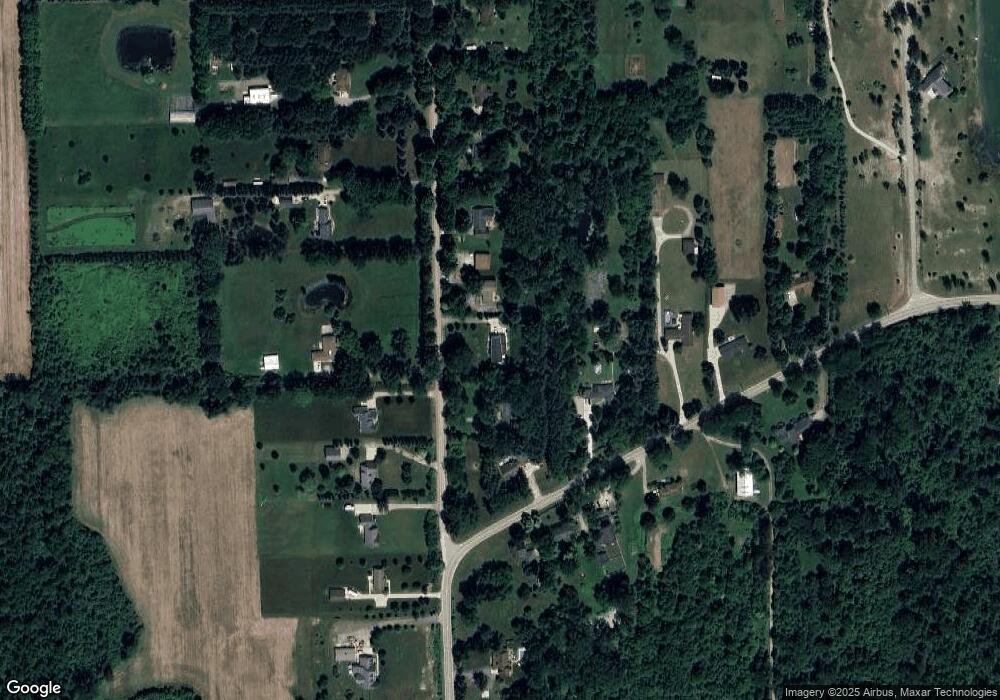
Map
Nearby Homes
- 00 Armada Ridge Rd
- 17492 Gilmore Rd
- 00000 32 Mile Rd
- 69455 Hicks Rd
- 20144 32 Mile Rd
- Lot 2 33 Mile Rd
- 0 Capac Rd Unit G50063654
- 0 32 Mile Rd Unit 50104250
- 73213 Coon Creek Rd
- 71649 Hidden River Dr
- 71714 Hidden River Dr
- 71608 Hidden River Dr
- 71712 Hidden River Dr
- 0 31 Mile Rd Unit 50156618
- 21572 34 Mile Rd
- 0 Romeo Plank Rd Unit 50180632
- 65884 Windrose Ct Unit 6
- 00 33 Mile Rd
- 67800 Powell Rd Unit 67990 Powell
- 21901 31 Mile Rd
- 70278 Wolcott Rd
- 18875 Armada Ridge Rd
- 18775 Armada Ridge Rd
- 70526 Wolcott Rd
- 18770 Armada Ridge Rd
- 70313 Wolcott Rd
- 18975 Armada Ridge Rd
- 70257 Wolcott Rd
- 70598 Wolcott Rd
- 19005 Armada Ridge Rd
- 18820 Armada Ridge Rd
- 70401 Wolcott Rd
- 70199 Wolcott Rd
- 70704 Wolcott Rd
- 70505 Wolcott Rd
- 70581 Wolcott Rd
- 18900 Armada Ridge Rd
- 19050 Armada Ridge Rd
- 70700 Wolcott Rd
- 19065 Armada Ridge Rd
Your Personal Tour Guide
Ask me questions while you tour the home.