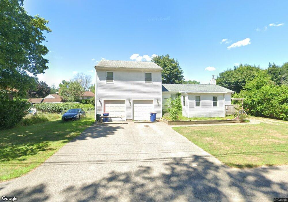
705 Arcade Ave Seekonk, MA 02771
Estimated Value: $429,000 - $617,000
2
Beds
1
Bath
1,348
Sq Ft
$376/Sq Ft
Est. Value
About This Home
This home is located at 705 Arcade Ave, Seekonk, MA 02771 and is currently estimated at $507,038, approximately $376 per square foot. 705 Arcade Ave is a home located in Bristol County with nearby schools including Seekonk High School, St Margaret School, and The Wolf School.
Ownership History
Date
Name
Owned For
Owner Type
Purchase Details
Closed on
Sep 8, 2005
Sold by
Jodat Nancy L
Bought by
Nault Kerry A and Nault Gerard
Current Estimated Value
Home Financials for this Owner
Home Financials are based on the most recent Mortgage that was taken out on this home.
Original Mortgage
$188,000
Outstanding Balance
$100,201
Interest Rate
5.79%
Mortgage Type
Purchase Money Mortgage
Estimated Equity
$406,837
Create a Home Valuation Report for This Property
The Home Valuation Report is an in-depth analysis detailing your home's value as well as a comparison with similar homes in the area
Home Values in the Area
Average Home Value in this Area
Purchase History
| Date | Buyer | Sale Price | Title Company |
|---|---|---|---|
| Nault Kerry A | $235,000 | -- |
Source: Public Records
Mortgage History
| Date | Status | Borrower | Loan Amount |
|---|---|---|---|
| Open | Nault Kerry A | $188,000 |
Source: Public Records
Tax History
| Year | Tax Paid | Tax Assessment Tax Assessment Total Assessment is a certain percentage of the fair market value that is determined by local assessors to be the total taxable value of land and additions on the property. | Land | Improvement |
|---|---|---|---|---|
| 2025 | $5,009 | $405,600 | $113,900 | $291,700 |
| 2024 | $4,772 | $386,400 | $113,900 | $272,500 |
| 2023 | $4,503 | $343,500 | $92,500 | $251,000 |
| 2022 | $4,067 | $302,800 | $89,000 | $213,800 |
| 2021 | $4,067 | $299,700 | $89,000 | $210,700 |
| 2020 | $4,145 | $314,700 | $88,900 | $225,800 |
| 2019 | $3,999 | $306,200 | $88,900 | $217,300 |
| 2018 | $3,838 | $287,500 | $83,900 | $203,600 |
| 2017 | $3,712 | $275,800 | $82,000 | $193,800 |
| 2016 | $3,668 | $273,500 | $82,000 | $191,500 |
| 2015 | $3,551 | $268,400 | $82,000 | $186,400 |
Source: Public Records
Map
Nearby Homes
- 702 Arcade Ave
- 296 Fall River Ave
- 0 Milton St Unit 72633661
- 267 Chestnut St
- 42 Taunton Ave
- 44 Hope St
- 5 Luther Ave
- 8 Agawam Ct
- 9 Tammy Jean Dr
- 23 Morra Way
- 454 Fall River Ave
- 57 Mohawk Dr
- 0 Sagamore Rd
- 0 Arcade Ave Unit 73446971
- 14 Field St
- 30 Dover Ave
- 58 Swan St
- 155 Sagamore Rd
- 56 Irving Ave
- 100 Bradley St
- 703 Arcade Ave
- 162 Brook Hill Dr
- 717 Arcade Ave
- 695 Arcade Ave
- 150 Brookhill Dr
- 150 Brook Hill Dr
- 698 Arcade Ave
- 305 Pleasant St
- 690 Arcade Ave
- 159 Brook Hill Dr
- 171 Brook Hill Dr
- 685 Arcade Ave
- 722 Arcade Ave
- 147 Brook Hill Dr
- 680 Arcade Ave
- 732 Arcade Ave
- 138 Brook Hill Dr
- 138 Brookhill Dr
- 297 Pleasant St
- 750 Arcade Ave
Your Personal Tour Guide
Ask me questions while you tour the home.