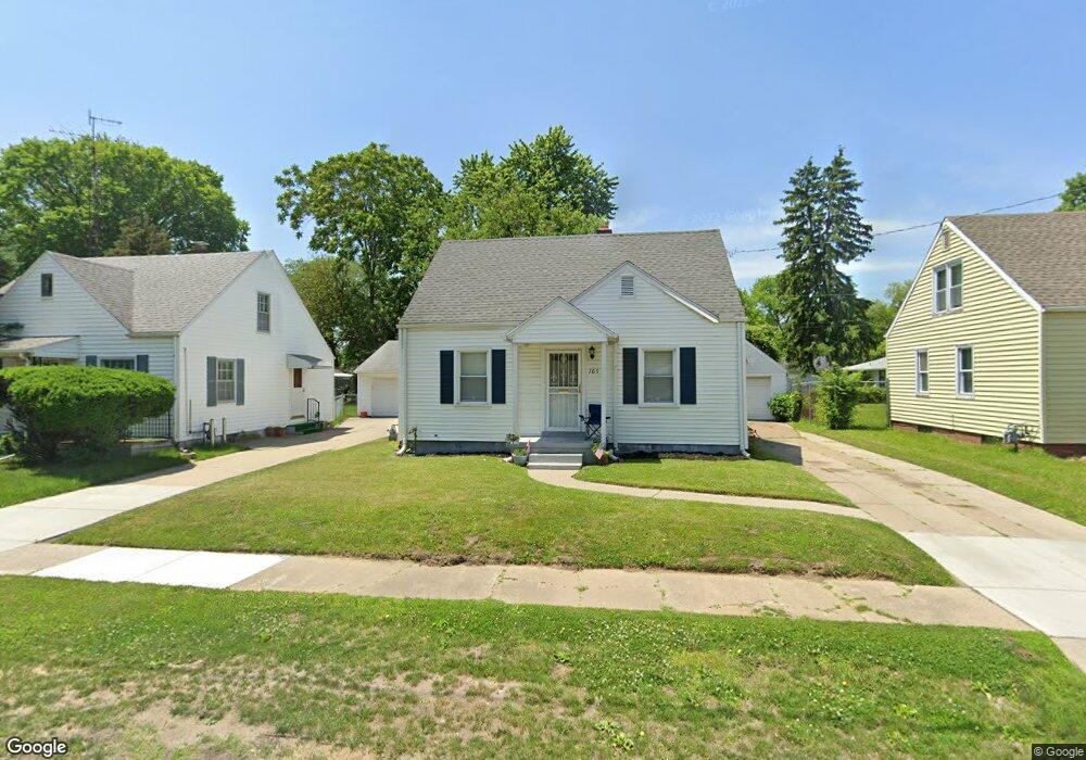
705 Broer Ave Toledo, OH 43607
Scott Park NeighborhoodEstimated Value: $74,000 - $98,000
About This Home
This home is located at 705 Broer Ave, Toledo, OH 43607 and is currently estimated at $81,710, approximately $113 per square foot. 705 Broer Ave is a home located in Lucas County with nearby schools including Keyser Elementary School, Rogers High School, and Victory Academy of Toledo.
Ownership History
We collect this data history from publicly available records. To have your information removed, we recommend requesting removal directly through your county’s website.
Purchase Details
Purchase Details
Purchase Details
Purchase Details
Home Values in the Area
Average Home Value in this Area
Purchase History
We collect this data history from publicly available records. To have your information removed, we recommend requesting removal directly through your county’s website.
| Date | Buyer | Sale Price | Title Company |
|---|---|---|---|
| $55,000 | Louisville Ttl Agcy For N W | ||
| -- | -- | ||
| -- | None Available | ||
| -- | None Available |
Tax History
We collect this data history from publicly available records. To have your information removed, we recommend requesting removal directly through your county’s website.
| Year | Tax Paid | Tax Assessment Tax Assessment Total Assessment is a certain percentage of the fair market value that is determined by local assessors to be the total taxable value of land and additions on the property. | Land | Improvement |
|---|---|---|---|---|
| 2025 | -- | $20,020 | $5,600 | $14,420 |
| 2024 | $719 | $20,020 | $5,600 | $14,420 |
| 2023 | $1,172 | $16,065 | $3,395 | $12,670 |
| 2022 | $1,152 | $16,065 | $3,395 | $12,670 |
| 2021 | $1,191 | $16,065 | $3,395 | $12,670 |
| 2020 | $1,261 | $14,945 | $3,115 | $11,830 |
| 2019 | $1,223 | $14,945 | $3,115 | $11,830 |
| 2018 | $922 | $14,945 | $3,115 | $11,830 |
| 2017 | $1,226 | $14,595 | $3,045 | $11,550 |
| 2016 | $1,212 | $41,700 | $8,700 | $33,000 |
| 2015 | $624 | $41,700 | $8,700 | $33,000 |
| 2014 | $368 | $14,600 | $3,050 | $11,550 |
| 2013 | $368 | $14,600 | $3,050 | $11,550 |
Map
- 919 Turner Ave
- 1002 Elysian Ave
- 724 Searles Rd
- 933 Searles Rd
- 629 Cuthbert Rd
- 736 N Byrne Rd
- 345 Kopernik Ave
- 3555 Victory Ave
- 3554 Whitegate Dr
- 1001 Greenhills Rd
- 1514 Marthal Rd
- 1011 Greenhills Rd
- 2262 Westmonte Rd
- 913 Coventry Ave
- 1118 Alldays Ave
- 1706 Perth St
- 3743 Inverness Ave
- 3155 Kylemore Rd
- 822 Burke Glen Rd
- 2019 Kensington Rd
Ask me questions while you tour the home.