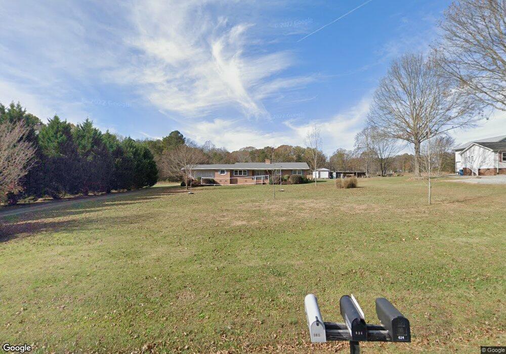
705 Cessna Rd Concord, NC 28027
Estimated Value: $327,000 - $356,000
3
Beds
2
Baths
1,733
Sq Ft
$199/Sq Ft
Est. Value
About This Home
This home is located at 705 Cessna Rd, Concord, NC 28027 and is currently estimated at $345,684, approximately $199 per square foot. 705 Cessna Rd is a home located in Cabarrus County with nearby schools including Charles E. Boger Elementary School, Northwest Cabarrus Middle School, and Northwest Cabarrus High.
Ownership History
Date
Name
Owned For
Owner Type
Purchase Details
Closed on
Mar 20, 2006
Sold by
Bridgman Robert L and Bridgman Delores F
Bought by
Richter Brett Daniel and Richter Amy E
Current Estimated Value
Home Financials for this Owner
Home Financials are based on the most recent Mortgage that was taken out on this home.
Original Mortgage
$116,000
Outstanding Balance
$65,636
Interest Rate
6.19%
Mortgage Type
New Conventional
Estimated Equity
$280,048
Purchase Details
Closed on
Apr 2, 2005
Sold by
Bridgman Robert L
Bought by
Bridgman Robert L and Bridgman Delores F
Create a Home Valuation Report for This Property
The Home Valuation Report is an in-depth analysis detailing your home's value as well as a comparison with similar homes in the area
Home Values in the Area
Average Home Value in this Area
Purchase History
| Date | Buyer | Sale Price | Title Company |
|---|---|---|---|
| Richter Brett Daniel | $145,000 | None Available | |
| Bridgman Robert L | -- | -- |
Source: Public Records
Mortgage History
| Date | Status | Borrower | Loan Amount |
|---|---|---|---|
| Open | Richter Brett Daniel | $116,000 |
Source: Public Records
Tax History
| Year | Tax Paid | Tax Assessment Tax Assessment Total Assessment is a certain percentage of the fair market value that is determined by local assessors to be the total taxable value of land and additions on the property. | Land | Improvement |
|---|---|---|---|---|
| 2025 | $1,586 | $249,720 | $94,660 | $155,060 |
| 2024 | $1,586 | $249,720 | $94,660 | $155,060 |
| 2023 | $1,364 | $171,660 | $75,170 | $96,490 |
| 2022 | $1,364 | $168,780 | $75,170 | $93,610 |
| 2021 | $1,364 | $168,780 | $75,170 | $93,610 |
| 2020 | $1,364 | $168,780 | $75,170 | $93,610 |
| 2019 | $1,195 | $147,860 | $64,030 | $83,830 |
| 2018 | $1,165 | $147,860 | $64,030 | $83,830 |
| 2017 | $1,136 | $147,860 | $64,030 | $83,830 |
| 2016 | $1,136 | $140,550 | $61,250 | $79,300 |
| 2015 | $1,065 | $140,550 | $61,250 | $79,300 |
| 2014 | $1,065 | $140,550 | $61,250 | $79,300 |
Source: Public Records
Map
Nearby Homes
- 7467 Untz Rd
- 179 Odell School Rd
- 488 Creevy Dr NW
- 8100 Chatham Oaks Dr
- 1504 La Forest Ln
- 7335 Davidson Hwy
- 8310 Ashvale St NW
- 6762 Davidson Hwy
- 6755 Davidson Hwy
- 586 Nutgrove Dr NW
- 590 Nutgrove Dr NW
- 8353 Ashvale St NW
- 8356 Ashvale St NW
- 8375 Ashvale St NW
- 8360 Ashvale St NW
- 8364 Ashvale St NW
- 608 Nutgrove Dr NW
- 8374 Knockany Rd NW
- 612 Nutgrove Dr NW
- 606 Downshire Rd NW
Your Personal Tour Guide
Ask me questions while you tour the home.