705 Howell Rd Allenton, MI 48002
Estimated Value: $82,000 - $98,000
Studio
--
Bath
--
Sq Ft
217,800
Sq Ft Lot
About This Home
This home is located at 705 Howell Rd, Allenton, MI 48002 and is currently estimated at $90,000. 705 Howell Rd is a home located in St. Clair County with nearby schools including Orchard Primary School, Almont Middle School, and Almont High School.
Ownership History
Date
Name
Owned For
Owner Type
Purchase Details
Closed on
Apr 8, 2025
Sold by
Tesluk Victor J and Forro Terry S
Bought by
Forro Michael S and Tesluk Victor J
Current Estimated Value
Purchase Details
Closed on
Oct 2, 2006
Sold by
Oskorus Jack and Oskorus Genevieve
Bought by
Forro Terry and Tesluck Victor J
Home Financials for this Owner
Home Financials are based on the most recent Mortgage that was taken out on this home.
Original Mortgage
$50,000
Interest Rate
6.5%
Mortgage Type
Purchase Money Mortgage
Purchase Details
Closed on
Mar 14, 2006
Sold by
Tesluk Victor J
Bought by
Forro Terry and Tesluk Victor J
Create a Home Valuation Report for This Property
The Home Valuation Report is an in-depth analysis detailing your home's value as well as a comparison with similar homes in the area
Home Values in the Area
Average Home Value in this Area
Purchase History
| Date | Buyer | Sale Price | Title Company |
|---|---|---|---|
| Forro Michael S | -- | None Listed On Document | |
| Forro Terry | -- | None Available | |
| Forro Terry | -- | None Available |
Source: Public Records
Mortgage History
| Date | Status | Borrower | Loan Amount |
|---|---|---|---|
| Previous Owner | Forro Terry | $50,000 |
Source: Public Records
Tax History
| Year | Tax Paid | Tax Assessment Tax Assessment Total Assessment is a certain percentage of the fair market value that is determined by local assessors to be the total taxable value of land and additions on the property. | Land | Improvement |
|---|---|---|---|---|
| 2025 | $823 | $34,300 | $0 | $0 |
| 2024 | $349 | $32,000 | $0 | $0 |
| 2023 | $332 | $32,000 | $0 | $0 |
| 2022 | $888 | $30,800 | $0 | $0 |
| 2020 | $832 | $28,800 | $28,800 | $0 |
| 2019 | $297 | $26,200 | $0 | $0 |
| 2018 | $820 | $27,800 | $0 | $0 |
| 2017 | $843 | $27,800 | $0 | $0 |
| 2016 | $315 | $27,800 | $0 | $0 |
| 2015 | -- | $27,800 | $27,800 | $0 |
| 2014 | -- | $27,800 | $27,800 | $0 |
| 2013 | -- | $27,800 | $0 | $0 |
Source: Public Records
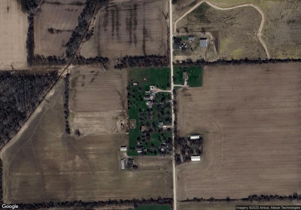
Map
Nearby Homes
- 408 Howell Rd
- 0 Parcel D Almont Rd
- 0 Parcel E Almont Rd
- 0 Parcel C Almont Rd
- 1020 Capac Rd
- VL Bordman Rd
- 5414 Bordman Rd
- TBD Bordman Rd
- 21830 Bordman Rd
- 14150 Hough Rd
- 0 Fox Ridge 1-A Unit 50200438
- 1376 Lathrop Rd
- 13895 Church Rd
- 16401 Almont Rd
- 16465 Almont Rd
- 16390 Dryden Rd
- 23100 Pratt Rd
- 0 Mackie Rd
- 5284 Scotch Settlement Rd
- 23335 McPhall Rd
Your Personal Tour Guide
Ask me questions while you tour the home.