705 Millport Pointe Unit 1 Duluth, GA 30097
Saint Ives Country Club NeighborhoodEstimated Value: $1,301,787 - $1,602,000
4
Beds
5
Baths
4,511
Sq Ft
$313/Sq Ft
Est. Value
About This Home
This home is located at 705 Millport Pointe Unit 1, Duluth, GA 30097 and is currently estimated at $1,410,447, approximately $312 per square foot. 705 Millport Pointe Unit 1 is a home located in Fulton County with nearby schools including Wilson Creek Elementary School, Autrey Mill Middle School, and Johns Creek High School.
Ownership History
Date
Name
Owned For
Owner Type
Purchase Details
Closed on
Mar 9, 2002
Sold by
Dowd Brian J
Bought by
Dowd Nora W
Current Estimated Value
Purchase Details
Closed on
Jan 26, 1999
Sold by
Etheredge Peggy T
Bought by
Dowd Brian J and Dowd Nora W
Home Financials for this Owner
Home Financials are based on the most recent Mortgage that was taken out on this home.
Original Mortgage
$521,100
Interest Rate
6.74%
Mortgage Type
New Conventional
Purchase Details
Closed on
Aug 3, 1993
Sold by
Ruthven Const Co Inc
Bought by
Etheredge Lee B
Home Financials for this Owner
Home Financials are based on the most recent Mortgage that was taken out on this home.
Original Mortgage
$350,000
Interest Rate
7.21%
Create a Home Valuation Report for This Property
The Home Valuation Report is an in-depth analysis detailing your home's value as well as a comparison with similar homes in the area
Home Values in the Area
Average Home Value in this Area
Purchase History
| Date | Buyer | Sale Price | Title Company |
|---|---|---|---|
| Dowd Nora W | -- | -- | |
| Dowd Brian J | -- | -- | |
| Etheredge Lee B | $559,600 | -- |
Source: Public Records
Mortgage History
| Date | Status | Borrower | Loan Amount |
|---|---|---|---|
| Previous Owner | Dowd Brian J | $521,100 | |
| Previous Owner | Etheredge Lee B | $350,000 |
Source: Public Records
Tax History
| Year | Tax Paid | Tax Assessment Tax Assessment Total Assessment is a certain percentage of the fair market value that is determined by local assessors to be the total taxable value of land and additions on the property. | Land | Improvement |
|---|---|---|---|---|
| 2025 | $9,849 | $561,560 | $175,480 | $386,080 |
| 2023 | $12,804 | $453,640 | $117,200 | $336,440 |
| 2022 | $10,979 | $388,960 | $115,240 | $273,720 |
| 2021 | $9,389 | $339,560 | $100,320 | $239,240 |
| 2020 | $9,469 | $335,520 | $99,120 | $236,400 |
| 2019 | $1,140 | $329,640 | $97,400 | $232,240 |
| 2018 | $9,293 | $299,080 | $96,040 | $203,040 |
| 2017 | $9,375 | $287,600 | $92,360 | $195,240 |
| 2016 | $9,199 | $287,600 | $92,360 | $195,240 |
| 2015 | $9,298 | $287,600 | $92,360 | $195,240 |
| 2014 | $8,434 | $252,200 | $81,000 | $171,200 |
Source: Public Records
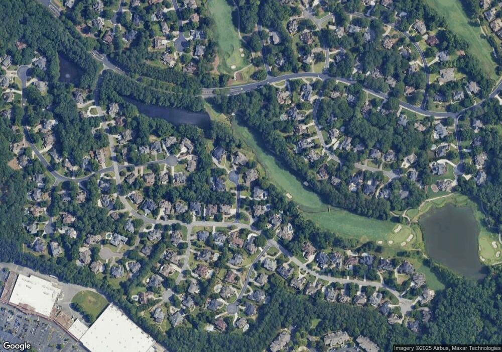
Map
Nearby Homes
- 203 Southern Hill Dr
- 3021 Shinnecock Hills Dr
- 1026 Quaker Ridge Way
- 406 Colonsay Dr
- 1834 Ballybunion Dr
- 1838 Ballybunion Dr
- 1180 Vintage Club Dr
- 5662 Lawley Dr
- 5780 Medlock Bridge Pkwy
- 720 Tuckahoe Trail
- 5635 Grove Point Rd
- 606 Goldsmith Ct Unit 114
- 602 Goldsmith Ct Unit 116
- 153 Wards Crossing Way
- 151 Wards Crossing Way
- 151 Wards Crossing Way Unit 9
- 149 Wards Crossing Way
- 147 Wards Crossing Way Unit 11
- 195 Jupiter Hills Point
- 144 Wards Crossing Way
- 703 Millport Pointe
- 703 Millport Point Unit 1
- 703 Millport Point
- 706 Millport Point
- 706 Millport Pte
- 706 Millport Pointe
- 702 Millport Point
- 702 Millport Pointe
- 229 Southern Hill Dr Unit I
- 704 Millport Pointe
- 704 Millport Point
- 225 Southern Hill Dr
- 408 W Country Dr
- 3016 Castle Pines Dr
- 3012 Castle Pines Dr
- 219 Southern Hill Dr
- 230 Southern Hill Dr Unit I
- 406 W Country Dr
- 233 Southern Hill Dr
- 409 W Country Dr
Your Personal Tour Guide
Ask me questions while you tour the home.