7057 S State Highway Ff Brookline, MO 65619
Estimated Value: $1,025,000 - $1,159,879
5
Beds
7
Baths
6,054
Sq Ft
$180/Sq Ft
Est. Value
About This Home
This home is located at 7057 S State Highway Ff, Brookline, MO 65619 and is currently estimated at $1,092,440, approximately $180 per square foot. 7057 S State Highway Ff is a home located in Greene County with nearby schools including Mcculloch Elementary School, Republic Middle School, and Republic High School.
Ownership History
Date
Name
Owned For
Owner Type
Purchase Details
Closed on
Jun 25, 2021
Sold by
Reynolds Andrea Leonhardt and Reynolds James Michael
Bought by
Holman Carl Allen and Holman Angel T
Current Estimated Value
Home Financials for this Owner
Home Financials are based on the most recent Mortgage that was taken out on this home.
Original Mortgage
$400,000
Outstanding Balance
$370,456
Interest Rate
4.5%
Mortgage Type
New Conventional
Estimated Equity
$721,984
Purchase Details
Closed on
Nov 5, 2015
Sold by
Kinser Leslie Ann
Bought by
Tony & Mike Investments Llc
Purchase Details
Closed on
Jun 22, 2010
Sold by
Reynolds James Michael and Reynolds Andrea Leonhardt
Bought by
Reynolds Andrea Leonhardt and Reynolds James Michael
Create a Home Valuation Report for This Property
The Home Valuation Report is an in-depth analysis detailing your home's value as well as a comparison with similar homes in the area
Home Values in the Area
Average Home Value in this Area
Purchase History
| Date | Buyer | Sale Price | Title Company |
|---|---|---|---|
| Holman Carl Allen | -- | None Available | |
| Tony & Mike Investments Llc | -- | None Available | |
| Reynolds Andrea Leonhardt | -- | None Available |
Source: Public Records
Mortgage History
| Date | Status | Borrower | Loan Amount |
|---|---|---|---|
| Open | Holman Carl Allen | $400,000 |
Source: Public Records
Tax History
| Year | Tax Paid | Tax Assessment Tax Assessment Total Assessment is a certain percentage of the fair market value that is determined by local assessors to be the total taxable value of land and additions on the property. | Land | Improvement |
|---|---|---|---|---|
| 2025 | $10,275 | $187,570 | $11,760 | $175,810 |
| 2024 | $9,702 | $168,380 | $7,580 | $160,800 |
| 2023 | $9,523 | $168,380 | $7,580 | $160,800 |
| 2022 | $7,533 | $138,910 | $7,580 | $131,330 |
| 2021 | $7,531 | $138,910 | $7,580 | $131,330 |
| 2020 | $7,222 | $130,150 | $7,580 | $122,570 |
| 2019 | $7,185 | $130,150 | $7,580 | $122,570 |
| 2018 | $7,463 | $131,000 | $7,580 | $123,420 |
| 2017 | $7,408 | $117,630 | $7,580 | $110,050 |
| 2016 | $6,721 | $117,630 | $7,580 | $110,050 |
| 2015 | $6,718 | $117,630 | $7,580 | $110,050 |
| 2014 | $6,741 | $116,770 | $7,580 | $109,190 |
Source: Public Records
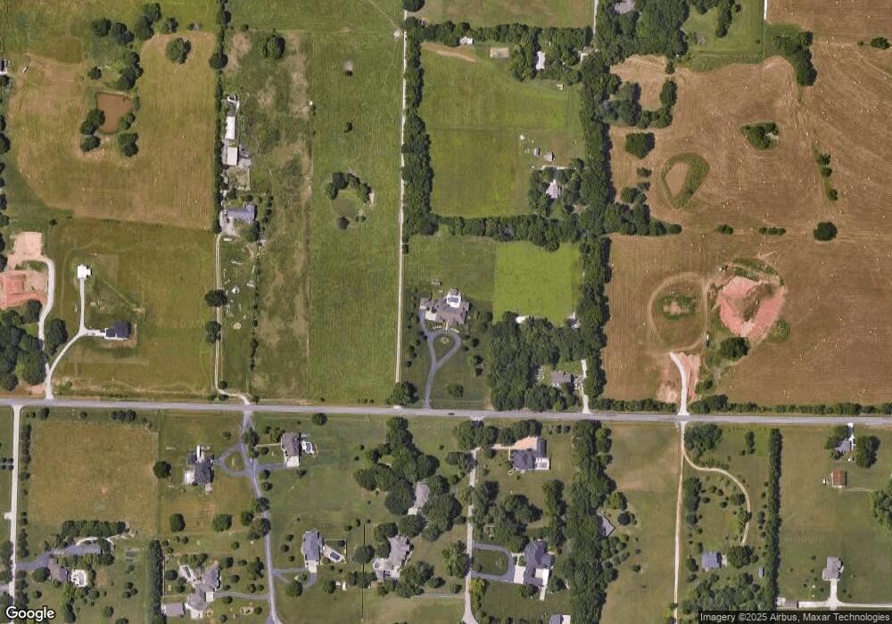
Map
Nearby Homes
- 2182 N Haseltine Rd
- 4930 S State Route Ff
- 1971 County Road Ff-1
- 4064 W Sycamore Dr Unit Lot 145
- 4059 W Sycamore Dr Unit Lot 151
- 4259 W Orchard Ln
- 2665 W Old Limey Rd
- 6060 S Brookside Ln
- 4544 Somerset Dr
- 5931 S Brookside Ln Unit Lot 79
- 000 W Old Limey Rd
- 5727 S State Highway Ff
- 5267 W Nokes Ln
- 4111 W Gardenia Dr
- 4061 W Gardenia Dr
- 5739 S Cottonwood Dr
- 4037 W Gardenia Dr
- 1661 N Old Burr Oak Ct
- 5604 S Honeysuckle Ln
- 3396 W Bluffview St
- 7001 S State Highway Ff
- 6385 S Farm Road 119
- 2168 N Rocky Top Rd
- 2169 N Rocky Top Rd
- 2168 N Eagleview
- 2127 N Rocky Top Rd
- 6377 S Farm Road 119
- 2488 S State Highway Ff
- 2126 N Rocky Top Rd
- 2126 N Eagleview
- 2169 N Eagle View Dr
- 2169 N Eagleview
- 6388 S Farm Road 119
- 6372 S Farm Road 119
- 6363 S Farm Road 119
- 2480 S State Highway Ff
- 2127 N Eagleview
- 2114 N Rocky Top Rd
- 7109 S State Highway Ff
- 2115 N Rocky Top Rd
Your Personal Tour Guide
Ask me questions while you tour the home.