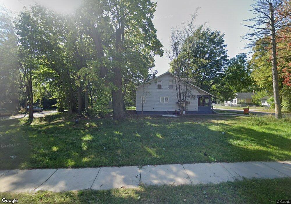
707 Pavone St Benton Harbor, MI 49022
Estimated Value: $35,000 - $483,000
Studio
--
Bath
--
Sq Ft
6,186
Sq Ft Lot
About This Home
This home is located at 707 Pavone St, Benton Harbor, MI 49022 and is currently estimated at $216,667. 707 Pavone St is a home located in Berrien County with nearby schools including Fair Plain Middle School, Benton Harbor High School, and Benton Harbor Charter School Academy.
Ownership History
Date
Name
Owned For
Owner Type
Purchase Details
Closed on
Dec 30, 2016
Sold by
Berrien County
Bought by
City Of Benton Harbor
Current Estimated Value
Purchase Details
Closed on
Mar 9, 2015
Sold by
Davis Larry
Bought by
Jackson Daryl A
Purchase Details
Closed on
Jul 31, 2008
Sold by
Davis John B
Bought by
Davis John B and Davis Larry D
Purchase Details
Closed on
Aug 7, 2006
Sold by
Davis John
Bought by
Jackson Dayrl
Home Financials for this Owner
Home Financials are based on the most recent Mortgage that was taken out on this home.
Original Mortgage
$10,000
Interest Rate
3.5%
Mortgage Type
Seller Take Back
Purchase Details
Closed on
Sep 12, 1989
Create a Home Valuation Report for This Property
The Home Valuation Report is an in-depth analysis detailing your home's value as well as a comparison with similar homes in the area
Home Values in the Area
Average Home Value in this Area
Purchase History
| Date | Buyer | Sale Price | Title Company |
|---|---|---|---|
| City Of Benton Harbor | -- | Attorney | |
| Jackson Daryl A | $1,000 | None Available | |
| Davis John B | -- | None Available | |
| Jackson Dayrl | $15,000 | None Available | |
| -- | $1,700 | -- |
Source: Public Records
Mortgage History
| Date | Status | Borrower | Loan Amount |
|---|---|---|---|
| Previous Owner | Jackson Dayrl | $10,000 |
Source: Public Records
Tax History
| Year | Tax Paid | Tax Assessment Tax Assessment Total Assessment is a certain percentage of the fair market value that is determined by local assessors to be the total taxable value of land and additions on the property. | Land | Improvement |
|---|---|---|---|---|
| 2025 | -- | $0 | $0 | $0 |
| 2024 | -- | $0 | $0 | $0 |
| 2023 | -- | $0 | $0 | $0 |
| 2022 | $0 | $0 | $0 | $0 |
| 2021 | $0 | $0 | $0 | $0 |
| 2020 | $630 | $0 | $0 | $0 |
| 2019 | $630 | $0 | $0 | $0 |
Source: Public Records
Map
Nearby Homes
- 758 Pearl St
- 614 Pavone St
- 730 Superior St
- 520 Broadway
- 596 Superior St
- 550 Sherman Ct
- 941 Colfax Ave
- 955 Colfax Ave
- 979 Lavette Ave
- 3A E Empire Ave
- VL E Empire Ave
- 561 Heck Ct
- 378 Pipestone St
- 1096 Pearl St
- 210 Market Place
- 1064 Ogden Ave
- 1145 Broadway
- 266 Parker Ave
- 1156 Mc Alister Ave
- VL Eighth Ninth Boughton St
Your Personal Tour Guide
Ask me questions while you tour the home.