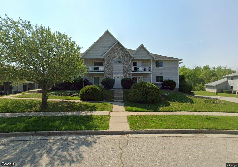
707 Shepherds Dr West Bend, WI 53090
Estimated Value: $192,148 - $200,000
2
Beds
1
Bath
1,096
Sq Ft
$179/Sq Ft
Est. Value
About This Home
This home is located at 707 Shepherds Dr, West Bend, WI 53090 and is currently estimated at $196,287, approximately $179 per square foot. 707 Shepherds Dr is a home located in Washington County with nearby schools including McLane Elementary School, Silverbrook Intermediate School, and East High School.
Ownership History
Date
Name
Owned For
Owner Type
Purchase Details
Closed on
Jan 20, 2023
Sold by
Peter C Labudde And Barbara L Labudde Tr
Bought by
Labudde Joseph K
Current Estimated Value
Home Financials for this Owner
Home Financials are based on the most recent Mortgage that was taken out on this home.
Original Mortgage
$118,000
Outstanding Balance
$98,620
Interest Rate
3.14%
Mortgage Type
Land Contract Argmt. Of Sale
Estimated Equity
$97,667
Purchase Details
Closed on
Sep 7, 2022
Sold by
Steinhorst Russell
Bought by
Labudde Barbara and Labudde Peter
Purchase Details
Closed on
Feb 16, 2022
Sold by
Vander Bunt Craig A and Vander Van Der
Bought by
Steinhorst Russell
Purchase Details
Closed on
Feb 11, 2022
Sold by
Vander Bunt Craig A and Vander Van Der
Bought by
Steinhorst Russell
Create a Home Valuation Report for This Property
The Home Valuation Report is an in-depth analysis detailing your home's value as well as a comparison with similar homes in the area
Home Values in the Area
Average Home Value in this Area
Purchase History
| Date | Buyer | Sale Price | Title Company |
|---|---|---|---|
| Labudde Joseph K | $118,000 | -- | |
| Peter C Labudde And Barbara L Labudde Tr | -- | -- | |
| Labudde Barbara | $150,000 | Burnet Title | |
| Steinhorst Russell | $138,400 | -- | |
| Steinhorst Russell | $138,400 | -- |
Source: Public Records
Mortgage History
| Date | Status | Borrower | Loan Amount |
|---|---|---|---|
| Open | Labudde Joseph K | $118,000 |
Source: Public Records
Tax History
| Year | Tax Paid | Tax Assessment Tax Assessment Total Assessment is a certain percentage of the fair market value that is determined by local assessors to be the total taxable value of land and additions on the property. | Land | Improvement |
|---|---|---|---|---|
| 2025 | $2,377 | $97,600 | $10,000 | $87,600 |
| 2024 | $2,241 | $168,500 | $20,000 | $148,500 |
| 2023 | $2,004 | $97,600 | $10,000 | $87,600 |
| 2022 | $1,749 | $97,600 | $10,000 | $87,600 |
| 2021 | $1,804 | $97,600 | $10,000 | $87,600 |
| 2020 | $1,747 | $97,600 | $10,000 | $87,600 |
| 2019 | $1,699 | $97,600 | $10,000 | $87,600 |
| 2018 | $1,642 | $97,600 | $10,000 | $87,600 |
| 2017 | $1,641 | $88,200 | $10,000 | $78,200 |
| 2016 | $1,655 | $88,200 | $10,000 | $78,200 |
| 2015 | $1,643 | $88,200 | $10,000 | $78,200 |
| 2014 | $1,644 | $88,200 | $10,000 | $78,200 |
| 2013 | $1,778 | $88,200 | $10,000 | $78,200 |
Source: Public Records
Map
Nearby Homes
- 622 Shepherds Dr Unit 3
- 622 Shepherds Dr Unit 6
- 908 Kings Ridge Ct E
- Lt1 Villa Park Dr
- 1416 Villa Park Ct
- 1407 Villa Park Ct
- 213 Ryan Ct
- 224 Deer Ridge Dr
- 6741 Jansen Dr
- 203 Deer Ridge Dr
- 810 Rockingham Ct Unit C
- 2346 W Washington St
- 4000 W Washington St
- 151 N University Dr Unit 215
- 125 N University Dr Unit 108
- 6215 Riesch Rd
- 1520 Pamme Ct
- 1816 Miller St Unit A
- 1833 Hilltop Dr
- 4538 Church Dr
- 707 Shepherds Dr
- 707 Shepherds Dr
- 707 Shepherds Dr
- 707 Shepherds Dr
- 707 Shepherds Dr
- 707 Shepherds Dr
- 707 Shepherds Dr
- 707 Shepherds Dr Unit 8
- 707 Shepherds Dr Unit 707
- 719 Shepherds Dr
- 719 Shepherds Dr
- 719 Shepherds Dr
- 719 Shepherds Dr
- 719 Shepherds Dr
- 719 Shepherds Dr
- 719 Shepherds Dr
- 715 Shepherds Dr Unit A7
- 715 Shepherds Dr
- 715 Shepherds Dr
- 715 Shepherds Dr
Your Personal Tour Guide
Ask me questions while you tour the home.