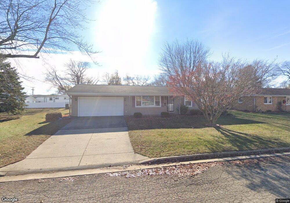
708 Eastmor Dr Princeton, IL 61356
Estimated Value: $146,000 - $170,000
3
Beds
2
Baths
1,120
Sq Ft
$140/Sq Ft
Est. Value
About This Home
This home is located at 708 Eastmor Dr, Princeton, IL 61356 and is currently estimated at $156,364, approximately $139 per square foot. 708 Eastmor Dr is a home located in Bureau County with nearby schools including Lincoln Elementary School, Jefferson Elementary School, and Logan Junior High School.
Ownership History
Date
Name
Owned For
Owner Type
Purchase Details
Closed on
Aug 25, 2009
Sold by
Gimbal Max
Bought by
Hayes John B
Current Estimated Value
Home Financials for this Owner
Home Financials are based on the most recent Mortgage that was taken out on this home.
Original Mortgage
$106,400
Outstanding Balance
$69,656
Interest Rate
5.21%
Mortgage Type
New Conventional
Estimated Equity
$86,708
Create a Home Valuation Report for This Property
The Home Valuation Report is an in-depth analysis detailing your home's value as well as a comparison with similar homes in the area
Home Values in the Area
Average Home Value in this Area
Purchase History
| Date | Buyer | Sale Price | Title Company |
|---|---|---|---|
| Hayes John B | $112,000 | None Available |
Source: Public Records
Mortgage History
| Date | Status | Borrower | Loan Amount |
|---|---|---|---|
| Open | Hayes John B | $106,400 |
Source: Public Records
Tax History
| Year | Tax Paid | Tax Assessment Tax Assessment Total Assessment is a certain percentage of the fair market value that is determined by local assessors to be the total taxable value of land and additions on the property. | Land | Improvement |
|---|---|---|---|---|
| 2024 | $3,179 | $46,891 | $6,322 | $40,569 |
| 2023 | $3,179 | $43,185 | $5,822 | $37,363 |
| 2022 | $2,972 | $40,488 | $5,458 | $35,030 |
| 2021 | $2,877 | $38,327 | $5,167 | $33,160 |
| 2020 | $2,768 | $36,924 | $4,978 | $31,946 |
| 2019 | $2,772 | $36,482 | $4,918 | $31,564 |
| 2018 | $2,711 | $35,858 | $4,834 | $31,024 |
| 2017 | $2,760 | $35,987 | $4,851 | $31,136 |
| 2016 | $2,679 | $35,047 | $4,724 | $30,323 |
| 2015 | -- | $29,793 | $0 | $29,793 |
| 2014 | -- | $34,435 | $4,642 | $29,793 |
| 2013 | -- | $34,622 | $4,667 | $29,955 |
Source: Public Records
Map
Nearby Homes
- 612 E Peru St
- 525 E Marion St
- 405 E Peru St
- 1015 S 6th St Unit 1
- 715 S Euclid Ave
- 708 E Thompson St
- 804 S Euclid Ave
- 405 N Church St
- 420 N Church St
- 428 E Thompson St
- 303 S Pleasant St
- 311 W Franklin St
- 814 N 1st St
- 618 W Putnam St
- 417 W Hudson St
- 1014 Sunset Dr
- 824 W Marquette St
- 1022 N Jacqualine Ln
- Lot 6 Ace Rd
- 206 N Linn St
Your Personal Tour Guide
Ask me questions while you tour the home.