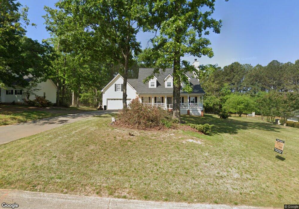
708 Michael Dr Unit 1 Winder, GA 30680
Estimated Value: $364,393 - $401,000
4
Beds
3
Baths
2,137
Sq Ft
$181/Sq Ft
Est. Value
About This Home
This home is located at 708 Michael Dr Unit 1, Winder, GA 30680 and is currently estimated at $387,098, approximately $181 per square foot. 708 Michael Dr Unit 1 is a home located in Barrow County with nearby schools including County Line Elementary School, Russell Middle School, and Winder-Barrow High School.
Ownership History
Date
Name
Owned For
Owner Type
Purchase Details
Closed on
May 27, 2022
Sold by
Woodson Stephen
Bought by
Manning Denise and Manning Theodore
Current Estimated Value
Home Financials for this Owner
Home Financials are based on the most recent Mortgage that was taken out on this home.
Original Mortgage
$225,000
Outstanding Balance
$212,825
Interest Rate
5.1%
Mortgage Type
New Conventional
Estimated Equity
$174,273
Purchase Details
Closed on
May 6, 2016
Sold by
Sims William R
Bought by
Woodson Stephen and Woodson Sandra
Home Financials for this Owner
Home Financials are based on the most recent Mortgage that was taken out on this home.
Original Mortgage
$180,000
Interest Rate
3.59%
Mortgage Type
VA
Purchase Details
Closed on
Apr 28, 2004
Sold by
Sims William R and Sims Lynn C
Bought by
Talley John E and Talley Mallie
Home Financials for this Owner
Home Financials are based on the most recent Mortgage that was taken out on this home.
Original Mortgage
$135,000
Interest Rate
3%
Mortgage Type
New Conventional
Purchase Details
Closed on
Feb 10, 1998
Sold by
Reynolds Larry D
Bought by
Talley John and Talley Mallie
Home Financials for this Owner
Home Financials are based on the most recent Mortgage that was taken out on this home.
Original Mortgage
$118,000
Interest Rate
7.07%
Mortgage Type
New Conventional
Purchase Details
Closed on
Jul 16, 1996
Bought by
D & R Development In
Create a Home Valuation Report for This Property
The Home Valuation Report is an in-depth analysis detailing your home's value as well as a comparison with similar homes in the area
Home Values in the Area
Average Home Value in this Area
Purchase History
| Date | Buyer | Sale Price | Title Company |
|---|---|---|---|
| Manning Denise | $350,000 | -- | |
| Woodson Stephen | $180,000 | -- | |
| Talley John E | -- | -- | |
| Sims William R | $169,000 | -- | |
| Talley John | $132,000 | -- | |
| D & R Development In | -- | -- |
Source: Public Records
Mortgage History
| Date | Status | Borrower | Loan Amount |
|---|---|---|---|
| Open | Manning Denise | $225,000 | |
| Previous Owner | Woodson Stephen | $180,000 | |
| Previous Owner | Sims William R | $135,000 | |
| Previous Owner | Talley John | $118,000 |
Source: Public Records
Tax History
| Year | Tax Paid | Tax Assessment Tax Assessment Total Assessment is a certain percentage of the fair market value that is determined by local assessors to be the total taxable value of land and additions on the property. | Land | Improvement |
|---|---|---|---|---|
| 2025 | $3,179 | $132,093 | $27,200 | $104,893 |
| 2024 | $3,237 | $129,033 | $27,200 | $101,833 |
| 2023 | $3,235 | $129,433 | $27,200 | $102,233 |
| 2022 | $3,063 | $108,613 | $20,000 | $88,613 |
| 2021 | $2,556 | $85,760 | $16,400 | $69,360 |
| 2020 | $2,393 | $80,210 | $13,600 | $66,610 |
| 2019 | $2,349 | $77,459 | $13,600 | $63,859 |
| 2018 | $2,156 | $71,958 | $13,600 | $58,358 |
| 2017 | $1,871 | $64,275 | $13,600 | $50,675 |
| 2016 | $1,755 | $55,618 | $16,000 | $39,618 |
| 2015 | $1,777 | $56,078 | $16,000 | $40,078 |
| 2014 | $1,583 | $47,984 | $7,448 | $40,536 |
| 2013 | -- | $45,041 | $7,448 | $37,593 |
Source: Public Records
Map
Nearby Homes
- 615 Wellington Dr
- 716 Michael Dr
- 311 Rockwell Church Rd NW
- 932 Century Oak Dr
- 128 Northridge Dr
- 909 Century Oak Dr Unit 2
- 139 Ashwood Ct
- 538 Valleyview Dr
- 536 Valley View Dr
- 857 Laurel Ln
- 403 Ryan Cir
- 2050 Whispering Way
- 845 Idlewood Rd
- 27 Creekside Dr
- 0 Gainesville Hwy Unit 10712053
- 0 E Northcrest Dr Unit 10648147
- 469 Plantation Dr
- 553 Rockwell Church Rd NW
- 236 Hidden Ct
- 326 Fayette Dr
- 708 Michael Dr
- 708 Michael Dr Unit 5
- 706 Michael Dr
- 706 Michael Dr Unit 1
- 710 Michael Dr
- 704 Michael Dr
- 611 Wellington Dr
- 714 Michael Dr
- 609 Wellington Dr
- 707 Michael Dr
- 711 Michael Dr
- 709 Michael Dr
- 615 Wellington Dr
- 702 Michael Dr Unit 1
- 702 Michael Dr
- 705 Michael Dr Unit 1
- 605 Wellington Dr
- 715 Michael Dr Unit 1
- 703 Michael Dr
- 703 Michael Dr Unit 1
Your Personal Tour Guide
Ask me questions while you tour the home.