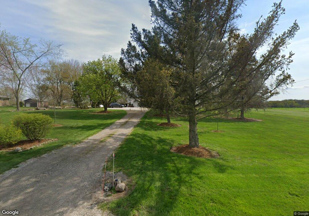
7085 W Howe Rd Dewitt, MI 48820
Estimated Value: $230,792 - $302,000
3
Beds
1
Bath
1,056
Sq Ft
$251/Sq Ft
Est. Value
About This Home
This home is located at 7085 W Howe Rd, Dewitt, MI 48820 and is currently estimated at $264,698, approximately $250 per square foot. 7085 W Howe Rd is a home located in Clinton County with nearby schools including Wacousta Elementary School, Leon W. Hayes Middle School, and Grand Ledge High School.
Ownership History
Date
Name
Owned For
Owner Type
Purchase Details
Closed on
Mar 28, 2003
Sold by
Kohon Jerry L
Bought by
Bovee Michael L and Bovee Carolyn K
Current Estimated Value
Home Financials for this Owner
Home Financials are based on the most recent Mortgage that was taken out on this home.
Original Mortgage
$136,170
Outstanding Balance
$59,313
Interest Rate
5.94%
Mortgage Type
VA
Estimated Equity
$205,385
Create a Home Valuation Report for This Property
The Home Valuation Report is an in-depth analysis detailing your home's value as well as a comparison with similar homes in the area
Home Values in the Area
Average Home Value in this Area
Purchase History
| Date | Buyer | Sale Price | Title Company |
|---|---|---|---|
| Bovee Michael L | $133,500 | Midstate Title Company |
Source: Public Records
Mortgage History
| Date | Status | Borrower | Loan Amount |
|---|---|---|---|
| Open | Bovee Michael L | $136,170 |
Source: Public Records
Tax History
| Year | Tax Paid | Tax Assessment Tax Assessment Total Assessment is a certain percentage of the fair market value that is determined by local assessors to be the total taxable value of land and additions on the property. | Land | Improvement |
|---|---|---|---|---|
| 2025 | $2,233 | $89,000 | $27,400 | $61,600 |
| 2024 | $7 | $83,750 | $24,850 | $58,900 |
| 2023 | $697 | $70,100 | $0 | $0 |
| 2022 | $1,939 | $64,900 | $19,950 | $44,950 |
| 2021 | $1,886 | $63,600 | $20,000 | $43,600 |
| 2020 | $463 | $63,600 | $0 | $0 |
| 2019 | $1,683 | $56,250 | $17,600 | $38,650 |
| 2018 | $1,549 | $56,150 | $16,650 | $39,500 |
| 2017 | $1,534 | $56,450 | $16,500 | $39,950 |
| 2016 | $1,534 | $54,400 | $15,600 | $38,800 |
| 2015 | $1,546 | $49,650 | $0 | $0 |
| 2011 | -- | $51,550 | $0 | $0 |
Source: Public Records
Map
Nearby Homes
- 10880 S Francis Rd
- 6260 W Chadwick Rd
- 4975 W Cutler Rd
- 9230 Looking Glass Brook Dr
- 11471 S Bauer Rd
- 4083 W Herbison Rd
- 00 Driftwood Dr
- 0 Driftwood Dr
- 3893 Sage Ln
- 11740 Kalamata Dr
- 3783 Wisteria Ln
- 3535 Stanwood Dr
- 14013 Ambrosia Ave
- 1605 Stauffer Ln
- 13624 Sienna Pass
- 3343 Silverspring Dr
- 1306 Schavey Rd
- 3421 Hawthorne Woods Pkwy
- 7837 W Grand
- 12800 S Wright Rd
- 7041 W Howe Rd
- 7125 W Howe Rd
- 7052 W Howe Rd
- 11970 S Francis Rd
- 7104 W Howe Rd
- 11950 S Francis Rd
- 7130 W Howe Rd
- 6960 W Howe Rd
- 6949 W Howe Rd
- 12125 S Francis Rd
- 6920 W Howe Rd
- 6905 W Howe Rd
- 12201 S Francis Rd
- 7210 W Howe Rd
- 11925 S Francis Rd
- 7255 W Howe Rd
- 11910 S Francis Rd
- 6860 W Howe Rd
- 11875 S Francis Rd
- 6855 W Howe Rd
Your Personal Tour Guide
Ask me questions while you tour the home.