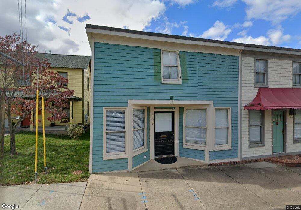
709 Dranesville Rd Herndon, VA 20170
Herndon AreaEstimated Value: $365,000 - $452,419
About This Home
This home is located at 709 Dranesville Rd, Herndon, VA 20170 and is currently estimated at $408,710, approximately $334 per square foot. 709 Dranesville Rd is a home located in Fairfax County with nearby schools including Herndon Elementary, Herndon Middle School, and Herndon High School.
Ownership History
We collect this data history from publicly available records. To have your information removed, we recommend requesting removal directly through your county’s website.
Purchase Details
Home Financials for this Owner
Home Financials are based on the most recent Mortgage that was taken out on this home.Home Values in the Area
Average Home Value in this Area
Purchase History
We collect this data history from publicly available records. To have your information removed, we recommend requesting removal directly through your county’s website.
| Date | Buyer | Sale Price | Title Company |
|---|---|---|---|
| $265,000 | First American Title Ins Co |
Mortgage History
We collect this data history from publicly available records. To have your information removed, we recommend requesting removal directly through your county’s website.
| Date | Status | Borrower | Loan Amount |
|---|---|---|---|
| Open | $286,500 | ||
| Closed | $260,200 |
Tax History
We collect this data history from publicly available records. To have your information removed, we recommend requesting removal directly through your county’s website.
| Year | Tax Paid | Tax Assessment Tax Assessment Total Assessment is a certain percentage of the fair market value that is determined by local assessors to be the total taxable value of land and additions on the property. | Land | Improvement |
|---|---|---|---|---|
| 2025 | $4,971 | $353,600 | $246,000 | $107,600 |
| 2024 | $4,971 | $350,470 | $246,000 | $104,470 |
| 2023 | $4,896 | $352,600 | $246,000 | $106,600 |
| 2022 | $4,854 | $344,600 | $238,000 | $106,600 |
| 2021 | $3,026 | $257,900 | $166,000 | $91,900 |
| 2020 | $3,494 | $262,740 | $166,000 | $96,740 |
| 2019 | $3,851 | $294,290 | $151,000 | $143,290 |
| 2018 | $2,534 | $220,360 | $36,280 | $184,080 |
| 2017 | $2,631 | $204,570 | $25,920 | $178,650 |
| 2016 | $2,454 | $191,170 | $33,690 | $157,480 |
| 2015 | $2,266 | $182,620 | $33,690 | $148,930 |
| 2014 | $2,158 | $174,260 | $33,170 | $141,090 |
Map
- 727 Park Ave
- 1106 Monroe St
- 1002 Charlton Place
- 1104 Clarke St
- 908 Ashburn St
- 900 Barker Hill Rd
- 412 Cavendish St
- 407 Madison St
- 508 Hollingsworth Terrace
- 106 Meeting House Station Square
- 815 Branch Dr Unit 402
- 1016 Saber Ln
- 1539 Kingstream Cir
- 1024 Queens Ct
- 12212 Meadowstream Ct
- 1103 Lopez Ln
- 1057 Burwick Dr
- 1501 Judd Ct
- 116 Herndon Mill Cir
- 1103 Burwick Dr
- 705 Dranesville Rd
- 707 Dranesville Rd
- 703 Dranesville Rd
- 1010 Tyler St
- 1012 Tyler St
- 709 Dranesville Rd Unit B
- 709 Dranesville Rd Unit A
- 1008 Tyler St
- 701 Dranesville Rd
- 1014 Tyler St
- 1007 Pembrook St
- 625 Worchester St
- 1005 Pembrook St
- 1006 Tyler St
- 1003 Pembrook St
- 715 Dranesville Rd
- 626 Worchester St
- 719 Dranesville Rd
- 1016 Tyler St
- 1007 Tyler St
Ask me questions while you tour the home.