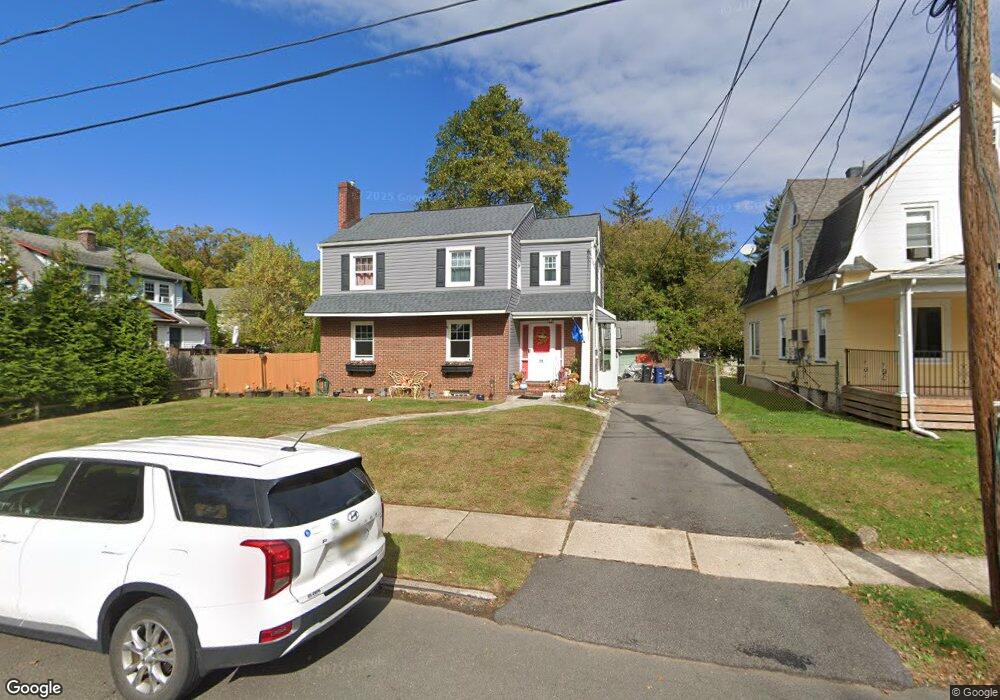
709 Marshall Place Unit 11 Plainfield, NJ 07062
Estimated Value: $482,772 - $586,000
Studio
--
Bath
1,760
Sq Ft
$308/Sq Ft
Est. Value
About This Home
This home is located at 709 Marshall Place Unit 11, Plainfield, NJ 07062 and is currently estimated at $542,193, approximately $308 per square foot. 709 Marshall Place Unit 11 is a home located in Union County with nearby schools including Frederic W. Cook School, Emerson Community School, and Maxson Middle School.
Ownership History
Date
Name
Owned For
Owner Type
Purchase Details
Closed on
Oct 17, 2006
Sold by
Thorpe Willie Hugh
Bought by
Boyd Stephanie M and Boyd Ricky V
Current Estimated Value
Home Financials for this Owner
Home Financials are based on the most recent Mortgage that was taken out on this home.
Original Mortgage
$268,000
Outstanding Balance
$160,098
Interest Rate
6.48%
Estimated Equity
$382,095
Create a Home Valuation Report for This Property
The Home Valuation Report is an in-depth analysis detailing your home's value as well as a comparison with similar homes in the area
Home Values in the Area
Average Home Value in this Area
Purchase History
We collect this data history from publicly available records. To have your information removed, we recommend requesting removal directly through your county’s website.
| Date | Buyer | Sale Price | Title Company |
|---|---|---|---|
| Boyd Stephanie M | $335,000 | -- |
Source: Public Records
Mortgage History
We collect this data history from publicly available records. To have your information removed, we recommend requesting removal directly through your county’s website.
| Date | Status | Borrower | Loan Amount |
|---|---|---|---|
| Open | Boyd Stephanie M | $268,000 |
Source: Public Records
Tax History
| Year | Tax Paid | Tax Assessment Tax Assessment Total Assessment is a certain percentage of the fair market value that is determined by local assessors to be the total taxable value of land and additions on the property. | Land | Improvement |
|---|---|---|---|---|
| 2025 | $11,710 | $134,100 | $50,000 | $84,100 |
| 2024 | $11,594 | $134,100 | $50,000 | $84,100 |
| 2023 | $11,594 | $134,100 | $50,000 | $84,100 |
| 2022 | $11,344 | $134,100 | $50,000 | $84,100 |
| 2021 | $11,244 | $134,100 | $50,000 | $84,100 |
| 2020 | $11,212 | $134,100 | $50,000 | $84,100 |
| 2019 | $11,212 | $134,100 | $50,000 | $84,100 |
| 2018 | $10,977 | $134,100 | $50,000 | $84,100 |
| 2017 | $10,709 | $134,100 | $50,000 | $84,100 |
| 2016 | $10,491 | $134,100 | $50,000 | $84,100 |
| 2015 | $10,181 | $134,100 | $50,000 | $84,100 |
| 2014 | $9,905 | $134,100 | $50,000 | $84,100 |
Source: Public Records
Map
Nearby Homes
- 1246 Lansdowne Terrace Unit 50
- 1202 E 7th St
- 812 Sterling St Unit 18
- 837 Coolidge St Unit 39
- 835 Dixie Ln Unit 37
- 1365 Columbia Ave Unit 69
- 481 Terrill Rd
- 889 Fernwood Ave Unit 93
- 519 Terrill Rd
- 754 Dixie Ln
- 305 Leland Ave Unit 7
- 917 Fernwood Ave Unit 23
- 341 Terrill Rd
- 47 La Grande Ave
- 263 Colonial Place Unit 65
- 196 Vinton Cir
- 1127-29 Earle Place
- 1127 Earle Place Unit 29
- 1101 Terrill Rd
- 311 Johnston Ave
- 713 Marshall Place Unit 17
- 715 Marshall Place
- 719-23 Marshall Place
- 719 Marshall Place Unit 23
- 703 Marshall Place Unit 7
- 1249 Lansdowne Terrace Unit 51
- 1250 Radcliffe Place
- 1246 Radcliffe Place Unit 50
- 725 Marshall Place Unit 29
- 1243 Lansdowne Terrace Unit 45
- 700 Coolidge St Unit 2
- 1242 Radcliffe Place Unit 44
- 704-06 Coolidge St
- 704 Coolidge St Unit 6
- 714 Coolidge St Unit 18
- 1308 E 7th St Unit 14
- 708 Coolidge St Unit 12
- 1306 E 7th St
- 731-35 Marshall Place
- 1300 E 7th St Unit 4
Your Personal Tour Guide
Ask me questions while you tour the home.