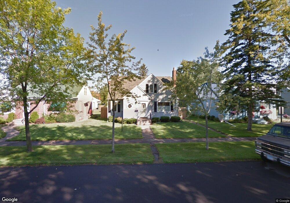
709 N 20th St Superior, WI 54880
Central Superior NeighborhoodEstimated Value: $247,000 - $343,000
About This Home
This home is located at 709 N 20th St, Superior, WI 54880 and is currently estimated at $303,314. 709 N 20th St is a home located in Douglas County with nearby schools including Superior High School and Cathedral School.
Ownership History
We collect this data history from publicly available records. To have your information removed, we recommend requesting removal directly through your county’s website.
Purchase Details
Purchase Details
Purchase Details
Home Values in the Area
Average Home Value in this Area
Purchase History
We collect this data history from publicly available records. To have your information removed, we recommend requesting removal directly through your county’s website.
| Date | Buyer | Sale Price | Title Company |
|---|---|---|---|
| $165,300 | -- | ||
| $165,000 | -- | ||
| $149,000 | -- |
Tax History
We collect this data history from publicly available records. To have your information removed, we recommend requesting removal directly through your county’s website.
| Year | Tax Paid | Tax Assessment Tax Assessment Total Assessment is a certain percentage of the fair market value that is determined by local assessors to be the total taxable value of land and additions on the property. | Land | Improvement |
|---|---|---|---|---|
| 2025 | $3,908 | $261,500 | $14,000 | $247,500 |
| 2024 | $3,819 | $261,500 | $14,000 | $247,500 |
| 2023 | $4,179 | $152,600 | $12,200 | $140,400 |
| 2022 | $3,426 | $152,600 | $12,200 | $140,400 |
| 2021 | $3,386 | $152,600 | $12,200 | $140,400 |
| 2020 | $3,582 | $152,600 | $12,200 | $140,400 |
| 2019 | $3,193 | $152,600 | $12,200 | $140,400 |
| 2018 | $3,183 | $152,600 | $12,200 | $140,400 |
| 2017 | $3,305 | $152,600 | $12,200 | $140,400 |
| 2016 | $3,367 | $152,600 | $12,200 | $140,400 |
| 2015 | $3,268 | $140,400 | $12,200 | $140,400 |
| 2014 | $3,268 | $152,600 | $12,200 | $140,400 |
| 2013 | $3,296 | $152,600 | $12,200 | $140,400 |
Map
- 702 N 21st St
- 819 N 22nd St
- 915 N 22nd St
- 1809 Lamborn Ave
- 1109 Lincoln St
- 1111 N 22nd St
- 1115 Harrison St Unit 1117
- 601 Belknap St
- 1205 Harrison St Unit 1207
- 1308 N 16th St
- 11C Hayes Ct
- 2004 Hughitt Ave
- 1301 Cypress Ave Unit 1303
- 1505 N 19th St
- 2014 John Ave
- 1605 Hughitt Ave
- 1211 Weeks Ave
- 1303 Baxter Ave
- 24 N 21st St E
- 30 N 21st St E
Ask me questions while you tour the home.