Estimated Value: $645,000 - $708,000
3
Beds
3
Baths
1,881
Sq Ft
$364/Sq Ft
Est. Value
About This Home
This home is located at 71 Emerald St, Wells, ME 04090 and is currently estimated at $684,836, approximately $364 per square foot. 71 Emerald St is a home with nearby schools including Wells Elementary School, Wells Junior High School, and Wells High School.
Ownership History
Date
Name
Owned For
Owner Type
Purchase Details
Closed on
Mar 13, 2014
Sold by
Jw Group Llc
Bought by
Wilson Walter L and Wilson Katrina L
Current Estimated Value
Home Financials for this Owner
Home Financials are based on the most recent Mortgage that was taken out on this home.
Original Mortgage
$254,258
Outstanding Balance
$189,712
Interest Rate
4.32%
Mortgage Type
New Conventional
Estimated Equity
$495,124
Purchase Details
Closed on
Mar 18, 2009
Sold by
Bunker Properties Llc
Bought by
Perrino John and Perrino Tracy
Create a Home Valuation Report for This Property
The Home Valuation Report is an in-depth analysis detailing your home's value as well as a comparison with similar homes in the area
Home Values in the Area
Average Home Value in this Area
Purchase History
| Date | Buyer | Sale Price | Title Company |
|---|---|---|---|
| Wilson Walter L | -- | -- | |
| Perrino John | -- | -- |
Source: Public Records
Mortgage History
| Date | Status | Borrower | Loan Amount |
|---|---|---|---|
| Open | Wilson Walter L | $254,258 |
Source: Public Records
Tax History
| Year | Tax Paid | Tax Assessment Tax Assessment Total Assessment is a certain percentage of the fair market value that is determined by local assessors to be the total taxable value of land and additions on the property. | Land | Improvement |
|---|---|---|---|---|
| 2025 | $4,001 | $619,320 | $163,160 | $456,160 |
| 2024 | $3,694 | $607,520 | $163,160 | $444,360 |
| 2023 | $3,621 | $607,520 | $163,160 | $444,360 |
| 2022 | $3,427 | $327,590 | $65,160 | $262,430 |
| 2021 | $3,446 | $327,590 | $58,040 | $269,550 |
| 2020 | $3,376 | $322,150 | $65,160 | $256,990 |
| 2019 | $3,354 | $321,900 | $65,160 | $256,740 |
| 2018 | $3,322 | $321,900 | $65,160 | $256,740 |
| 2017 | $3,264 | $321,230 | $65,160 | $256,070 |
| 2016 | $3,232 | $321,230 | $65,160 | $256,070 |
| 2015 | $3,196 | $321,230 | $65,160 | $256,070 |
| 2013 | $594 | $65,160 | $65,160 | $0 |
Source: Public Records
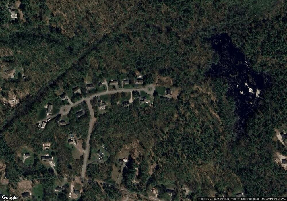
Map
Nearby Homes
- Lot A Meetinghouse Rd
- 00 Farm View Ln
- 223 Chick Crossing Rd
- lot 3 Lydias Cir
- 1007 Branch Rd
- lot 20 Lydias Cir
- Lot 4A Cider Press Ln
- 222 Hobbs Farm Rd Unit Lot 9
- 222 Hobbs Farm Rd Unit Lot 10
- 222 Hobbs Farm Rd Unit Lot 7
- 222 Hobbs Farm Rd Unit Lot 5
- 222 Hobbs Farm Rd Unit Lot 8
- 1646 Branch Rd
- 212 Sagamore Dr
- Lot 105 Patriot Place Unit 105
- Lot 89 Patriot Place Unit 89
- Lot 102 Patriot Place Unit 102
- Lot 109 Patriot Place Unit 109
- Lot 101 Patriot Place Unit 101
- Lot 87 Patriot Place Unit 87
Your Personal Tour Guide
Ask me questions while you tour the home.