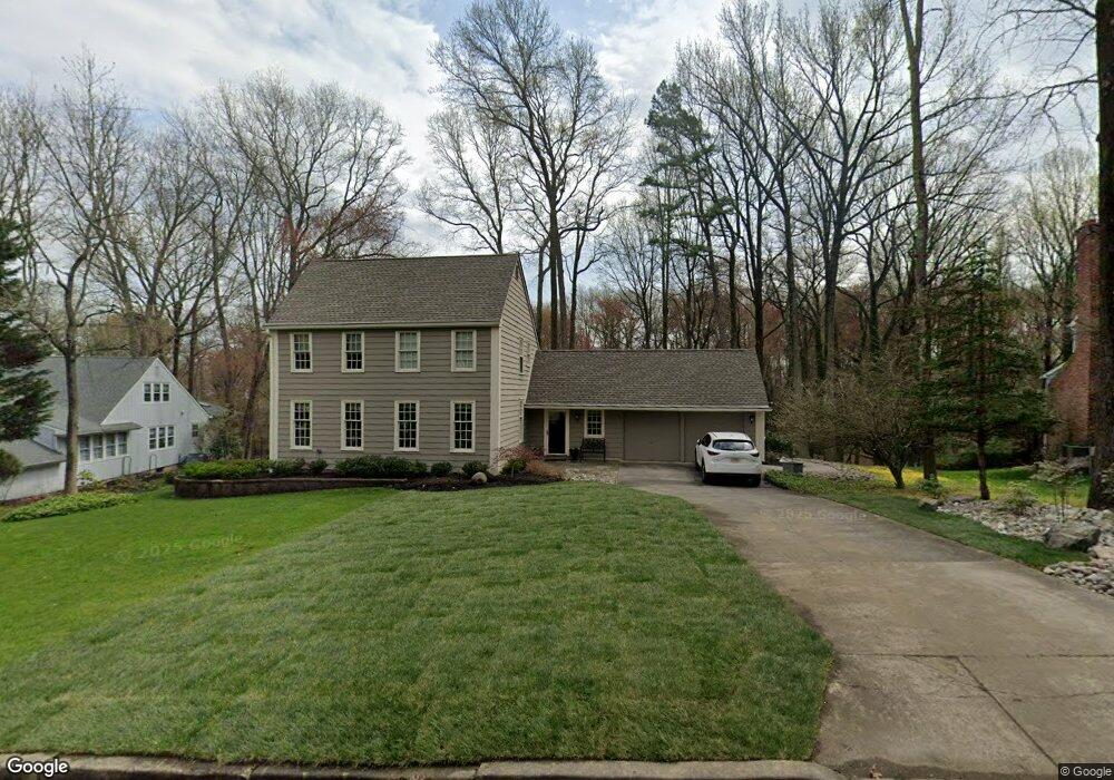
71 Harrowgate Dr Cherry Hill, NJ 08003
Estimated Value: $659,000 - $713,000
Studio
--
Bath
2,226
Sq Ft
$310/Sq Ft
Est. Value
About This Home
This home is located at 71 Harrowgate Dr, Cherry Hill, NJ 08003 and is currently estimated at $690,500, approximately $310 per square foot. 71 Harrowgate Dr is a home located in Camden County with nearby schools including Richard Stockton Elementary School, Henry C. Beck Middle School, and Cherry Hill High-East High School.
Ownership History
Date
Name
Owned For
Owner Type
Purchase Details
Closed on
Feb 24, 2003
Sold by
Shields Kevin S
Bought by
Bigley Donald J and Bigley Sara E
Current Estimated Value
Home Financials for this Owner
Home Financials are based on the most recent Mortgage that was taken out on this home.
Original Mortgage
$286,800
Interest Rate
6.22%
Purchase Details
Closed on
Nov 16, 1998
Sold by
Alexander Bradley M
Bought by
Shields Kevin J and Shields Ana M
Home Financials for this Owner
Home Financials are based on the most recent Mortgage that was taken out on this home.
Original Mortgage
$189,000
Interest Rate
6.65%
Purchase Details
Closed on
Oct 24, 1995
Sold by
Scherdt William
Bought by
Alexander Bradley and Alexander Lisa
Home Financials for this Owner
Home Financials are based on the most recent Mortgage that was taken out on this home.
Original Mortgage
$203,000
Interest Rate
7.33%
Create a Home Valuation Report for This Property
The Home Valuation Report is an in-depth analysis detailing your home's value as well as a comparison with similar homes in the area
Home Values in the Area
Average Home Value in this Area
Purchase History
| Date | Buyer | Sale Price | Title Company |
|---|---|---|---|
| Bigley Donald J | $358,500 | -- | |
| Shields Kevin J | $7,023,625 | -- | |
| Alexander Bradley | $213,500 | -- |
Source: Public Records
Mortgage History
| Date | Status | Borrower | Loan Amount |
|---|---|---|---|
| Previous Owner | Bigley Donald J | $286,800 | |
| Previous Owner | Shields Kevin J | $189,000 | |
| Previous Owner | Alexander Bradley | $203,000 |
Source: Public Records
Tax History
| Year | Tax Paid | Tax Assessment Tax Assessment Total Assessment is a certain percentage of the fair market value that is determined by local assessors to be the total taxable value of land and additions on the property. | Land | Improvement |
|---|---|---|---|---|
| 2025 | $14,470 | $307,800 | $86,400 | $221,400 |
| 2024 | $12,934 | $307,800 | $86,400 | $221,400 |
| 2023 | $12,934 | $307,800 | $86,400 | $221,400 |
| 2022 | $12,577 | $307,800 | $86,400 | $221,400 |
| 2021 | $12,617 | $307,800 | $86,400 | $221,400 |
| 2020 | $12,463 | $307,800 | $86,400 | $221,400 |
| 2019 | $12,457 | $307,800 | $86,400 | $221,400 |
| 2018 | $12,423 | $307,800 | $86,400 | $221,400 |
| 2017 | $12,254 | $307,800 | $86,400 | $221,400 |
| 2016 | $12,090 | $307,800 | $86,400 | $221,400 |
| 2015 | $11,900 | $307,800 | $86,400 | $221,400 |
| 2014 | $11,767 | $307,800 | $86,400 | $221,400 |
Source: Public Records
Map
Nearby Homes
- 501 Hickory Cir
- 205 Chanticleer
- 802 Chanticleer
- 828 Chanticleer
- 765 Chanticleer
- 736 Chanticleer Unit C0736
- 1142 Chanticleer
- 342 Chanticleer
- 1033 Chanticleer
- 1022 Rymill Run
- 6073 Main St
- 1022 Main St
- 1962 Kennet Ct Unit 1962
- 4023 Main St
- 6141 Main St Piazza Unit 6141
- 27 Progress Place
- 1837 Meerbrook Ct
- 32 Country Walk
- 22 Country Walk
- 61 Wynnewood Dr
- 73 Harrowgate Dr
- 69 Harrowgate Dr
- 67 Harrowgate Dr
- 54 Harrowgate Dr
- 56 Harrowgate Dr
- 52 Harrowgate Dr
- 58 Harrowgate Dr
- 77 Harrowgate Dr
- 65 Harrowgate Dr
- 6 Glenperth Ln
- 8 Pendleton Dr
- 8 Glenperth Ln
- 4 Glenperth Ln
- 19 Pawtucket Dr
- 17 Pawtucket Dr
- 60 Harrowgate Dr
- 21 Pawtucket Dr
- 79 Harrowgate Dr
- 15 Pawtucket Dr
- 6 Pendleton Dr
Your Personal Tour Guide
Ask me questions while you tour the home.