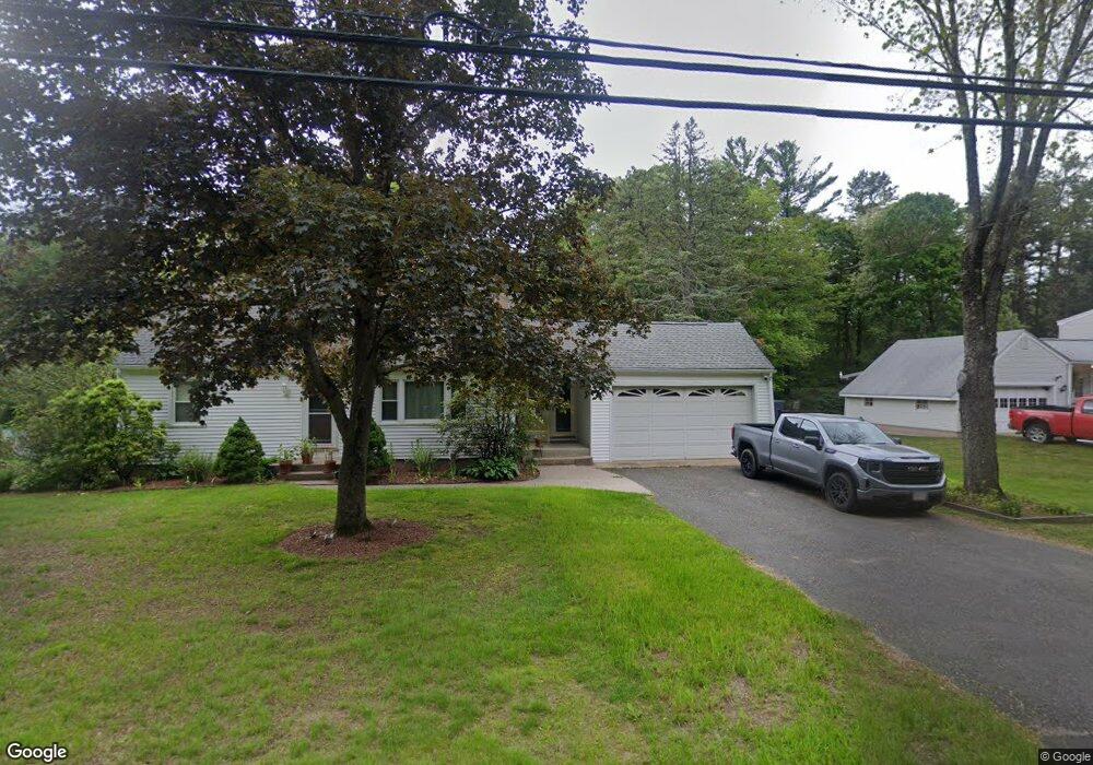
71 Paper Mill Rd Unit 71 Westfield, MA 01085
Westfield AreaEstimated Value: $394,000 - $425,000
About This Home
This home is located at 71 Paper Mill Rd Unit 71, Westfield, MA 01085 and is currently estimated at $411,525, approximately $264 per square foot. 71 Paper Mill Rd Unit 71 is a home located in Hampden County with nearby schools including Westfield High School, Westfield Christian Academy, and Saint Mary High School.
Ownership History
We collect this data history from publicly available records. To have your information removed, we recommend requesting removal directly through your county’s website.
Purchase Details
Purchase Details
Home Values in the Area
Average Home Value in this Area
Purchase History
We collect this data history from publicly available records. To have your information removed, we recommend requesting removal directly through your county’s website.
| Date | Buyer | Sale Price | Title Company |
|---|---|---|---|
| $185,000 | -- | ||
| $265,000 | -- |
Mortgage History
We collect this data history from publicly available records. To have your information removed, we recommend requesting removal directly through your county’s website.
| Date | Status | Borrower | Loan Amount |
|---|---|---|---|
| Previous Owner | $261,286 |
Tax History
We collect this data history from publicly available records. To have your information removed, we recommend requesting removal directly through your county’s website.
| Year | Tax Paid | Tax Assessment Tax Assessment Total Assessment is a certain percentage of the fair market value that is determined by local assessors to be the total taxable value of land and additions on the property. | Land | Improvement |
|---|---|---|---|---|
| 2025 | $4,839 | $318,800 | $126,500 | $192,300 |
| 2024 | $4,828 | $302,300 | $115,100 | $187,200 |
| 2023 | $4,698 | $274,900 | $109,700 | $165,200 |
| 2022 | $4,506 | $243,700 | $97,500 | $146,200 |
| 2021 | $3,604 | $231,500 | $92,100 | $139,400 |
| 2020 | $4,260 | $221,300 | $92,100 | $129,200 |
| 2019 | $4,172 | $212,100 | $88,000 | $124,100 |
| 2018 | $2,761 | $212,100 | $88,000 | $124,100 |
| 2017 | $2,627 | $208,300 | $89,300 | $119,000 |
| 2016 | $4,049 | $208,300 | $89,300 | $119,000 |
| 2015 | $3,862 | $208,300 | $89,300 | $119,000 |
| 2014 | $2,888 | $208,300 | $89,300 | $119,000 |
Map
- 179 Joseph Ave
- 30 Cara Ln
- 242 Eastwood Dr
- 83 Eastwood Dr
- 69 Rachael Terrace
- 46 Gloria Dr
- 34 Gloria Dr
- 289 Lower Sandyhill Rd
- 94 Holyoke Rd
- 514 Dewey St
- 326 Dewey St
- 0 E Mountain Rd
- 8 Emerald Ave
- 37 Klondike Ave
- 231 Edgewood Rd
- 38 Klondike Ave
- 71 Notre Dame St
- 19 Arch Rd
- 1507 E Mountain Rd
- 291 Forest Glen
- 81 Paper Mill Rd
- 71 Paper Mill Rd
- 93 Paper Mill Rd
- 65 Paper Mill Rd
- 97 Paper Mill Rd
- 57 Paper Mill Rd
- 168 Elizabeth Ave
- 172 Elizabeth Ave
- 164 Elizabeth Ave
- 160 Elizabeth Ave
- 178 Elizabeth Ave
- 186 Elizabeth Ave
- 156 Elizabeth Ave
- 41 Paper Mill Rd
- 116 Paper Mill Rd
- 120 Paper Mill Rd
- 163 Elizabeth Ave
- 29 Paper Mill Rd
- 29 Paper Mill Rd
- 167 Elizabeth Ave
Ask me questions while you tour the home.