71 Sherman Rd Morrilton, AR 72110
Estimated Value: $294,307 - $309,000
Studio
3
Baths
2,482
Sq Ft
$122/Sq Ft
Est. Value
About This Home
This home is located at 71 Sherman Rd, Morrilton, AR 72110 and is currently estimated at $301,654, approximately $121 per square foot. 71 Sherman Rd is a home located in Conway County with nearby schools including Morrilton Primary School, Morrilton Elementary School, and Morrilton Intermediate School.
Ownership History
Date
Name
Owned For
Owner Type
Purchase Details
Closed on
May 3, 2002
Bought by
Hardiman Titus
Current Estimated Value
Purchase Details
Closed on
Jun 5, 2000
Bought by
Hardiman Titus
Purchase Details
Closed on
Sep 1, 1998
Bought by
Fullerton Ii George L and Fullerton Sharon L
Purchase Details
Closed on
Aug 3, 1998
Bought by
Rainey Ronnie R
Purchase Details
Closed on
Jan 1, 1997
Bought by
Millsap Sherman and Rainey Ronnie
Create a Home Valuation Report for This Property
The Home Valuation Report is an in-depth analysis detailing your home's value as well as a comparison with similar homes in the area
Purchase History
| Date | Buyer | Sale Price | Title Company |
|---|---|---|---|
| Hardiman Titus | -- | -- | |
| Hardiman Titus | $19,000 | -- | |
| Fullerton Ii George L | $31,000 | -- | |
| Rainey Ronnie R | -- | -- | |
| Millsap Sherman | -- | -- |
Source: Public Records
Tax History
| Year | Tax Paid | Tax Assessment Tax Assessment Total Assessment is a certain percentage of the fair market value that is determined by local assessors to be the total taxable value of land and additions on the property. | Land | Improvement |
|---|---|---|---|---|
| 2025 | $1,684 | $48,600 | $4,800 | $43,800 |
| 2024 | $1,669 | $48,600 | $4,800 | $43,800 |
| 2023 | $1,669 | $48,600 | $4,800 | $43,800 |
| 2022 | $1,624 | $48,600 | $4,800 | $43,800 |
| 2021 | $1,529 | $38,770 | $5,090 | $33,680 |
| 2020 | $1,529 | $38,770 | $5,090 | $33,680 |
| 2019 | $1,529 | $38,770 | $5,090 | $33,680 |
| 2018 | $1,554 | $38,770 | $5,090 | $33,680 |
| 2017 | $1,554 | $38,770 | $5,090 | $33,680 |
| 2016 | $1,499 | $38,200 | $4,140 | $34,060 |
| 2015 | $1,350 | $34,550 | $4,140 | $30,410 |
| 2014 | $1,187 | $34,550 | $4,140 | $30,410 |
Source: Public Records
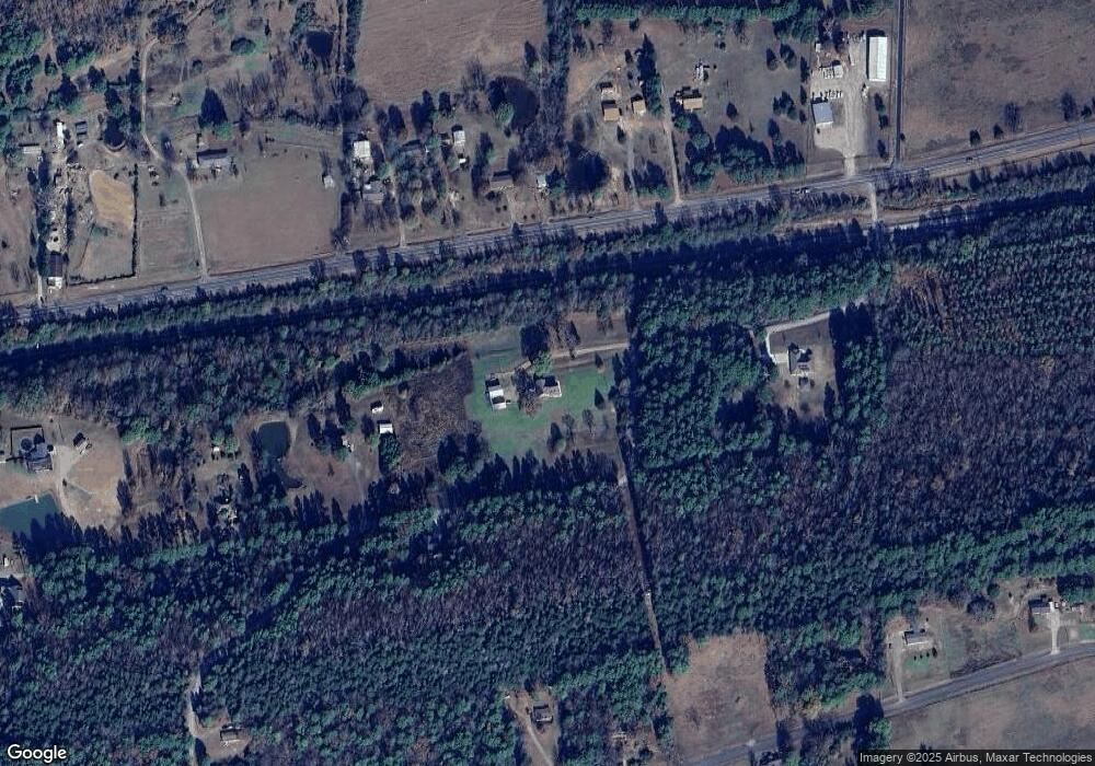
Map
Nearby Homes
- 2369 U S 64
- 540 S Van Buren St
- 21 Spires Rd
- 50 Lovett Ln
- 4 Robins Ridge Rd
- 23 Walker Ln
- 517 Highway 287
- 514 Highway 287
- 1 Moonlight Dr
- 301 E Church St
- 43 Sunset Blvd
- 70 Highway 92
- 47 Sunset Blvd
- 000 Portland Rd
- 30 Sunny Dr
- 31 Sunny Dr
- 0 Airport Rd
- Lot 7 and Lot 10 Holloway St
- Lot 7 and 10 Holloway St
- 12 Bruce St
Your Personal Tour Guide
Ask me questions while you tour the home.