71 Wingaersheek Rd Gloucester, MA 01930
West Gloucester NeighborhoodEstimated Value: $1,968,000 - $3,751,000
3
Beds
1
Bath
768
Sq Ft
$3,985/Sq Ft
Est. Value
About This Home
This home is located at 71 Wingaersheek Rd, Gloucester, MA 01930 and is currently estimated at $3,060,861, approximately $3,985 per square foot. 71 Wingaersheek Rd is a home located in Essex County with nearby schools including West Parish, Ralph B O'maley Middle School, and Gloucester High School.
Ownership History
Date
Name
Owned For
Owner Type
Purchase Details
Closed on
Aug 31, 2017
Sold by
Wolcott 3Rd Oliver
Bought by
O W Wingaersheek 3Rd T
Current Estimated Value
Purchase Details
Closed on
Jan 2, 2013
Sold by
Wolcott Oliver
Bought by
Wolcott 3Rd Oliver and Wolctt Charles S
Purchase Details
Closed on
Dec 19, 2012
Sold by
Wolcott Oliver
Bought by
Wolcott 3Rd Oliver and Wolcott Charles S
Purchase Details
Closed on
Apr 19, 2012
Sold by
Kidder Michael R
Bought by
Mrk Wingaersheek Llc
Create a Home Valuation Report for This Property
The Home Valuation Report is an in-depth analysis detailing your home's value as well as a comparison with similar homes in the area
Home Values in the Area
Average Home Value in this Area
Purchase History
| Date | Buyer | Sale Price | Title Company |
|---|---|---|---|
| O W Wingaersheek 3Rd T | -- | -- | |
| O W Wingaersheek 3Rd T | -- | -- | |
| Wolcott 3Rd Oliver | -- | -- | |
| Wolcott 3Rd Oliver | -- | -- | |
| Mrk Wingaersheek Llc | -- | -- |
Source: Public Records
Tax History
| Year | Tax Paid | Tax Assessment Tax Assessment Total Assessment is a certain percentage of the fair market value that is determined by local assessors to be the total taxable value of land and additions on the property. | Land | Improvement |
|---|---|---|---|---|
| 2025 | $29,092 | $2,993,000 | $2,930,100 | $62,900 |
| 2024 | $27,732 | $2,850,200 | $2,787,300 | $62,900 |
| 2023 | $25,782 | $2,434,600 | $2,377,500 | $57,100 |
| 2022 | $23,902 | $2,037,700 | $1,982,000 | $55,700 |
| 2021 | $23,077 | $1,855,100 | $1,802,300 | $52,800 |
| 2020 | $22,884 | $1,856,000 | $1,802,300 | $53,700 |
| 2019 | $22,421 | $1,766,800 | $1,718,500 | $48,300 |
| 2018 | $22,245 | $1,720,400 | $1,676,600 | $43,800 |
| 2017 | $22,001 | $1,668,000 | $1,596,800 | $71,200 |
| 2016 | $17,818 | $1,309,200 | $1,249,000 | $60,200 |
| 2015 | $17,483 | $1,280,800 | $1,220,600 | $60,200 |
Source: Public Records
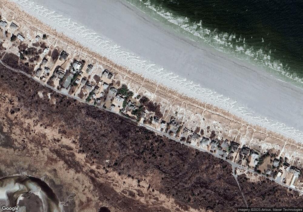
Map
Nearby Homes
- 220 Atlantic St
- 226 Atlantic St
- 178 Atlantic St
- 167 Atlantic St
- 117 Bray St
- 136 Leonard St
- 672 Washington St
- 15 Lufkin Point Rd
- 4 Ciaramitaro Ct
- 6-8 Joppa Way
- 3 Colburn St Unit 1
- 7 Colburn St
- 457 Washington St Unit 2
- 53 Concord St
- 31 Echo Ave
- 6 Stanwood Point Unit B
- 5 Samoset Rd Unit B
- 368 Essex Ave
- 154R Eastern Ave
- 43 High St Unit B
- 69 Wingaersheek Rd
- 73 Wingaersheek Rd
- 67 Wingaersheek Rd
- 77 Wingaersheek Rd
- 63 Wingaersheek Rd
- 79 Wingaersheek Rd
- 79 Wingaersheek Rd
- 61 Wingaersheek Rd
- 5 Pebble Path
- 1 Pebble Path
- 7 Pebble Path
- 7 Pebble Path Unit 7
- 4 Pebble Path
- 2 Pebble Path
- 59 Wingaersheek Rd
- 8 Pebble Path
- 85 Wingaersheek Rd
- 57 Wingaersheek Rd
- 87 Wingaersheek Rd
- 87 Wingaersheek Rd
Your Personal Tour Guide
Ask me questions while you tour the home.