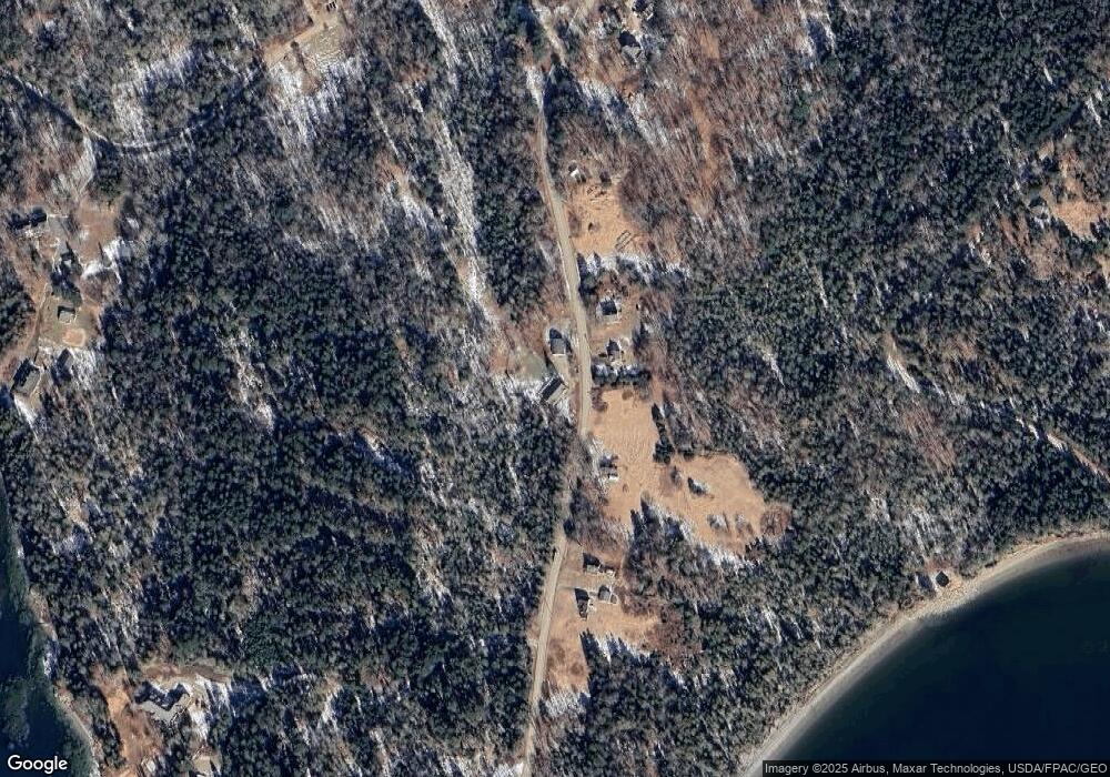
710 Main Rd Islesboro, ME 04848
Estimated Value: $381,000 - $720,000
3
Beds
2
Baths
1,460
Sq Ft
$372/Sq Ft
Est. Value
About This Home
This home is located at 710 Main Rd, Islesboro, ME 04848 and is currently estimated at $543,610, approximately $372 per square foot. 710 Main Rd is a home with nearby schools including Islesboro Central School.
Ownership History
Date
Name
Owned For
Owner Type
Purchase Details
Closed on
Feb 19, 2025
Sold by
Schnur Rebecca and Schlottman John P
Bought by
Ernte Ret and Schlottman
Current Estimated Value
Purchase Details
Closed on
Aug 10, 2022
Sold by
Wood Ronald F
Bought by
Schnur Rebecca and Schlottman John P
Purchase Details
Closed on
Mar 16, 2007
Sold by
Schnur Marc V
Bought by
Schnur Rebecca and Schlottman John
Create a Home Valuation Report for This Property
The Home Valuation Report is an in-depth analysis detailing your home's value as well as a comparison with similar homes in the area
Purchase History
| Date | Buyer | Sale Price | Title Company |
|---|---|---|---|
| Ernte Ret | -- | None Available | |
| Ernte Ret | -- | None Available | |
| Schnur Rebecca | -- | None Available | |
| Schnur Rebecca | -- | None Available | |
| Schnur Rebecca | -- | -- | |
| Schnur Rebecca | -- | -- |
Source: Public Records
Tax History Compared to Growth
Tax History
| Year | Tax Paid | Tax Assessment Tax Assessment Total Assessment is a certain percentage of the fair market value that is determined by local assessors to be the total taxable value of land and additions on the property. | Land | Improvement |
|---|---|---|---|---|
| 2024 | $4,617 | $388,000 | $84,900 | $303,100 |
| 2023 | $4,268 | $388,000 | $84,900 | $303,100 |
| 2022 | $5,031 | $279,500 | $85,300 | $194,200 |
| 2021 | $4,933 | $279,500 | $85,300 | $194,200 |
| 2020 | $4,128 | $242,800 | $85,300 | $157,500 |
| 2019 | $3,906 | $234,600 | $77,100 | $157,500 |
| 2018 | $3,836 | $234,600 | $77,100 | $157,500 |
| 2017 | $3,707 | $234,600 | $77,100 | $157,500 |
| 2016 | $3,693 | $234,600 | $77,100 | $157,500 |
| 2015 | $3,510 | $234,600 | $77,100 | $157,500 |
| 2014 | $3,315 | $273,300 | $89,800 | $183,500 |
| 2012 | $3,211 | $273,300 | $89,800 | $183,500 |
Source: Public Records
Map
Nearby Homes
- 399 Hermit's Point Rd
- 2Q Hermit's Point Rd
- 938 Main Rd
- 300 Main Rd
- 364 & 367 Main Rd
- 1027 Meadow Pond Rd
- 292 Main Rd
- 292 & 300 Main Rd
- 181 Oregon Rd
- 376 W Bay Rd
- 12D, 12I Mildred Grace Rd
- 608 Atlantic Hwy
- 165 Glenwood Ln
- 118 E East Shore Dr
- 43 Oak Dr
- 185 Glenwood Ln
- 8 Beech Hill Rd
- 228 Gooseberry Point Rd
- 66 Ocean Ridge Rd
- 522 Ferry Rd
- 22-4F Main Rd
- 693 Main Rd
- 717 Main Rd
- 689 Main Rd
- 703 Main Rd
- Lot 4B Big Tree Ln
- Map 22 Big Tree Ln
- 743 Main Rd
- 130 Big Tree Ln
- 661 Main Rd
- 707 Main Rd
- 134 Big Tree Ln
- 670 Main Rd
- 140 Keller Point Rd
- 113 Keller Point Rd
- 142 Keller Point Rd
- 105 Keller Point Rd
- 888 Billy Shore Dr
- 886 Billy Shore Dr
- 0 Billy Shore Dr
