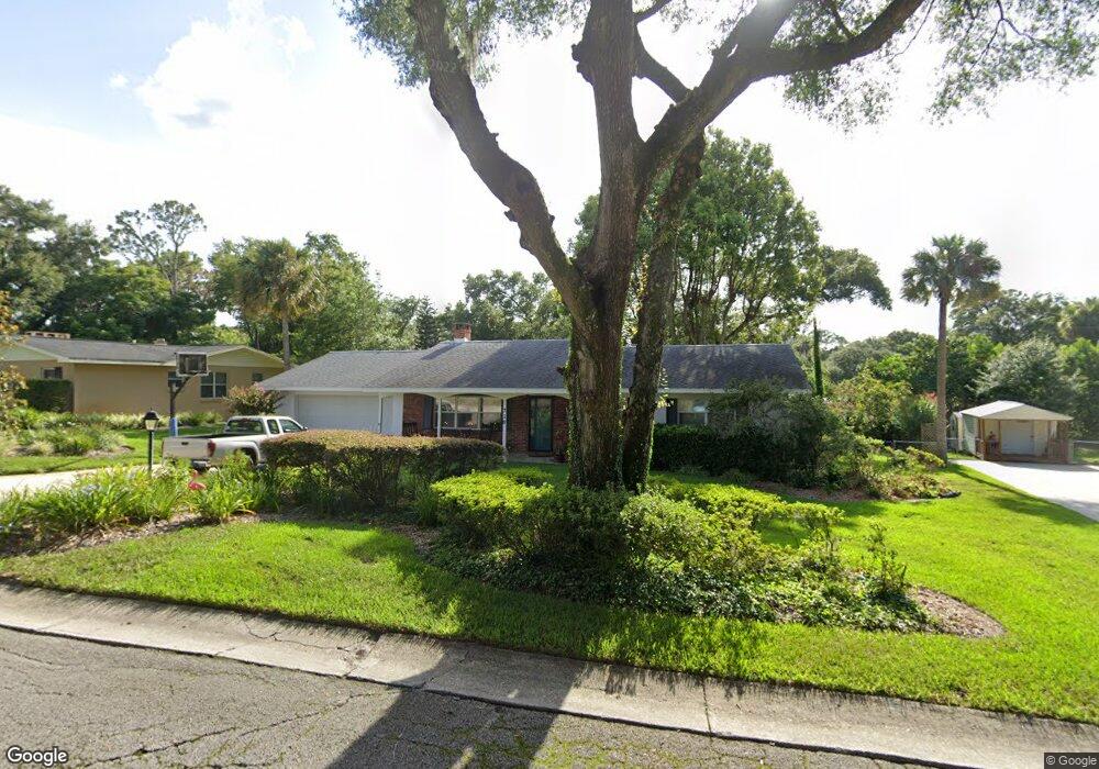
710 Pine Tree Ct Deland, FL 32724
Deland AreaEstimated Value: $316,000 - $371,000
About This Home
This home is located at 710 Pine Tree Ct, Deland, FL 32724 and is currently estimated at $331,348, approximately $172 per square foot. 710 Pine Tree Ct is a home located in Volusia County with nearby schools including Deland High School, George W. Marks Elementary School, and Deland Middle School.
Ownership History
We collect this data history from publicly available records. To have your information removed, we recommend requesting removal directly through your county’s website.
Purchase Details
Purchase Details
Purchase Details
Purchase Details
Purchase History
We collect this data history from publicly available records. To have your information removed, we recommend requesting removal directly through your county’s website.
| Date | Buyer | Sale Price | Title Company |
|---|---|---|---|
| $86,500 | -- | ||
| $100 | -- | ||
| $85,500 | -- | ||
| $8,000 | -- |
Mortgage History
We collect this data history from publicly available records. To have your information removed, we recommend requesting removal directly through your county’s website.
| Date | Status | Borrower | Loan Amount |
|---|---|---|---|
| Open | $66,000 |
Tax History
We collect this data history from publicly available records. To have your information removed, we recommend requesting removal directly through your county’s website.
| Year | Tax Paid | Tax Assessment Tax Assessment Total Assessment is a certain percentage of the fair market value that is determined by local assessors to be the total taxable value of land and additions on the property. | Land | Improvement |
|---|---|---|---|---|
| 2026 | $1,530 | $130,647 | ||
| 2025 | $1,530 | $127,213 | ||
| 2024 | $1,448 | $123,628 | ||
| 2023 | $1,448 | $120,028 | $0 | $0 |
| 2022 | $1,407 | $116,532 | $0 | $0 |
| 2021 | $1,442 | $113,138 | $0 | $0 |
| 2020 | $1,417 | $111,576 | $0 | $0 |
| 2019 | $1,427 | $109,067 | $0 | $0 |
| 2018 | $1,441 | $107,033 | $0 | $0 |
| 2017 | $1,442 | $104,832 | $0 | $0 |
| 2016 | $1,381 | $102,676 | $0 | $0 |
| 2015 | $1,413 | $101,962 | $0 | $0 |
| 2014 | $1,425 | $101,153 | $0 | $0 |
Map
- 715 Eastover Cir
- 708 Montreville Ave
- 927 Azalea Walk Cir
- 905 Northern Oaks Terrace
- 900 Azalea Walk Cir
- 975 N Boston Ave
- 611 N Garfield Ave
- 614 John Thomas Ave
- 516 N McDonald Ave
- 11 S University Cir
- 448 N Kansas Ave
- 1104 N Boston Ave
- 712 E Arizona Ave Unit A
- 714 E Minnesota Ave Unit B
- 706 E Minnesota Ave Unit C
- 405 N McDonald Ave
- 912 E Arizona Ave
- 900 E Michigan Ave
- 915 E Michigan Ave
- 904 E Michigan Ave
- 708 Pine Tree Ct
- 712 Pine Tree Ct
- 711 N Boston Ave
- 715 N Boston Ave
- 709 N Boston Ave
- 711 Pine Tree Ct
- 714 Pine Tree Ct
- 721 N Boston Ave
- 711 E Pennsylvania Ave
- 720 Pine Tree Ct
- 715 Pine Tree Ct
- 704 N Kansas Ave
- 718 N Boston Ave
- 722 N Boston Ave
- 702 Eastover Cir
- 710 Eastover Cir
- 724 N Boston Ave
- 716 N Boston Ave
- 707 Pine Tree Ct
- 801 N Boston Ave
Ask me questions while you tour the home.