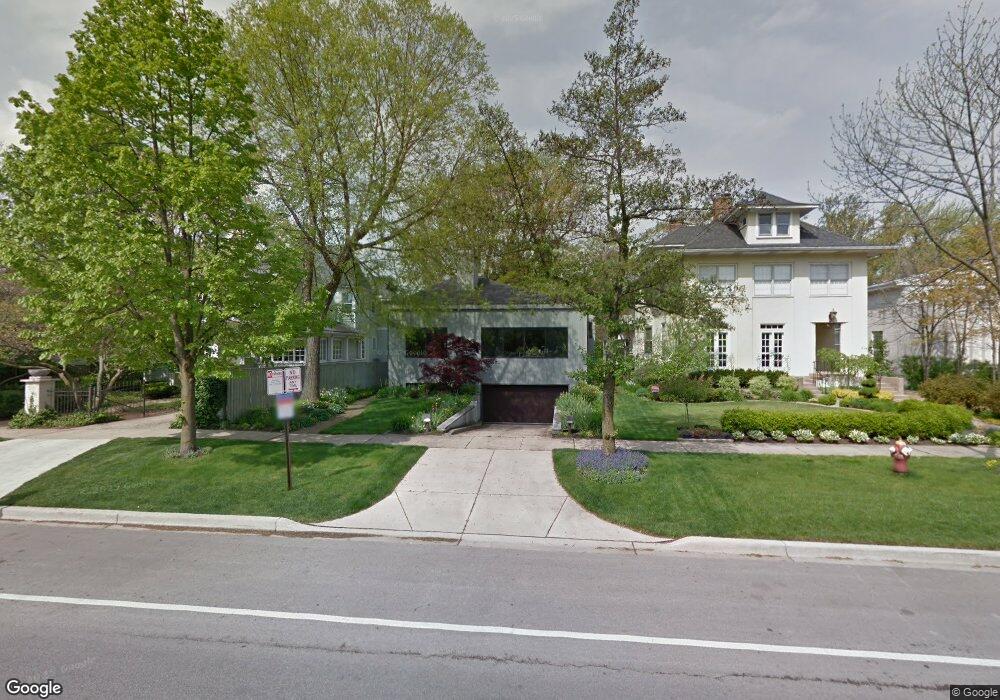
710 Sheridan Rd Evanston, IL 60202
Southeast Evanston NeighborhoodEstimated Value: $1,353,000 - $1,554,220
About This Home
This home is located at 710 Sheridan Rd, Evanston, IL 60202 and is currently estimated at $1,463,555, approximately $540 per square foot. 710 Sheridan Rd is a home located in Cook County with nearby schools including Lincoln Elementary School, Washington Elementary School, and Nichols Middle School.
Ownership History
We collect this data history from publicly available records. To have your information removed, we recommend requesting removal directly through your county’s website.
Purchase Details
Home Values in the Area
Average Home Value in this Area
Purchase History
We collect this data history from publicly available records. To have your information removed, we recommend requesting removal directly through your county’s website.
| Date | Buyer | Sale Price | Title Company |
|---|---|---|---|
| $622,500 | Rei Title |
Tax History
We collect this data history from publicly available records. To have your information removed, we recommend requesting removal directly through your county’s website.
| Year | Tax Paid | Tax Assessment Tax Assessment Total Assessment is a certain percentage of the fair market value that is determined by local assessors to be the total taxable value of land and additions on the property. | Land | Improvement |
|---|---|---|---|---|
| 2025 | $25,661 | $112,001 | $29,998 | $82,003 |
| 2024 | $25,661 | $106,000 | $25,350 | $80,650 |
| 2023 | $24,623 | $106,000 | $25,350 | $80,650 |
| 2022 | $24,623 | $106,000 | $25,350 | $80,650 |
| 2021 | $21,226 | $85,980 | $13,520 | $72,460 |
| 2020 | $21,051 | $85,980 | $13,520 | $72,460 |
| 2019 | $20,403 | $93,254 | $13,520 | $79,734 |
| 2018 | $20,056 | $79,387 | $11,407 | $67,980 |
| 2017 | $19,561 | $79,387 | $11,407 | $67,980 |
| 2016 | $19,007 | $79,387 | $11,407 | $67,980 |
| 2015 | $16,921 | $67,605 | $9,506 | $58,099 |
| 2014 | $16,785 | $67,605 | $9,506 | $58,099 |
| 2013 | $16,372 | $67,605 | $9,506 | $58,099 |
Map
- 602 Sheridan Rd Unit 2W
- 598 Sheridan Square Unit 2W
- 840 Michigan Ave Unit 10
- 548 Michigan Ave Unit 2
- 560 Sheridan Square Unit 2
- 540 Sheridan Rd Unit 3
- 538 Michigan Ave Unit 3F
- 530 Sheridan Rd Unit 3B
- 102 South Blvd Unit A
- 496 Sheridan Rd Unit 1
- 208 South Blvd Unit D
- 470 Sheridan Rd Unit 2
- 730 Hinman Ave Unit 3W
- 616 Hinman Ave Unit 1D
- 728 1/2 Hinman Ave Unit 2S
- 824 Hinman Ave Unit 3N
- 540 Hinman Ave Unit 7
- 901 Hinman Ave Unit 3B
- 856 Hinman Ave Unit G
- 525 Chicago Ave Unit I
- 726 Sheridan Rd
- 722 Sheridan Rd
- 730 Sheridan Rd
- 718 Sheridan Rd
- 732 Sheridan Rd
- 714 Sheridan Rd
- 727 Michigan Ave
- 725 Michigan Ave
- 731 Michigan Ave
- 719 Michigan Ave
- 735 Michigan Ave
- 110 Kedzie St
- 715 Michigan Ave
- 739 Michigan Ave
- 727 Sheridan Rd
- 721 Sheridan Rd
- 741 Michigan Ave
- 706 Sheridan Rd
- 735 Sheridan Rd
- 715 Sheridan Rd
Ask me questions while you tour the home.