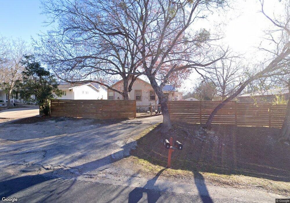
7103 Circle s Rd Unit B Austin, TX 78745
South Austin NeighborhoodEstimated Value: $675,000 - $738,000
Studio
2
Baths
2,864
Sq Ft
$249/Sq Ft
Est. Value
About This Home
This home is located at 7103 Circle s Rd Unit B, Austin, TX 78745 and is currently estimated at $712,656, approximately $248 per square foot. 7103 Circle s Rd Unit B is a home located in Travis County with nearby schools including Pleasant Hill Elementary School, Bedichek Middle School, and Crockett High School.
Ownership History
Date
Name
Owned For
Owner Type
Purchase Details
Closed on
Jun 12, 2015
Sold by
Antu Jose L and Antu Angela W
Bought by
Intelisano Stefano
Current Estimated Value
Home Financials for this Owner
Home Financials are based on the most recent Mortgage that was taken out on this home.
Original Mortgage
$303,450
Outstanding Balance
$234,610
Interest Rate
3.7%
Mortgage Type
New Conventional
Estimated Equity
$478,046
Create a Home Valuation Report for This Property
The Home Valuation Report is an in-depth analysis detailing your home's value as well as a comparison with similar homes in the area
Home Values in the Area
Average Home Value in this Area
Purchase History
| Date | Buyer | Sale Price | Title Company |
|---|---|---|---|
| Intelisano Stefano | -- | None Available |
Source: Public Records
Mortgage History
| Date | Status | Borrower | Loan Amount |
|---|---|---|---|
| Open | Intelisano Stefano | $303,450 |
Source: Public Records
Tax History
| Year | Tax Paid | Tax Assessment Tax Assessment Total Assessment is a certain percentage of the fair market value that is determined by local assessors to be the total taxable value of land and additions on the property. | Land | Improvement |
|---|---|---|---|---|
| 2025 | $9,986 | $586,126 | -- | -- |
| 2023 | $8,850 | $564,016 | $0 | $0 |
| 2022 | $10,622 | $537,866 | $0 | $0 |
| 2021 | $17,291 | $794,366 | $100,000 | $927,734 |
| 2020 | $8,371 | $390,284 | $100,000 | $290,284 |
| 2018 | $8,641 | $390,284 | $100,000 | $290,284 |
| 2017 | $8,704 | $390,284 | $100,000 | $290,284 |
| 2016 | $8,958 | $401,664 | $100,000 | $301,664 |
| 2015 | $1,992 | $195,034 | $32,000 | $163,034 |
| 2014 | $1,992 | $157,850 | $32,000 | $125,850 |
Source: Public Records
Map
Nearby Homes
- 700 & 604 Corral Ln
- 7200 Redding Dr
- 700 Corral Ln
- 131 Thelonious Dr Unit 1503
- 142 Thelonious Dr
- 207 Bridgeford Dr Unit 16
- 7409 Merrick Ln Unit 40
- 304 Loganberry Ct
- 313 Blackberry Dr
- 6809 Lunar Dr
- 101 Starbright Dr
- 404 W Dittmar Rd
- 801 N Bluff Dr Unit 50
- 801 N Bluff Dr Unit 28
- 7113 Bill Hughes Rd
- 509 Blackberry Dr
- 6601 Skycrest Dr
- 814 N Bluff Dr Unit 91
- 814 N Bluff Dr Unit 74
- 6600 Skycrest Dr
- 7103 Circle s Rd Unit A
- 7103 Circle s Rd
- 7103 Circle s Rd
- 7103 Circle s Rd Unit A
- 7105 Circle s Rd
- 7101 Circle s Rd
- 7101 Circle Rd S
- 7009 Circle s Rd
- 200 Corral Ln
- 7007 Circle s Rd
- 300 Corral Ln
- 7016 Circle Rd S
- 7016 Circle s Rd
- 7012 Circle s Rd
- 7007 Circle Rd S
- 7100 Circle Rd S
- 7008 Circle s Rd
- 306 Corral Ln Unit B
- 306 Corral Ln
- 306 Corral Ln Unit A
Your Personal Tour Guide
Ask me questions while you tour the home.