712 Bridlepath Trail Davidson, NC 28036
Huntersville AreaEstimated Value: $1,873,000 - $2,708,000
About This Home
This home is located at 712 Bridlepath Trail, Davidson, NC 28036 and is currently estimated at $2,477,002, approximately $366 per square foot. 712 Bridlepath Trail is a home located in Mecklenburg County with nearby schools including Davidson Elementary School, William Amos Hough High School, and Lakeside Charter Academy.
Ownership History
We collect this data history from publicly available records. To have your information removed, we recommend requesting removal directly through your county’s website.
Purchase Details
Home Financials for this Owner
Home Financials are based on the most recent Mortgage that was taken out on this home.Purchase Details
Home Financials for this Owner
Home Financials are based on the most recent Mortgage that was taken out on this home.Home Values in the Area
Average Home Value in this Area
Purchase History
We collect this data history from publicly available records. To have your information removed, we recommend requesting removal directly through your county’s website.
| Date | Buyer | Sale Price | Title Company |
|---|---|---|---|
| $1,107,000 | None Available | ||
| $350,000 | None Available |
Mortgage History
We collect this data history from publicly available records. To have your information removed, we recommend requesting removal directly through your county’s website.
| Date | Status | Borrower | Loan Amount |
|---|---|---|---|
| Open | $960,884 | ||
| Closed | $463,000 | ||
| Previous Owner | $855,501 | ||
| Previous Owner | $250,000 | ||
| Previous Owner | $297,500 |
Tax History
We collect this data history from publicly available records. To have your information removed, we recommend requesting removal directly through your county’s website.
| Year | Tax Paid | Tax Assessment Tax Assessment Total Assessment is a certain percentage of the fair market value that is determined by local assessors to be the total taxable value of land and additions on the property. | Land | Improvement |
|---|---|---|---|---|
| 2025 | -- | $1,937,080 | $528,400 | $1,408,680 |
| 2024 | -- | $1,937,080 | $528,400 | $1,408,680 |
| 2023 | $11,986 | $1,937,080 | $528,400 | $1,408,680 |
| 2022 | $11,986 | $1,248,480 | $279,500 | $968,980 |
| 2021 | $10,640 | $1,248,480 | $279,500 | $968,980 |
| 2020 | $11,986 | $1,186,200 | $279,500 | $906,700 |
| 2019 | $9,821 | $1,186,200 | $279,500 | $906,700 |
| 2018 | $12,443 | $1,105,800 | $286,900 | $818,900 |
| 2017 | $12,357 | $1,105,800 | $286,900 | $818,900 |
| 2016 | $11,986 | $1,105,800 | $286,900 | $818,900 |
| 2015 | $12,038 | $1,105,800 | $286,900 | $818,900 |
| 2014 | $11,840 | $0 | $0 | $0 |
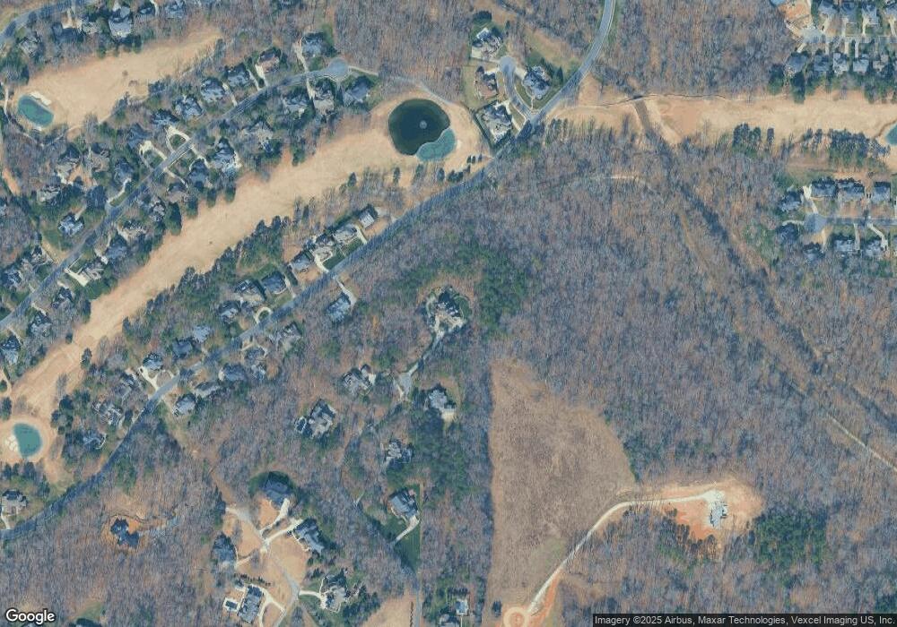
Map
- 425 Bridlepath Trail
- 18324 Turnberry Ct
- 14811 Williams Place Aly
- 15132 Rocky Bluff Loop
- 19322 River Falls Dr
- 16830 Reinsch Dr
- 16117 Halle Marie Cir
- 16117 Halle Marie Cir
- 22038 Endor Way
- 19227 Shearer Rd
- 19227 Shearer Rd
- 15425 E Rocky River Rd
- 22034 Endor Way
- 11006 Sound Rd
- 18027 Shearer Rd
- 22035 Endor Way
- 22035 Endor Way
- 15013 Blount Rd
- 15615 E Rocky River Rd
- 14212 Ryker Way
- 632 Bridlepath Trail
- 703 Bridlepath Trail
- 17601 River Ford Dr
- 17522 River Ford Dr
- 17522 River Ford Dr Unit 13
- 17530 River Ford Dr Unit 12
- 17530 River Ford Dr
- 17569 River Ford Dr
- 17569 River Ford Dr Unit 128
- 17569 River Ford Dr Unit 126
- 17569 River Ford Dr Unit 124
- 17569 River Ford Dr Unit 123
- 17569 River Ford Dr Unit 122
- 17538 River Ford Dr
- 17538 River Ford Dr Unit 11
- 17600 River Ford Dr
- 17600 River Ford Dr Unit L10 B9 M23-283
- 600 Bridlepath Trail
- 17615 River Ford Dr
- 611 Bridlepath Trail
Ask me questions while you tour the home.