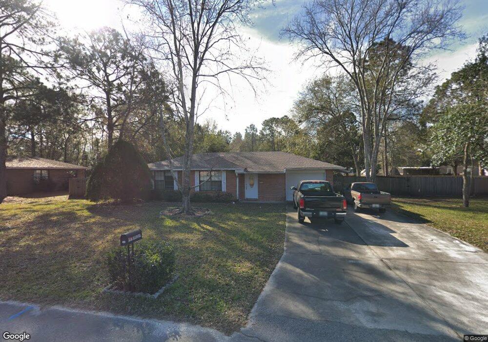
712 Long Dr MacClenny, FL 32063
Estimated Value: $206,000 - $226,000
Studio
1
Bath
992
Sq Ft
$219/Sq Ft
Est. Value
About This Home
This home is located at 712 Long Dr, MacClenny, FL 32063 and is currently estimated at $216,853, approximately $218 per square foot. 712 Long Dr is a home located in Baker County with nearby schools including Keller Intermediate School, MacClenny Elementary School, and Baker County Middle School.
Ownership History
Date
Name
Owned For
Owner Type
Purchase Details
Closed on
Oct 22, 2019
Sold by
Oliver Robert Lee
Bought by
Evans Heike
Current Estimated Value
Home Financials for this Owner
Home Financials are based on the most recent Mortgage that was taken out on this home.
Original Mortgage
$135,579
Outstanding Balance
$118,248
Interest Rate
3.5%
Mortgage Type
New Conventional
Estimated Equity
$98,605
Purchase Details
Closed on
May 28, 2009
Sold by
Branscome Sherry D and Branscome Ronald C
Bought by
Oliver Robert Lee
Home Financials for this Owner
Home Financials are based on the most recent Mortgage that was taken out on this home.
Original Mortgage
$93,673
Interest Rate
4.77%
Mortgage Type
Purchase Money Mortgage
Create a Home Valuation Report for This Property
The Home Valuation Report is an in-depth analysis detailing your home's value as well as a comparison with similar homes in the area
Home Values in the Area
Average Home Value in this Area
Purchase History
| Date | Buyer | Sale Price | Title Company |
|---|---|---|---|
| Evans Heike | $132,500 | Baker Title & Escrow Co Inc | |
| Oliver Robert Lee | $90,000 | Baker Title & Escrow Co Inc |
Source: Public Records
Mortgage History
| Date | Status | Borrower | Loan Amount |
|---|---|---|---|
| Open | Evans Heike | $135,579 | |
| Previous Owner | Oliver Robert Lee | $93,673 |
Source: Public Records
Tax History
| Year | Tax Paid | Tax Assessment Tax Assessment Total Assessment is a certain percentage of the fair market value that is determined by local assessors to be the total taxable value of land and additions on the property. | Land | Improvement |
|---|---|---|---|---|
| 2025 | $1,160 | $110,041 | -- | -- |
| 2024 | $1,116 | $106,940 | -- | -- |
| 2023 | $1,073 | $103,825 | $0 | $0 |
| 2022 | $1,028 | $100,801 | $0 | $0 |
| 2021 | $1,007 | $97,865 | $0 | $0 |
| 2020 | $995 | $96,514 | $0 | $0 |
| 2019 | $1,562 | $85,219 | $17,500 | $67,719 |
| 2018 | $1,500 | $80,892 | $0 | $0 |
| 2017 | $1,469 | $78,440 | $0 | $0 |
| 2016 | $1,448 | $75,878 | $0 | $0 |
| 2015 | $1,409 | $72,298 | $0 | $0 |
| 2014 | $1,401 | $71,269 | $0 | $0 |
Source: Public Records
Map
Nearby Homes
- 717 Bogie Dr
- 724 Miltondale Rd
- 369 Owen Acres Dr
- 906 Jacqueline Cir
- 639 W Ohio Ave
- 406 Barbara Cir
- 768 Constitution Place
- 551 Heritage Crossing
- 724 Liberty Cir
- 570 Independence Dr
- 553 Lissie Ct
- 288 W Ohio Ave
- 6121 Michele Rd
- 423 South Blvd W
- 172 W Mciver Ave
- 702 N 7th St
- 521 Quail Ln
- 47 N 5th St
- 34 N College St
- 10413 Greystone Dr
Your Personal Tour Guide
Ask me questions while you tour the home.