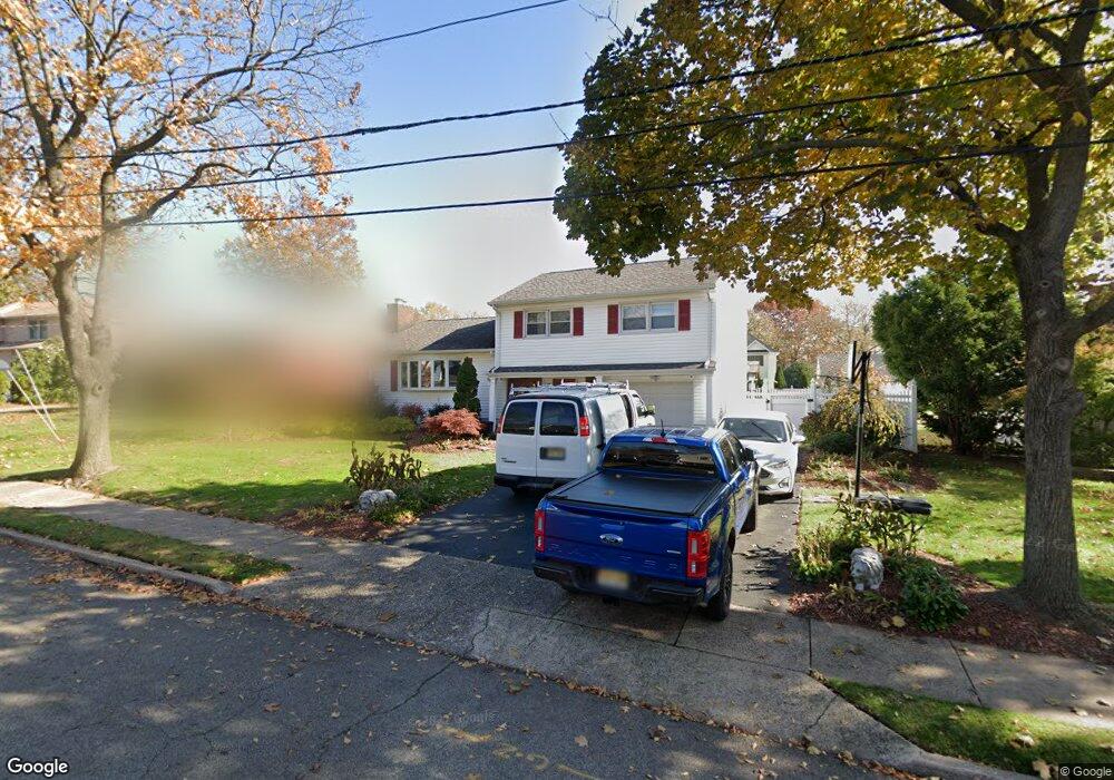
712 Sandor Ct Paramus, NJ 07652
Estimated Value: $845,782 - $1,028,000
Studio
--
Bath
1,794
Sq Ft
$537/Sq Ft
Est. Value
About This Home
This home is located at 712 Sandor Ct, Paramus, NJ 07652 and is currently estimated at $963,196, approximately $536 per square foot. 712 Sandor Ct is a home located in Bergen County with nearby schools including Paramus High School and Bergen Catholic High School.
Ownership History
Date
Name
Owned For
Owner Type
Purchase Details
Closed on
Aug 25, 2003
Current Estimated Value
Purchase Details
Closed on
May 22, 2002
Sold by
Estate Of William Schwarz
Bought by
Moceri Michael and Moceri Judy
Home Financials for this Owner
Home Financials are based on the most recent Mortgage that was taken out on this home.
Original Mortgage
$297,750
Interest Rate
6.8%
Create a Home Valuation Report for This Property
The Home Valuation Report is an in-depth analysis detailing your home's value as well as a comparison with similar homes in the area
Home Values in the Area
Average Home Value in this Area
Purchase History
| Date | Buyer | Sale Price | Title Company |
|---|---|---|---|
| -- | -- | -- | |
| Moceri Michael | $397,000 | -- |
Source: Public Records
Mortgage History
| Date | Status | Borrower | Loan Amount |
|---|---|---|---|
| Previous Owner | Moceri Michael | $297,750 |
Source: Public Records
Tax History
| Year | Tax Paid | Tax Assessment Tax Assessment Total Assessment is a certain percentage of the fair market value that is determined by local assessors to be the total taxable value of land and additions on the property. | Land | Improvement |
|---|---|---|---|---|
| 2025 | $9,882 | $695,500 | $404,100 | $291,400 |
| 2024 | $9,606 | $652,700 | $374,600 | $278,100 |
| 2023 | $9,121 | $626,200 | $357,400 | $268,800 |
| 2022 | $9,121 | $587,700 | $334,100 | $253,600 |
| 2021 | $8,905 | $538,400 | $304,600 | $233,800 |
| 2020 | $8,387 | $525,800 | $294,600 | $231,200 |
| 2019 | $7,593 | $409,100 | $264,000 | $145,100 |
| 2018 | $7,499 | $409,100 | $264,000 | $145,100 |
| 2017 | $7,368 | $409,100 | $264,000 | $145,100 |
| 2016 | $7,167 | $409,100 | $264,000 | $145,100 |
| 2015 | $7,094 | $409,100 | $264,000 | $145,100 |
| 2014 | $7,032 | $409,100 | $264,000 | $145,100 |
Source: Public Records
Map
Nearby Homes
- 714 Sandor Ct
- 708 Sandor Ct
- 715 Chadwick Dr
- 717 Chadwick Dr
- 716 Sandor Ct
- 711 Chadwick Dr
- 711 Sandor Ct
- 83 E Ridgewood Ave
- 721 Chadwick Dr
- 718 Sandor Ct
- 707 Chadwick Dr
- 91 E Ridgewood Ave
- 81 E Ridgewood Ave
- 715 Sandor Ct
- 717 Sandor Ct
- 717 Sandor Ct Unit 1
- 86 Crain Rd
- 80 Crain Rd
- 703 Chadwick Dr
- 79 E Ridgewood Ave
Your Personal Tour Guide
Ask me questions while you tour the home.